South Village
Campground
Campground · 0.1 mi from the trail
Alert in the area
The Forest Service lists 2 alerts for San Bernardino National Forest.
Safety Alert - Falling Rocks at Bonita Falls
Agency alert covering San Bernardino National Forest · USFS · San Bernardino National Forest
Fire Restrictions
Agency alert covering San Bernardino National Forest · Order 05-12-00-26-05 · USFS · San Bernardino National Forest
As of · Source: USFS · San Bernardino National Forest. Agencies don't list every closure — check before you go.
South Stork Trail is a short, easy out-and-back hike in the San Jacinto Ranger District of San Bernardino National Forest in California. The trail is about 0.44 miles long, and the round trip covers roughly 0.88 miles with a total elevation gain of 289 feet, peaking at 5,484 feet. The climb is front-loaded, with the steepest stretch at about 0.27 miles in, where the grade reaches 9 percent. The most comfortable months for a visit are typically May and October, when typical averages from a nearby weather station in Idyllwild run around 71°F and 72°F for highs, with lows near 41°F and 42°F. Winter brings cooler temperatures and a few snow days each month from December through February. The trail sits close to several other routes. White Rock Trail is about 0.1 mile away, and the Stork Trail loop is about 0.2 mile away. Stawberry Creek Spring is about 0.3 mile away. Climbers can find Parking Lot Boulder about 3.1 miles off.
South Village
Campground
 If it rainsVisitor7, CC BY-SA 3.0 · Wikimedia Commons
Places © OpenStreetMap contributors, Places © Overture Maps Foundation · Photos: Visitor7, CC BY-SA 3.0 (commons)
More in Desert Hot SpringsNot on Roamze yet. Their page has how to reach them.
 Parking Lot BoulderRock climbingPhoto: sergei.gussev, CC BY 2.0 (via Flickr)3.1 mi
 Elephant Man BoulderRock climbingPhoto: sergei.gussev, CC BY 2.0 (via Flickr)3.1 mi
Source: Roamze catalog (indexable pages within 10 miles, PostGIS distance)
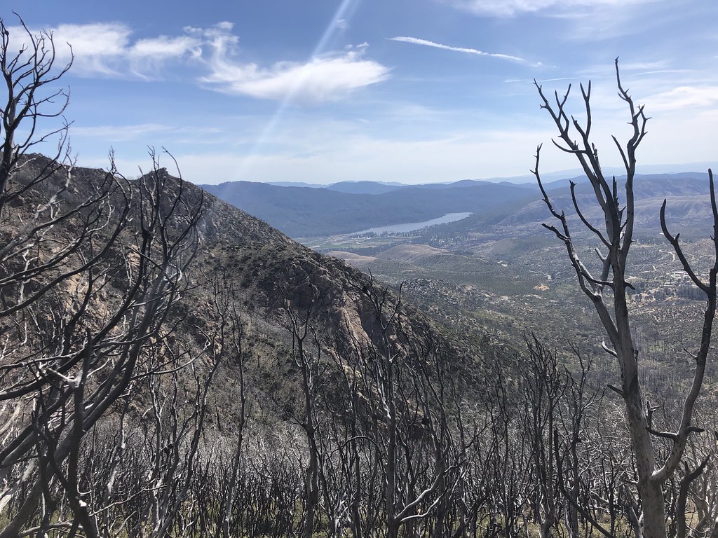 Spitler PeakHiking · ~3 min drivePhoto: Rick McCharles, CC BY 2.0 (via Flickr)
 Southridge FugaweeHiking · ~5 min drivePhoto: sergei.gussev, CC BY 2.0 (via Flickr)
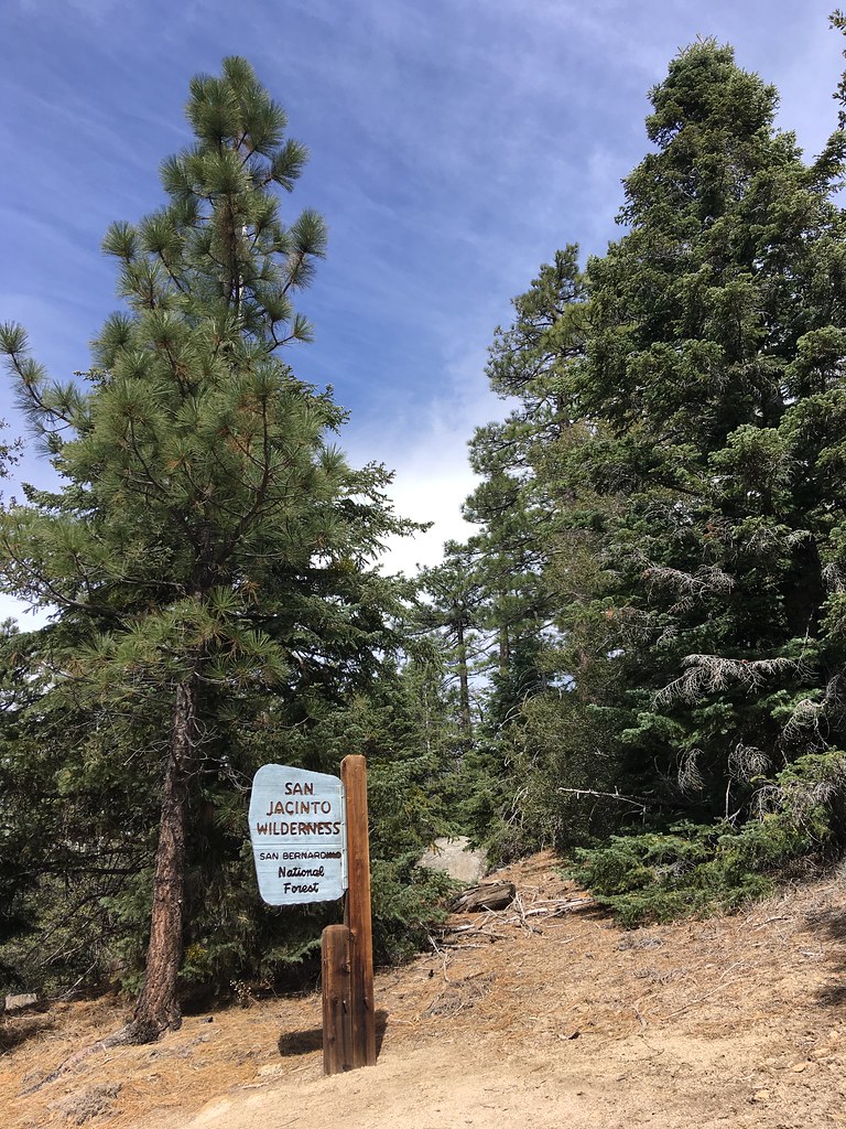 Ridgeline TrailHiking · ~6 min drivePhoto: sergei.gussev, CC BY 2.0 (via Flickr)South RidgeHiking · ~5 min drivePhoto: sergei.gussev, CC BY 2.0 (via Flickr)Sunrise TrailHiking · ~6 min drivePhoto: sergei.gussev, CC BY 2.0 (via Flickr)
 Devil's SlideHiking · ~8 min drivePhoto: atramos, CC BY 2.0 (via Flickr)
 CarambaHiking · ~8 min drivePhoto: inkknife_2000 (7.5 million views +), CC BY-SA 2.0 (via Wikimedia Commons)
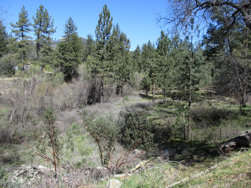 McCall Park TrailHiking · ~7 min drivePhoto: Ken Lund, CC BY-SA 2.0 (via Flickr)
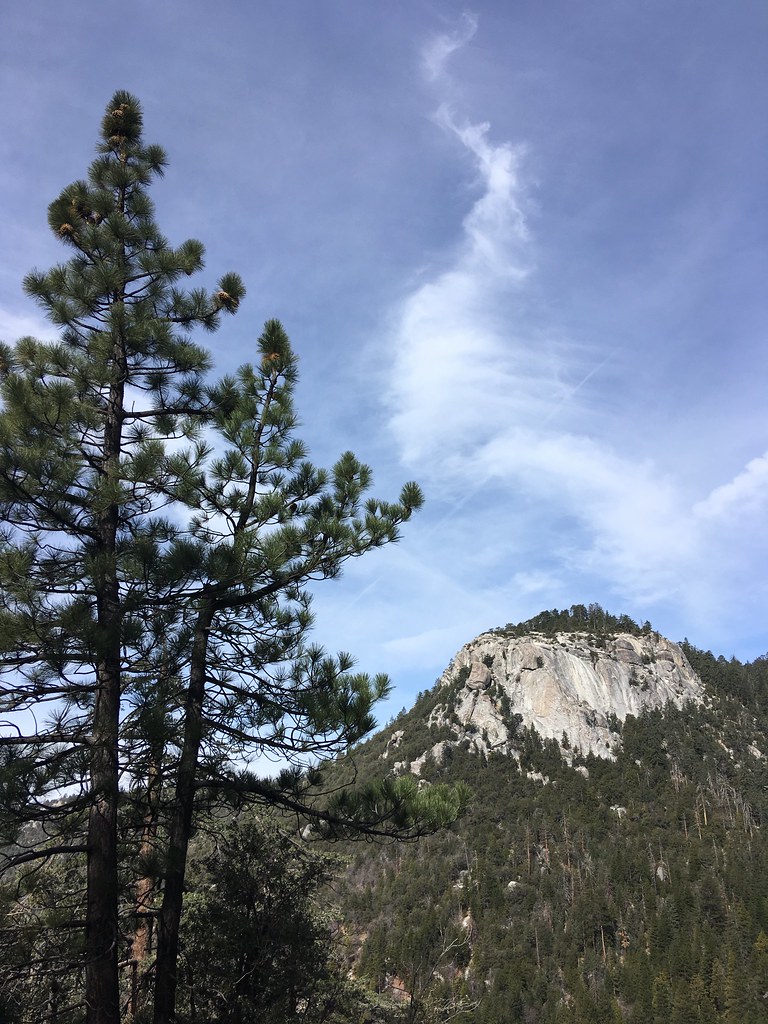 ClimbersHiking · ~8 min drivePhoto: sergei.gussev, CC BY 2.0 (via Flickr)
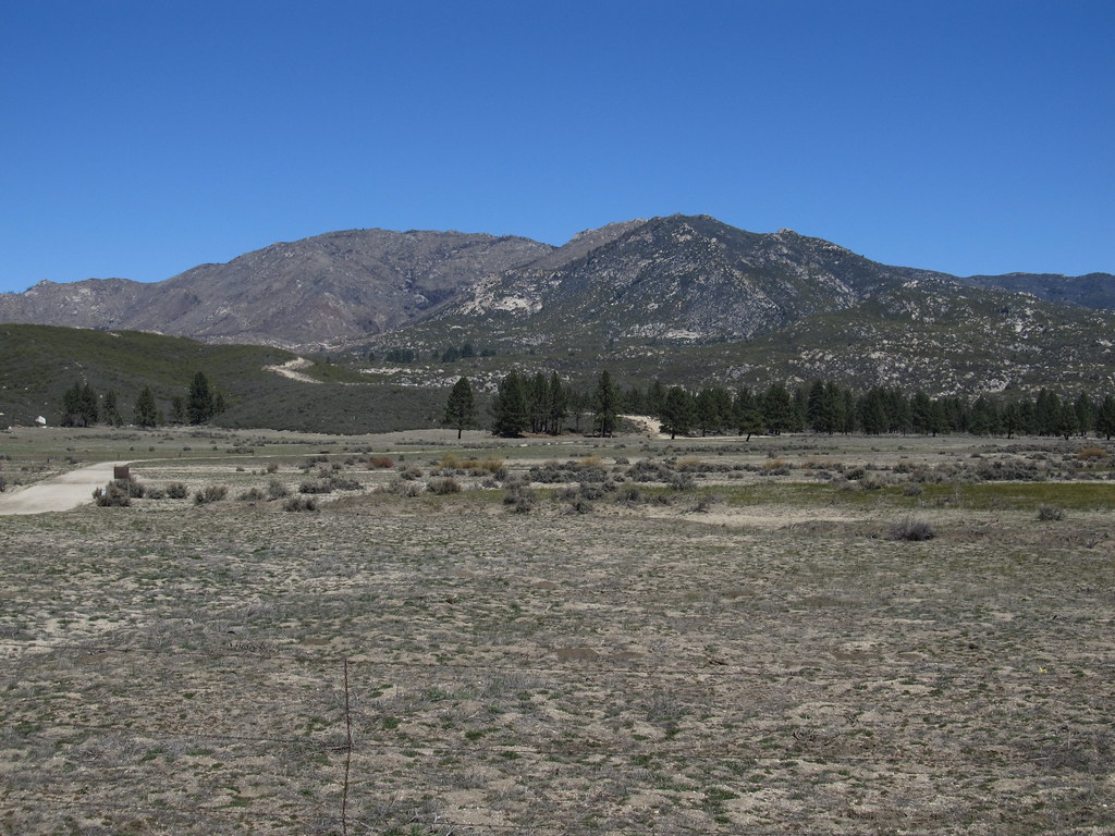 RamonaHiking · ~10 min drivePhoto: Ken Lund, CC BY-SA 2.0 (via Flickr)
Best months: April–July and September–November. Best months have typical highs of 55–85 °F, lows of 30 °F or warmer (32 °F where the station doesn't record snow), at most one snowy day and no more than 12 wet days.
Jan
55° / 31°
7 wet · 2 snow
Feb
54° / 30°
7 wet · 3 snow
Mar
59° / 32°
6 wet · 2 snow
Apr
64° / 35°
4 wet · 1 snow
May
71° / 41°
2 wet
Jun
80° / 48°
1 wet
Jul
85° / 55°
2 wet
Aug
86° / 55°
3 wet
Sep
81° / 50°
2 wet
Oct
72° / 42°
2 wet
Nov
62° / 35°
4 wet · 1 snow
Dec
54° / 30°
6 wet · 2 snow
Typical high / low (°F) and days with rain or snow, 1991–2020. Measured at Idyllwild Fire Dept, CA, 4.6 mi away at 5,380 ft. Source: NOAA NCEI U.S. Climate Normals 1991–2020.
Map and trail data © OpenStreetMap contributors

