RV with Hookups
Campground
Campground · 1.9 mi from the trail
 Photo: Rod, CC0 (via Wikimedia Commons)
Alert in the area
The Forest Service lists 2 alerts for San Bernardino National Forest.
Safety Alert - Falling Rocks at Bonita Falls
Agency alert covering San Bernardino National Forest · USFS · San Bernardino National Forest
Fire Restrictions
Agency alert covering San Bernardino National Forest · Order 05-12-00-26-05 · USFS · San Bernardino National Forest
As of · Source: USFS · San Bernardino National Forest. Agencies don't list every closure — check before you go.
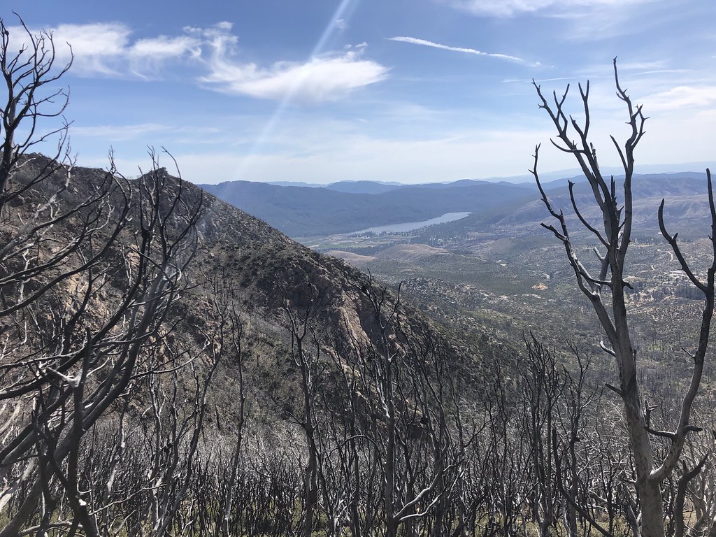
Pacific Crest Trail is a 19.36-mile route at Spitler Peak in California with 5,228 feet of elevation gain. The trail follows a point-to-point path on dirt surface within the Spitler Peak trail system.
RV with Hookups
Campground
 If it rainsToohool, CC0 · Wikimedia Commons
Cornelia White House
Museum
Places © OpenStreetMap contributors · Photos: Toohool, CC0 (commons)
More in Desert Hot SpringsNot on Roamze yet. Their page has how to reach them.
PCT Section 35Mountain biking · ~4 min drivePhoto: Rod, CC0 (via Wikimedia Commons) Santa Ana River TrailMountain biking · ~55 min drivePhoto: Basar, CC BY-SA 3.0 (via Wikimedia Commons)Cedar SpringsMountain biking · ~6 min drivePhoto: Rod, CC0 (via Wikimedia Commons)
 Little Tahquitz ValleyMountain biking · ~8 min drivePhoto: inkknife_2000 (7.5 million views +), CC BY-SA 2.0 (via Wikimedia Commons)
 PCT Section 30Mountain biking · ~9 min drivePhoto: inkknife_2000 (7.5 million views +), CC BY-SA 2.0 (via Wikimedia Commons)
 CarambaMountain biking · ~9 min drivePhoto: inkknife_2000 (7.5 million views +), CC BY-SA 2.0 (via Wikimedia Commons)Skunk CabbageMountain biking · ~9 min drivePhoto: inkknife_2000 (7.5 million views +), CC BY-SA 2.0 (via Wikimedia Commons)
 Ernie Maxwell Scenic TrailMountain biking · ~9 min drivePhoto: Benjamin Crowell, CC BY-SA 4.0 (via Wikimedia Commons)CedarMountain biking · ~10 min drivePhoto: inkknife_2000 (7.5 million views +), CC BY-SA 2.0 (via Wikimedia Commons)Willow CreekMountain biking · ~10 min drivePhoto: inkknife_2000 (7.5 million views +), CC BY-SA 2.0 (via Wikimedia Commons)
Map and trail data © OpenStreetMap contributors