South Ridge Yellow Post #3
Campground
Campground · 0.5 mi from the trail
 Photo: sergei.gussev, CC BY 2.0 (via Flickr)
Alert in the area
The Forest Service lists 2 alerts for San Bernardino National Forest.
Safety Alert - Falling Rocks at Bonita Falls
Agency alert covering San Bernardino National Forest · USFS · San Bernardino National Forest
Fire Restrictions
Agency alert covering San Bernardino National Forest · Order 05-12-00-26-05 · USFS · San Bernardino National Forest
As of · Source: USFS · San Bernardino National Forest. Agencies don't list every closure — check before you go.
Sunrise Trail is a short, easy out-and-back hike in the San Jacinto Ranger District of San Bernardino National Forest in California, managed by the Forest Service. The trail is about a mile long, with a total elevation gain of about 250 feet, and it starts at roughly 5,630 feet, reaching a high point of about 5,824 feet before returning to the start. The climb is front-loaded, with the steepest stretch at the beginning, where the grade reaches about 9 percent. The trail is quick to complete, with an estimated half hour on foot, and it makes an easy addition to a day spent exploring the surrounding area. Spring and fall are the most comfortable times to go. Typical averages from a nearby weather station in Idyllwild show May highs around 71°F and October highs around 72°F, while July and August average in the mid-80s. That station sits a few hundred feet lower than the trail, so temperatures on the trail run a little cooler. Sunset Trail lies just 0.1 mile away, and Ridgeline Trail is about half a mile off. Climbers can head to Family & Friends Boulders, about 0.9 mile away, and the San Jacinto - Santa Rosa Mountains Recreation Area is about 1.2 miles away.
South Ridge Yellow Post #3
Campground
 If it rainsVisitor7, CC BY-SA 3.0 · Wikimedia Commons
Places © OpenStreetMap contributors, Places © Overture Maps Foundation · Photos: Visitor7, CC BY-SA 3.0 (commons)
More in Desert Hot SpringsNot on Roamze yet. Their page has how to reach them.
Sunset TrailHikingPhoto: sergei.gussev, CC BY 2.0 (via Flickr)0.1 mi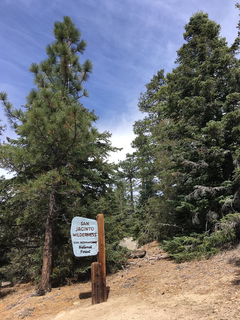 Ridgeline TrailHikingPhoto: sergei.gussev, CC BY 2.0 (via Flickr)0.5 mi
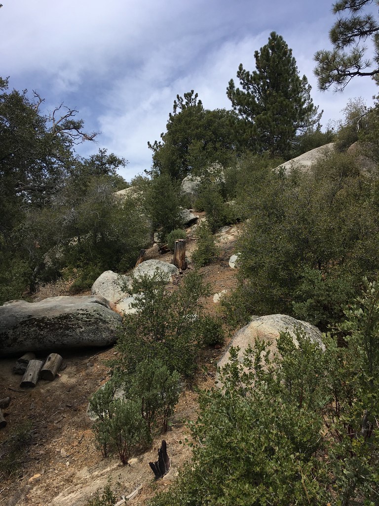 Family & Friends BouldersRock climbingPhoto: sergei.gussev, CC BY 2.0 (via Flickr)0.9 miElephant Man BoulderRock climbingPhoto: sergei.gussev, CC BY 2.0 (via Flickr)0.9 mi
Source: Roamze catalog (indexable pages within 10 miles, PostGIS distance)
Ridgeline TrailHiking · Next doorPhoto: sergei.gussev, CC BY 2.0 (via Flickr) Southridge FugaweeHiking · Next doorPhoto: sergei.gussev, CC BY 2.0 (via Flickr)LOWER SOUTH RIDGEHiking · ~2 min drivePhoto: sergei.gussev, CC BY 2.0 (via Flickr)
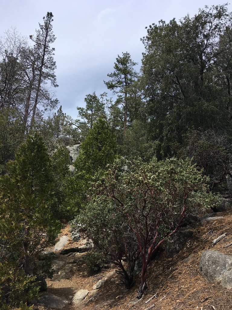 Summit TrailHiking · ~2 min drivePhoto: sergei.gussev, CC BY 2.0 (via Flickr)
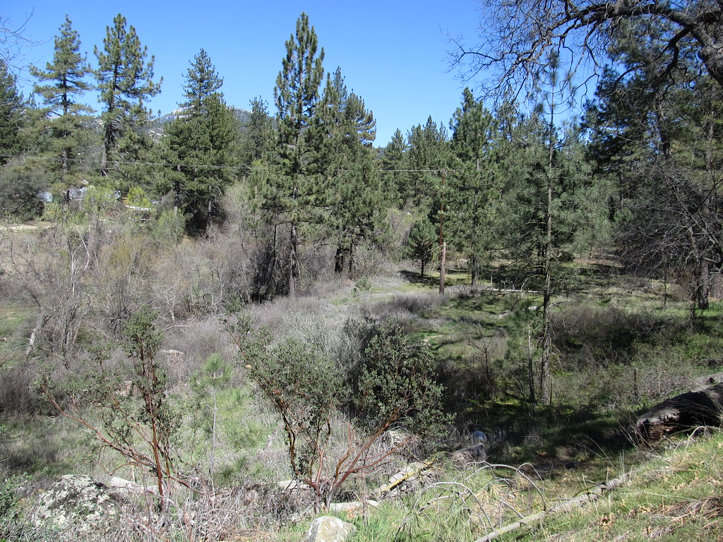 Chalk Hill TrailHiking · ~2 min drivePhoto: Ken Lund, CC BY-SA 2.0 (via Flickr)South RidgeHiking · ~2 min drivePhoto: sergei.gussev, CC BY 2.0 (via Flickr)Hillside TrailHiking · ~2 min drivePhoto: sergei.gussev, CC BY 2.0 (via Flickr)McCall Park TrailHiking · ~2 min drivePhoto: Ken Lund, CC BY-SA 2.0 (via Flickr)
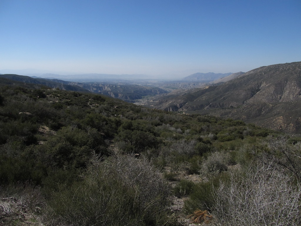 South ForkHiking · ~6 min drivePhoto: Ken Lund, CC BY-SA 2.0 (via Flickr)
 Ernie Maxwell Scenic TrailHiking · ~5 min drivePhoto: atramos, CC BY 2.0 (via Flickr)
Best months: April–July and September–November. Best months have typical highs of 55–85 °F, lows of 30 °F or warmer (32 °F where the station doesn't record snow), at most one snowy day and no more than 12 wet days.
Jan
55° / 31°
7 wet · 2 snow
Feb
54° / 30°
7 wet · 3 snow
Mar
59° / 32°
6 wet · 2 snow
Apr
64° / 35°
4 wet · 1 snow
May
71° / 41°
2 wet
Jun
80° / 48°
1 wet
Jul
85° / 55°
2 wet
Aug
86° / 55°
3 wet
Sep
81° / 50°
2 wet
Oct
72° / 42°
2 wet
Nov
62° / 35°
4 wet · 1 snow
Dec
54° / 30°
6 wet · 2 snow
Typical high / low (°F) and days with rain or snow, 1991–2020. Measured at Idyllwild Fire Dept, CA, 1.9 mi away at 5,380 ft. Source: NOAA NCEI U.S. Climate Normals 1991–2020.
Map and trail data © OpenStreetMap contributors
