New Camp
Campground
Campground · 2.5 mi from the trail
Meccacopia Truck Trail is an easy, out-and-back hike in California's Meccacopia area, about 2 miles from the small community of Mortmar. The route is short, at roughly 2.7 miles round trip, and the climb is gentle, with a total elevation gain of about 380 feet and a peak of 282 feet. The trail starts at that high point, so you're heading down from the top rather than up. The most comfortable time to go is winter and early spring. A nearby weather station records typical averages of highs around 70°F in January and 81°F in March, while summer highs there average in the 100s. That station sits about 180 feet below the trail, so temperatures on the route run a bit cooler. The trip takes about an hour, and the trail's short length and low elevation make it a quick outing. For more hiking nearby, San Andres Trail lies about 4 miles away, and Ropes Canyon (Hard), Ladder Canyon (Medium) and Canyon (Easy) are each within about 8 miles.
New Camp
Campground
Places © OpenStreetMap contributors, Places © Overture Maps Foundation
More in CoachellaNot on Roamze yet. Their page has how to reach them.
 Ropes Canyon (Hard)HikingPhoto: theforestprimeval, CC BY-SA 2.0 (via Flickr)7.9 mi
 CanyonHikingPhoto: GSEC, CC BY 2.0 (via Flickr)8 mi
 Ladder Canyon (Medium)HikingPhoto: GSEC, CC BY 2.0 (via Flickr)8 mi
 RidgeHikingPhoto: GSEC, CC BY 2.0 (via Flickr)8.3 mi
 small canyon -unconfirmed-HikingPhoto: Chris Hunkeler, CC BY-SA 2.0 (via Flickr)8.3 mi
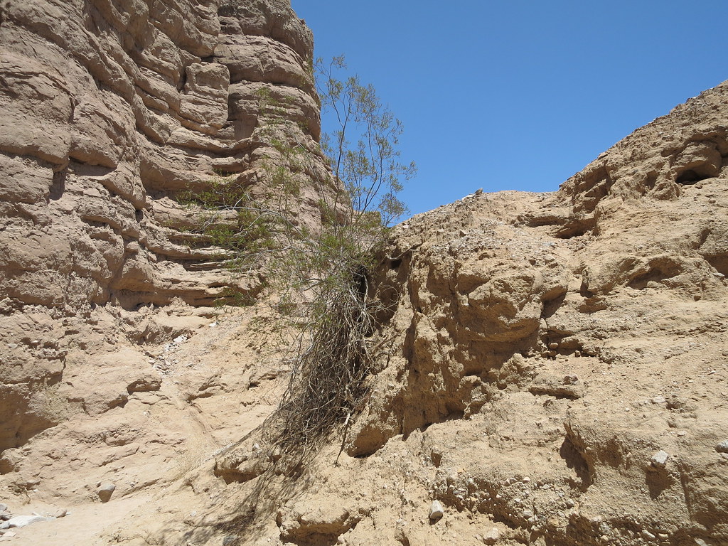 Canyon (Easy)HikingPhoto: Chris Hunkeler, CC BY-SA 2.0 (via Flickr)8.5 mi
Source: Roamze catalog (indexable pages within 10 miles, PostGIS distance)
Ropes Canyon (Hard)Hiking · ~14 min drivePhoto: theforestprimeval, CC BY-SA 2.0 (via Flickr)RidgeHiking · ~14 min drivePhoto: GSEC, CC BY 2.0 (via Flickr) Tectonic Gorge TrailHiking · ~34 min drivePhoto: RuggyBearLA, CC BY 2.0 (via Flickr)
 Villager Peak TrailHiking · ~40 min drivePhoto: npdoty, CC BY 2.0 (via Flickr)CanyonHiking · ~14 min drivePhoto: GSEC, CC BY 2.0 (via Flickr)
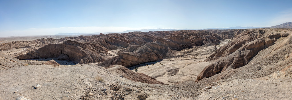 Truckhaven TrailHiking · ~34 min drivePhoto: RuggyBearLA, CC BY 2.0 (via Flickr)
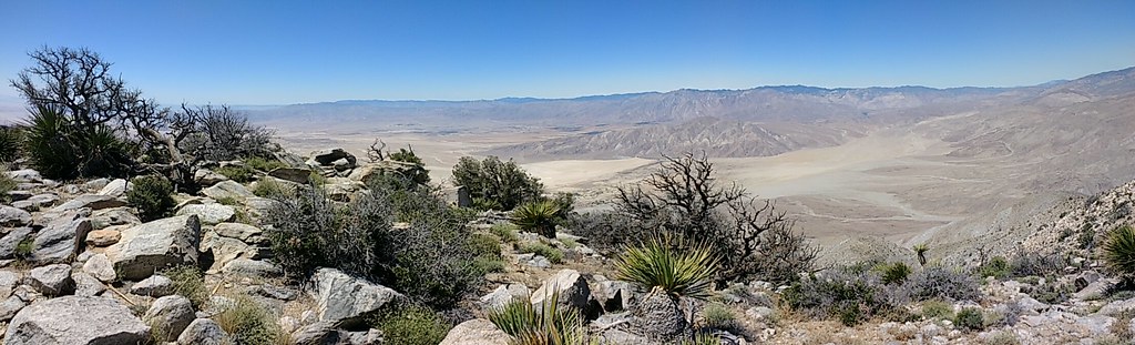 Rabbit Peak TrailHiking · ~36 min drivePhoto: Chris Hunkeler, CC BY-SA 2.0 (via Flickr)Ladder Canyon (Medium)Hiking · ~14 min drivePhoto: GSEC, CC BY 2.0 (via Flickr)
Also worth it near here
 Pinto BasinRock climbing · ~24 min drivePhoto: aboutmytripdotcom, CC BY 2.0 (via Flickr)
 Cottonwood CampgroundCamping · ~26 min drivePhoto: Robb Hannawacker, while working for Joshua Tree National Park, Public domain (via Wikimedia Commons)
Best months: November–March. Best months have typical highs of 55–85 °F, lows of 30 °F or warmer (32 °F where the station doesn't record snow), at most one snowy day and no more than 12 wet days.
Jan
70° / 44°
Feb
74° / 47°
Mar
81° / 54°
Apr
87° / 59°
May
95° / 66°
Jun
102° / 72°
Jul
107° / 80°
Aug
106° / 80°
Sep
102° / 74°
Oct
91° / 62°
Nov
78° / 50°
Dec
69° / 42°
Typical high / low (°F) and days with rain or snow, 1991–2020. Measured at Mecca Fire Stn, CA, 10 mi away at -183 ft. Source: NOAA NCEI U.S. Climate Normals 1991–2020.
Map and trail data © OpenStreetMap contributors
