Skylight View Trail
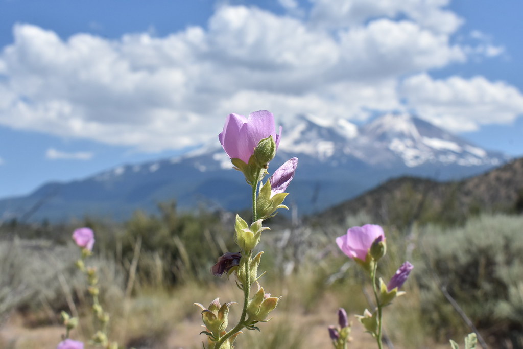 Photo: theforestprimeval, CC BY-SA 2.0 (via Flickr)
- 0.8 mi
- round trip
- 137 ft
- climb
- 3,374 ft
- high point
- Out and back
- route
- Apr–Oct
- best months
Caution today
Agency alerts are in effect for this area; weather is good · USFS, OpenWeather · checked 8 h ago
Is Skylight View Trail open right now?
Alert in the area
The Forest Service lists 2 alerts for Klamath National Forest.
Temporarily closure of approximately 3.5 miles of National Forest System Roads 47N01
Agency alert covering Klamath National Forest · Order 05-05-00-26-08 · USFS · Klamath National Forest
Grayback Road Repairs
Agency alert covering Klamath National Forest · USFS · Klamath National Forest
As of · Source: USFS · Klamath National Forest. Agencies don't list every closure — check before you go.
Skylight View Trail is a short, easy hike in the Goosenest Ranger District of Klamath National Forest in northern California, managed by the Forest Service. The trail is an out-and-back of about 1.6 miles with a total elevation gain of 137 feet, so it works well as a quick stop or as the first leg of a longer day in the forest. The trail starts and ends at roughly 3,374 feet, with the highest point at 3,374 feet and the lowest at 3,327 feet, and the route is mostly flat. The steepest stretch comes near the start, with a grade of about 4 percent over about 0.13 miles. Summer and early fall are the most comfortable times to go. Typical averages from the nearby Mt Shasta weather station show July and August highs around 85°F with only about two wet days a month, while winter brings highs in the mid-40s and about 12 to 13 wet days. Several other hikes lie within about 8 miles, including Bolam at 6.4 miles, Coquette and Deer Mtn Short Loop at 7.3 miles, and Black Lava at 7.5 miles.
Local outfitters
- Ashland Family YMCA49 mi away
- Momentum River Expeditions49 mi away
Not on Roamze yet. Their page has how to reach them.
- BolamHiking6.4 mi
- CoquetteHiking7.3 mi
- DEER MTN SHORT LOOPHiking7.3 mi
 Black LavaHikingPhoto: npdoty, CC BY 2.0 (via Flickr)7.5 mi
- DEER MTN LONG LOOPHiking7.8 mi
- SHINGLE SPRINGS LOOPHiking8.2 mi
- Hotlum Bolum RidgeHiking8.9 mi
- InconstanceHiking9.5 mi
Source: Roamze catalog (indexable pages within 10 miles, PostGIS distance)
- Black LavaHiking · ~13 min drivePhoto: npdoty, CC BY 2.0 (via Flickr)
 Goosenest (from quarry) TrailHiking · ~18 min drivePhoto: theforestprimeval, CC BY-SA 2.0 (via Flickr)
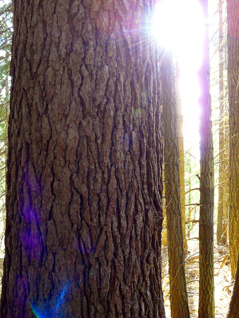 Muirs AscensionHiking · ~28 min drivePhoto: deanetr, CC BY 2.0 (via Flickr)
- Hotlum Bolum RidgeHiking · ~15 min drive
- Goosenest TrailHiking · ~19 min drivePhoto: theforestprimeval, CC BY-SA 2.0 (via Flickr)
 Horse Camp Trail (Sisson's Trail) NO DOGSHiking · ~24 min drivePhoto: wikiphotographer, CC BY-SA 2.0 (via Flickr)
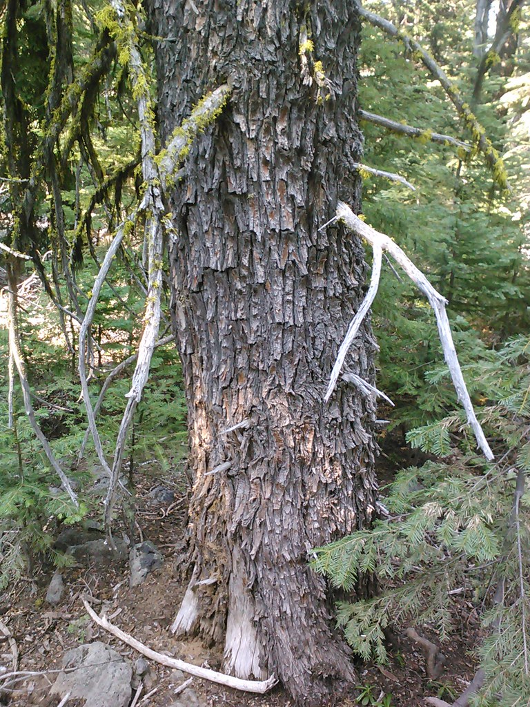 Goosenest TrailHiking · ~21 min drivePhoto: theforestprimeval, CC BY-SA 2.0 (via Flickr)
- Sisson's TrailHiking · ~25 min drivePhoto: deanetr, CC BY 2.0 (via Flickr)
- Sisson's TrailHiking · ~24 min drivePhoto: deanetr, CC BY 2.0 (via Flickr)
- DEER MTN LONG LOOPHiking · ~13 min drive
Best time to visit Skylight View Trail
Best months: April–October. Best months have typical highs of 55–85 °F, lows of 30 °F or warmer (32 °F where the station doesn't record snow), at most one snowy day and no more than 12 wet days.
Jan
44° / 29°
12 wet
Feb
47° / 29°
12 wet
Mar
53° / 32°
13 wet
Apr
59° / 35°
11 wet
May
69° / 41°
8 wet
Jun
76° / 47°
4 wet
Jul
85° / 52°
2 wet
Aug
85° / 50°
2 wet
Sep
78° / 45°
3 wet
Oct
65° / 37°
6 wet
Nov
51° / 31°
10 wet
Dec
42° / 28°
13 wet
Typical high / low (°F) and days with rain or snow, 1991–2020. Measured at Mt Shasta, CA, 16.5 mi away at 3,535 ft. This station doesn't record snowfall. Source: NOAA NCEI U.S. Climate Normals 1991–2020.

Map and trail data © OpenStreetMap contributors
