Inconstance
- 1.7 mi
- round trip
- 340 ft
- climb
- 7,125 ft
- high point
- Out and back
- route
Is Inconstance open right now?
Closure in the area
There's a closure order in Shasta-Trinity National Forest. It doesn't name Inconstance, so check the source for the area it covers (2 listed).
Mud and Ash Creek Area and Road Closure
Agency closure covering Shasta-Trinity National Forest · Order 14-26-13 · USFS · Shasta-Trinity National Forest
Road Closure on Wild Mad Road
Agency closure covering Shasta-Trinity National Forest · Order 14-25-09 · USFS · Shasta-Trinity National Forest
Bailey Cove Road Closure Order
Agency alert covering Shasta-Trinity National Forest · Order 14-25-11 · USFS · Shasta-Trinity National Forest
Trout Creek Bridge Closure Order
Agency alert covering Shasta-Trinity National Forest · Order 14-26-02 · USFS · Shasta-Trinity National Forest
South Fork Suspension Bridge Closure
Agency alert covering Shasta-Trinity National Forest · Order 14-25-30 · USFS · Shasta-Trinity National Forest
As of · Source: USFS · Shasta-Trinity National Forest. Agencies don't list every closure — check before you go.
Inconstance is an easy out-and-back hike in the Mt. Shasta Ranger District of the Shasta-Trinity National Forest in California, about 1.7 miles long with a 340-foot elevation gain from a low of 6,775 feet to a high of 7,125 feet. The trail is natural-surface and open year round, and the Forest Service manages the land. The trail is short and low, so it makes an easy add-on to a day spent exploring the surrounding area. Hotlum Bolum Ridge lies about 0.7 miles away, and BREWER CREEK is roughly 2.7 miles off. Panther Meadows Campground, about 7.9 miles away, offers a place to stay nearby, and Mount Shasta, about 8.6 miles away, draws climbers and mountaineers.
Keep exploring — more trails worth the drive
 Photo: davidwilson1949, CC BY 2.0 (via Flickr)
South Gate Trail
~12 min drive
0.62-mile out-and-back trail in California with 312 ft elevation gain
 Photo: Moo.The.Cow, CC BY 2.0 (via Flickr)
Green Butte
~13 min drive
Green Butte is a 4.13-mile out-and-back trail in California with 1,798 feet of elevation gain.
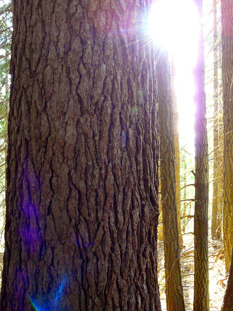 Photo: deanetr, CC BY 2.0 (via Flickr)
Muirs Ascension
~18 min drive
Moderate 6.37-mile climb with 1,503 ft elevation gain.
HIKE
Hotlum Bolum Ridge
~1 min drive
11.84-mile out-and-back trail in California with 7,175 ft of elevation gain.
 Photo: Moo.The.Cow, CC BY 2.0 (via Flickr)
South Gate Meadows Trail (Stewart Trail)
~12 min drive
1.5-mile out-and-back hike in California with 688 ft gain
 Photo: wikiphotographer, CC BY-SA 2.0 (via Flickr)
Horse Camp Trail (Sisson's Trail) NO DOGS
~13 min drive
0.98-mile out-and-back trail in California with 684 ft gain and 7,895 ft max elevation.
HIKE
Clear Creek Climbing Route (Stewart Trail)
~9 min drive
4.66-mile out-and-back climb in California with 5,223 ft gain/loss and 13,967 ft max elevation
HIKE
SUPRISE LAKE
~14 min drive
18.28-mile out-and-back trail in California with 2,781 ft elevation gain
 Photo: Pacific Southwest Region 5, Public domain (via Wikimedia Commons)
South Gate Meadow Trail (Stewart Trail)
~13 min drive
2.1-mile out-and-back hike in California with 742 ft elevation gain and loss.
Photo: davidwilson1949, CC BY 2.0 (via Flickr)RED FIR RIDGE
~13 min drive
4.26-mile out-and-back trail in California with 1,269 ft elevation gain and loss.

