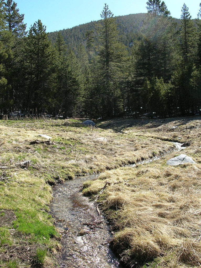
Upper Chinquapin
Campground
Campground · 1.9 mi from the trail
 Photo: Rick McCharles, CC BY 2.0 (via Flickr)
Caution at last check
Agency alerts are in effect for this area; weather is good · USFS, OpenWeather · checked 22 h ago
Alert in the area
The Forest Service lists 2 alerts for San Bernardino National Forest.
Safety Alert - Falling Rocks at Bonita Falls
Agency alert covering San Bernardino National Forest · USFS · San Bernardino National Forest
Fire Restrictions
Agency alert covering San Bernardino National Forest · Order 05-12-00-26-05 · USFS · San Bernardino National Forest
As of · Source: USFS · San Bernardino National Forest. Agencies don't list every closure — check before you go.
Skunk Cabbage is an easy out-and-back hike in the San Jacinto Wilderness, part of the San Jacinto Ranger District of San Bernardino National Forest in California. The route is short, about 1.2 miles round trip, and rises roughly 75 feet from the low point at 7,887 feet to the high point at 7,981 feet. The trail is natural-surfaced. The Forest Service manages the land, and the surrounding wilderness makes this a compact outing within the backcountry. The climb is gentle, so the hike works well as a brief stop on the way to other destinations in the area. Several other places sit within about half a mile. Willow Creek Trail and Kings Trail are both about 0.4 miles away, and Satellite Boulders and Little Tahquitz Valley are each about 0.5 miles off.
Upper Chinquapin
Campground
 If it rainsVisitor7, CC BY-SA 3.0 · Wikimedia Commons
Places © OpenStreetMap contributors · Photos: Visitor7, CC BY-SA 3.0 (commons)
More in Desert Hot SpringsNot on Roamze yet. Their page has how to reach them.
Willow Creek TrailRock climbingPhoto: Rick McCharles, CC BY 2.0 (via Flickr)0.4 mi Kings TrailHikingPhoto: inkknife_2000 (7.5 million views +), CC BY-SA 2.0 (via Wikimedia Commons)0.4 mi
 Little Tahquitz ValleyHikingPhoto: inkknife_2000 (7.5 million views +), CC BY-SA 2.0 (via Wikimedia Commons)0.5 mi
 Black Mountain (san Bernardino)CampingPhoto: Recreation.gov (RIDB) / public domain5.8 mi
Source: Roamze catalog (indexable pages within 10 miles, PostGIS distance)
Kings TrailHiking · Next doorPhoto: inkknife_2000 (7.5 million views +), CC BY-SA 2.0 (via Wikimedia Commons)CarambaHiking · Next doorPhoto: inkknife_2000 (7.5 million views +), CC BY-SA 2.0 (via Wikimedia Commons) CedarHiking · ~2 min drivePhoto: bossco, CC BY-SA 2.0 (via Flickr)
 Devil's SlideHiking · ~3 min drivePhoto: atramos, CC BY 2.0 (via Flickr)Peak TrailHiking · ~4 min drivePhoto: inkknife_2000 (7.5 million views +), CC BY-SA 2.0 (via Wikimedia Commons)
 High TrailHiking · ~3 min drivePhoto: Vadim Manuylov, CC BY-SA 3.0 (via Wikimedia Commons)Ernie Maxwell Scenic TrailHiking · ~3 min drivePhoto: atramos, CC BY 2.0 (via Flickr)
 Deer Springs TrailHiking · ~4 min drivePhoto: inkknife_2000 (7.5 million views +), CC BY-SA 2.0 (via Wikimedia Commons)
 Suicide RockHiking · ~3 min drivePhoto: sergei.gussev, CC BY 2.0 (via Flickr)
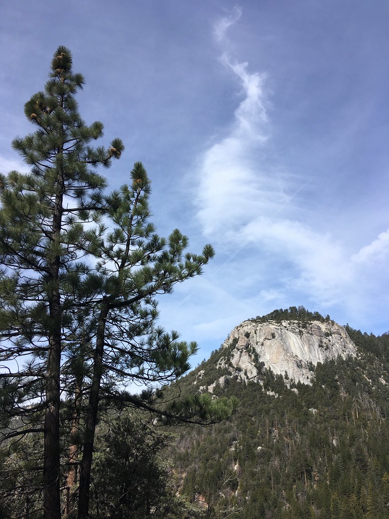 ClimbersHiking · ~3 min drivePhoto: sergei.gussev, CC BY 2.0 (via Flickr)
Also worth it near here