Red Tail
Campground
Campground · 1.3 mi from the trail
 Photo: bossco, CC BY-SA 2.0 (via Flickr)
Alert in the area
The Forest Service lists 2 alerts for San Bernardino National Forest.
Safety Alert - Falling Rocks at Bonita Falls
Agency alert covering San Bernardino National Forest · USFS · San Bernardino National Forest
Fire Restrictions
Agency alert covering San Bernardino National Forest · Order 05-12-00-26-05 · USFS · San Bernardino National Forest
As of · Source: USFS · San Bernardino National Forest. Agencies don't list every closure — check before you go.
Cedar is an easy out-and-back hike of about 2 miles in the San Jacinto Wilderness, part of the San Jacinto Ranger District of San Bernardino National Forest in California. The trail rises about 470 feet from a low point near 7,417 feet to a high point of about 7,892 feet, and the surface is natural. The hike sits within designated wilderness, and the Forest Service manages the land. Kings Trail lies about half a mile away, and Skunk Cabbage is about a mile off, so it pairs easily with either of those routes. Climbers can head to Satellite Boulders, roughly 1.4 miles away, and Fern Basin campground is about 5 miles out.
Red Tail
Campground
 If it rainsVisitor7, CC BY-SA 3.0 · Wikimedia Commons
Places © OpenStreetMap contributors · Photos: Visitor7, CC BY-SA 3.0 (commons)
More in Desert Hot SpringsNot on Roamze yet. Their page has how to reach them.
 Kings TrailHikingPhoto: inkknife_2000 (7.5 million views +), CC BY-SA 2.0 (via Wikimedia Commons)0.6 mi
 Skunk CabbageHikingPhoto: Rick McCharles, CC BY 2.0 (via Flickr)1 miWillow Creek TrailRock climbingPhoto: Rick McCharles, CC BY 2.0 (via Flickr)1.4 mi
 Black Mountain (san Bernardino)CampingPhoto: Recreation.gov (RIDB) / public domain5.9 mi
Source: Roamze catalog (indexable pages within 10 miles, PostGIS distance)
Kings TrailHiking · ~1 min drivePhoto: inkknife_2000 (7.5 million views +), CC BY-SA 2.0 (via Wikimedia Commons) High TrailHiking · ~2 min drivePhoto: Vadim Manuylov, CC BY-SA 3.0 (via Wikimedia Commons)
 CarambaHiking · ~2 min drivePhoto: inkknife_2000 (7.5 million views +), CC BY-SA 2.0 (via Wikimedia Commons)
 Wellman's Cienaga TrailHiking · ~3 min drivePhoto: HikingMike, CC BY 2.0 (via Flickr)Tamarack Valley TrailHiking · ~3 min drivePhoto: Vadim Manuylov, CC BY-SA 3.0 (via Wikimedia Commons)
 Round Valley TrailHiking · ~3 min drivePhoto: Raymond Shobe from Palm Springs, CA, CC BY 2.0 (via Wikimedia Commons)
 Devil's SlideHiking · ~4 min drivePhoto: atramos, CC BY 2.0 (via Flickr)Desert View TrailHiking · ~3 min drivePhoto: Raymond Shobe from Palm Springs, CA, CC BY 2.0 (via Wikimedia Commons)Peak TrailHiking · ~4 min drivePhoto: inkknife_2000 (7.5 million views +), CC BY-SA 2.0 (via Wikimedia Commons)Ernie Maxwell Scenic TrailHiking · ~4 min drivePhoto: atramos, CC BY 2.0 (via Flickr)
Also worth it near here
 Willow CreekMountain biking · ~1 min drivePhoto: inkknife_2000 (7.5 million views +), CC BY-SA 2.0 (via Wikimedia Commons)Willow Creek TrailRock climbing · ~2 min drivePhoto: Rick McCharles, CC BY 2.0 (via Flickr)
 San Jacinto PeakSummit · ~4 min drivePhoto: Wattewyl, CC BY 3.0 (via Wikimedia Commons)
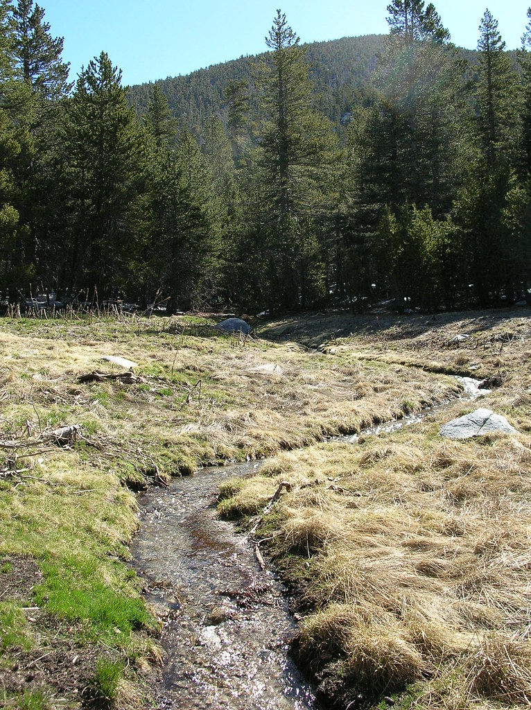 Little Round ValleyCamping · ~4 min drivePhoto: HikingMike — CC BY 2.0 (via Flickr)
