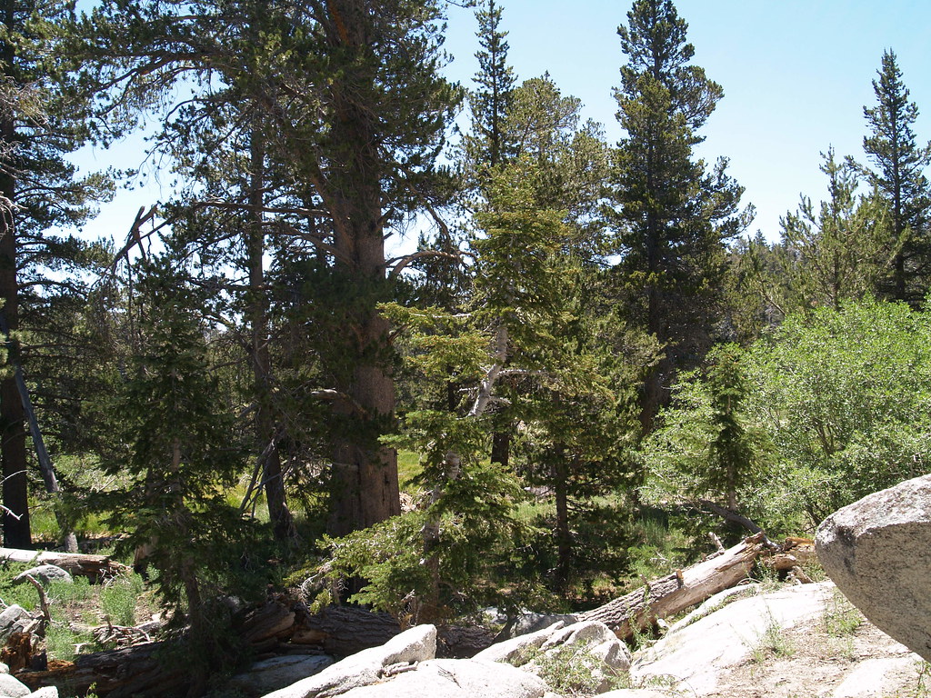
Little Round Valley
Campground
Campground · 0.9 mi from the trail
 Photo: inkknife_2000 (7.5 million views +), CC BY-SA 2.0 (via Wikimedia Commons)
Alert in the area
The Forest Service lists 2 alerts for San Bernardino National Forest.
Safety Alert - Falling Rocks at Bonita Falls
Agency alert covering San Bernardino National Forest · USFS · San Bernardino National Forest
Fire Restrictions
Agency alert covering San Bernardino National Forest · Order 05-12-00-26-05 · USFS · San Bernardino National Forest
As of · Source: USFS · San Bernardino National Forest. Agencies don't list every closure — check before you go.
Deer Springs Trail is a hard hike in California's Mount San Jacinto State Park, within the San Jacinto Ranger District of San Bernardino National Forest. The trail is an out-and-back that starts at about 9,000 feet and climbs to roughly 10,600 feet, with a total elevation gain of about 2,400 feet over a round trip of about 4.8 miles. The steepest stretch comes early, around 0.8 miles in, with a grade of about 28 percent. The trail is managed by State Park and Recreation, and the trip takes about 3 hours. Plan for a full day, with time to rest and take in the high-country setting. Nearby, Peak Trail and Wellman's Cienaga Trail are both within about a mile and a half. Climbers can head to Marion Mountain Trail, and Fern Basin campground is about 2.4 miles away.
Little Round Valley
Campground
 If it rainsVisitor7, CC BY-SA 3.0 · Wikimedia Commons
Places © OpenStreetMap contributors, Places © Overture Maps Foundation · Photos: Visitor7, CC BY-SA 3.0 (commons)
More in Desert Hot SpringsNot on Roamze yet. Their page has how to reach them.
 Peak TrailHikingPhoto: inkknife_2000 (7.5 million views +), CC BY-SA 2.0 (via Wikimedia Commons)1.3 mi
 Wellman's Cienaga TrailHikingPhoto: HikingMike, CC BY 2.0 (via Flickr)1.4 mi
 Black Mountain (san Bernardino)CampingPhoto: Recreation.gov (RIDB) / public domain3.2 mi
Source: Roamze catalog (indexable pages within 10 miles, PostGIS distance)
 Deer Springs TrailHiking · ~2 min drivePhoto: HikingMike, CC BY 2.0 (via Flickr)
 Old Peak TrailHiking · ~3 min drivePhoto: Vadim Manuylov, CC BY-SA 3.0 (via Wikimedia Commons)
 Seven PinesHiking · ~4 min drivePhoto: inkknife_2000 (7.5 million views +), CC BY-SA 2.0 (via Wikimedia Commons)Wellman's Cienaga TrailHiking · ~2 min drivePhoto: HikingMike, CC BY 2.0 (via Flickr)CarambaHiking · ~4 min drivePhoto: inkknife_2000 (7.5 million views +), CC BY-SA 2.0 (via Wikimedia Commons)
 Suicide RockHiking · ~4 min drivePhoto: sergei.gussev, CC BY 2.0 (via Flickr)Marion MountainHiking · ~4 min drivePhoto: inkknife_2000 (7.5 million views +), CC BY-SA 2.0 (via Wikimedia Commons)
 Round Valley TrailHiking · ~6 min drivePhoto: Raymond Shobe from Palm Springs, CA, CC BY 2.0 (via Wikimedia Commons)Tamarack Valley TrailHiking · ~4 min drivePhoto: Vadim Manuylov, CC BY-SA 3.0 (via Wikimedia Commons)
 Willow CreekHiking · ~4 min drivePhoto: inkknife_2000 (7.5 million views +), CC BY-SA 2.0 (via Wikimedia Commons)
Map and trail data © OpenStreetMap contributors