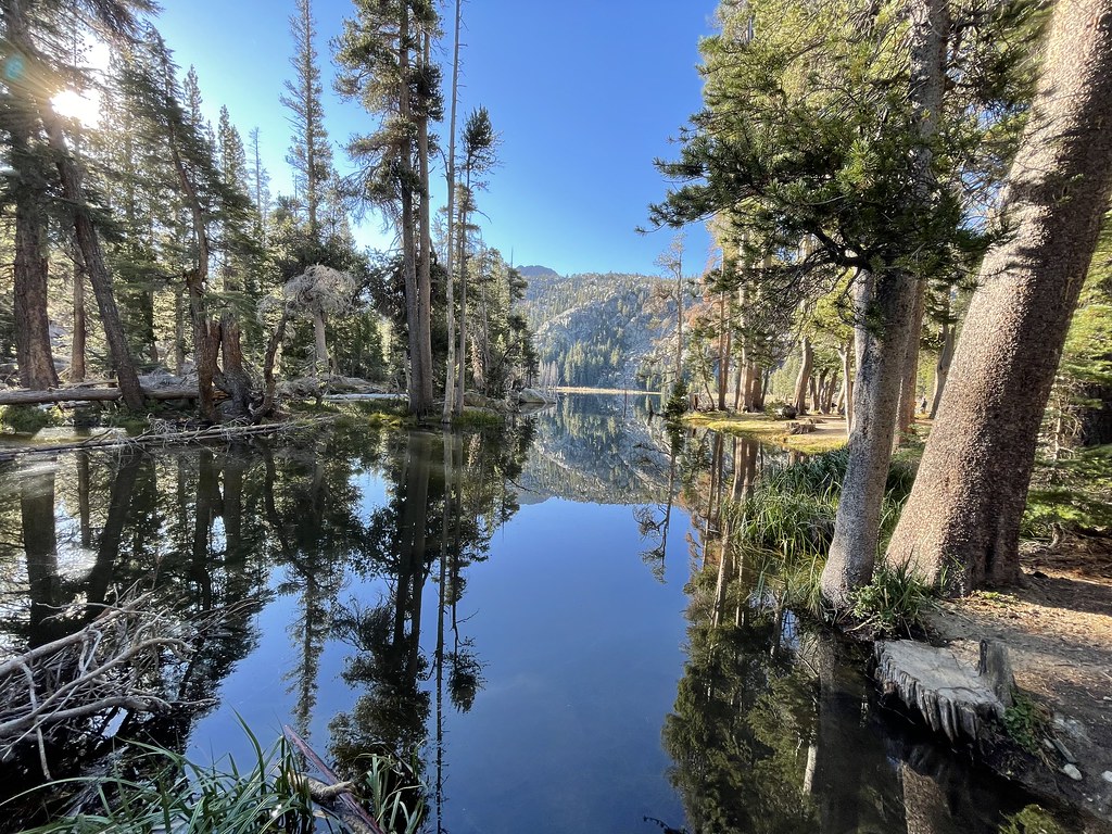
Showers Lake
Campground
Campground · 0.9 mi from the trail
 Photo: jfdervin, CC BY-SA 2.0 (via Flickr)
Alert in the area
The Forest Service lists 2 alerts for Eldorado National Forest.
Help Halt Golden Mussel Invasion
Agency alert covering Eldorado National Forest · USFS · Eldorado National Forest
Deer Valley Trail (19E01) & Meadow Lake Road (09N01)
Agency alert covering Eldorado National Forest · Order 03-24-05 · USFS · Eldorado National Forest
As of · Source: USFS · Eldorado National Forest. Agencies don't list every closure — check before you go.
Showers Lake Trail is a short, easy hike in California's Eldorado National Forest, within the Amador Ranger District. The trail is about 0.77 miles long and is an out-and-back route that reaches a high point of 9,238 feet. The climb is rolling, with a total gain of 794 feet over the course of the trip, and the steepest stretch comes at about 0.31 miles in, where the grade reaches 24 percent. The trail starts at roughly 9,131 feet and ends at about the same elevation, so the round trip is a little under 1.5 miles. The Forest Service manages the land, and the hike is a quick outing that fits easily into a day spent exploring the surrounding area. The trip takes about an hour, and the trail is open year-round. Nearby, Schneider Camp Trail and Schneider Corral are both within about a mile. Caples Lake Resort and Caples Lake Campground sit about 2.1 miles away, and Caples Lake offers climbing about 2.4 miles off.
Showers Lake
Campground
Kirkwood Inn
Restaurant
Alpine County Museum
Museum
Places © OpenStreetMap contributors
More in Bear ValleyNot on Roamze yet. Their page has how to reach them.
 Schneider Camp TrailHikingPhoto: jfdervin, CC BY-SA 2.0 (via Flickr)0.8 miSchneider CorralHikingPhoto: jfdervin, CC BY-SA 2.0 (via Flickr)1.1 mi
Source: Roamze catalog (indexable pages within 10 miles, PostGIS distance)
Schneider Camp TrailHiking · ~1 min drivePhoto: jfdervin, CC BY-SA 2.0 (via Flickr)Schneider CorralHiking · ~2 min drivePhoto: jfdervin, CC BY-SA 2.0 (via Flickr) Picket Fence TrailHiking · ~3 min drivePhoto: jfdervin, CC BY-SA 2.0 (via Flickr)Little Round Top TrailHiking · ~2 min drivePhoto: jfdervin, CC BY-SA 2.0 (via Flickr)
 Round Top LakeHiking · ~5 min drivePhoto: jfdervin, CC BY-SA 2.0 (via Flickr)
 Emigrant LakeHiking · ~4 min drivePhoto: Ken Lund, CC BY-SA 2.0 (via Flickr)
 Pacific Crest TrailHiking · ~2 min drivePhoto: jfdervin, CC BY-SA 2.0 (via Flickr)Winnemucca TrailHiking · ~5 min drivePhoto: jfdervin, CC BY-SA 2.0 (via Flickr)
 Thunder Mountain LoopHiking · ~7 min drivePhoto: Ken Lund, CC BY-SA 2.0 (via Flickr)
 Buck Pasture TrailHiking · ~3 min drivePhoto: ray_explores, CC BY 2.0 (via Flickr)
Map and trail data © OpenStreetMap contributors

