Showers Lake
Campground
Campground · 1.5 mi from the trail
 Photo: jfdervin, CC BY-SA 2.0 (via Flickr)
Alert in the area
The Forest Service lists 2 alerts for Eldorado National Forest.
Help Halt Golden Mussel Invasion
Agency alert covering Eldorado National Forest · USFS · Eldorado National Forest
Deer Valley Trail (19E01) & Meadow Lake Road (09N01)
Agency alert covering Eldorado National Forest · Order 03-24-05 · USFS · Eldorado National Forest
As of · Source: USFS · Eldorado National Forest. Agencies don't list every closure — check before you go.
Little Round Top Trail is a 6-mile out-and-back hike in California's Eldorado National Forest, within the Amador Ranger District. The trail starts at about 8,439 feet and climbs to a high point of 9,081 feet, with a total gain of 1,662 feet over the course of the round trip. The climb is front-loaded, with the steepest stretch at the start, where the grade reaches about 16 percent. The trail is rated moderate. The Forest Service manages the land, and the trip takes about three hours. The trailhead sits close to Schneider Camp, a cross-country ski area about 0.1 mile away, and the Schneider Camp Trail lies about 0.4 mile off. Caples Lake Campground and Caples Lake Resort are both within about 1.7 miles.
Showers Lake
Campground
Kirkwood Inn
Restaurant
Baldwin Home
Museum
Places © OpenStreetMap contributors
More in Bear ValleyNot on Roamze yet. Their page has how to reach them.
Schneider Camp TrailHikingPhoto: jfdervin, CC BY-SA 2.0 (via Flickr)0.4 miSource: Roamze catalog (indexable pages within 10 miles, PostGIS distance)
Schneider Camp TrailHiking · Next doorPhoto: jfdervin, CC BY-SA 2.0 (via Flickr)Schneider CorralHiking · Next doorPhoto: jfdervin, CC BY-SA 2.0 (via Flickr) Picket Fence TrailHiking · ~3 min drivePhoto: jfdervin, CC BY-SA 2.0 (via Flickr)
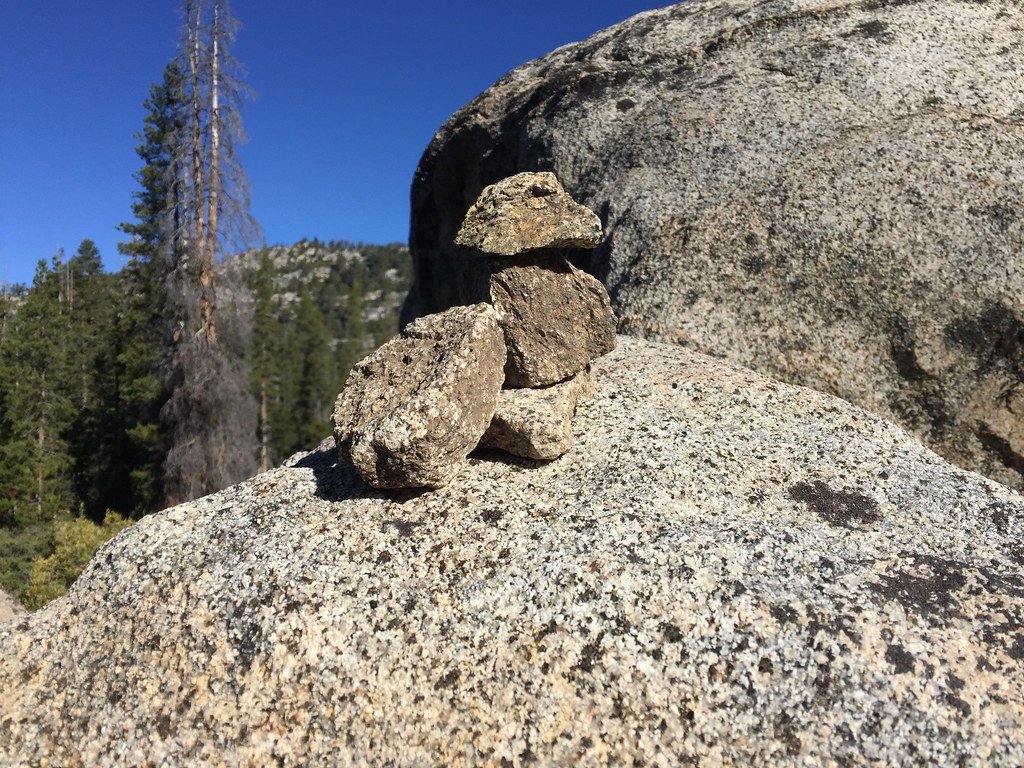 Buck Pasture TrailHiking · ~1 min drivePhoto: ray_explores, CC BY 2.0 (via Flickr)
 Showers Lake TrailHiking · ~2 min drivePhoto: jfdervin, CC BY-SA 2.0 (via Flickr)
 Emigrant LakeHiking · ~3 min drivePhoto: Ken Lund, CC BY-SA 2.0 (via Flickr)
 Lake MargaretHiking · ~3 min drivePhoto: ray_explores, CC BY 2.0 (via Flickr)
 Sentinels TrailHiking · ~5 min drivePhoto: RuggyBearLA, CC BY 2.0 (via Flickr)
 Thunder Mountain LoopHiking · ~5 min drivePhoto: Ken Lund, CC BY-SA 2.0 (via Flickr)
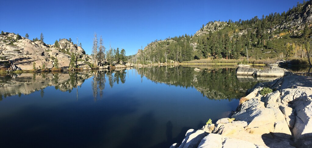 Strawberry CreekHiking · ~4 min drivePhoto: ray_explores, CC BY 2.0 (via Flickr)
Map and trail data © OpenStreetMap contributors

