
Woods Lake Cg
Campground
0.2 mi from the trail
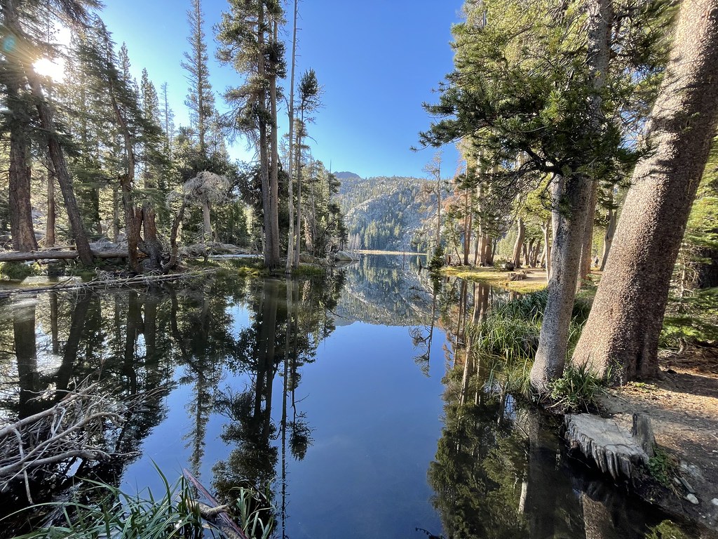 Photo: jfdervin, CC BY-SA 2.0 (via Flickr)
Winnemucca Trail is an easy out-and-back hike in the Amador Ranger District of Eldorado National Forest in California. The route is about 3.2 miles long, with an elevation gain of 828 feet, and it starts and ends at about 8,228 feet. The climb is front-loaded, with the steepest stretch at about 1.4 miles in, and the high point of the trail reaches 8,977 feet. The trail is a short, straightforward outing. Round Top Lake lies just 0.1 mile away, and Woods Lake Campground is about 0.2 mile off. For more time on foot, Caples Lake is roughly 1.5 miles away, and Caples Lake Resort sits about 2.5 miles away.
Where it is: Amador Ranger District · Eldorado National Forest
Been here? Tell people how it was.
Round Top LakeHikingPhoto: jfdervin, CC BY-SA 2.0 (via Flickr)0.1 miRound Top LakeHikingPhoto: jfdervin, CC BY-SA 2.0 (via Flickr)Next door Camp Irene TrailHikingPhoto: jfdervin, CC BY-SA 2.0 (via Flickr)~2 min drive
 Pacific Crest TrailHikingPhoto: jfdervin, CC BY-SA 2.0 (via Flickr)~4 min drive
 WOODS LAKE XCHikingPhoto: jfdervin, CC BY-SA 2.0 (via Flickr)~2 min drive
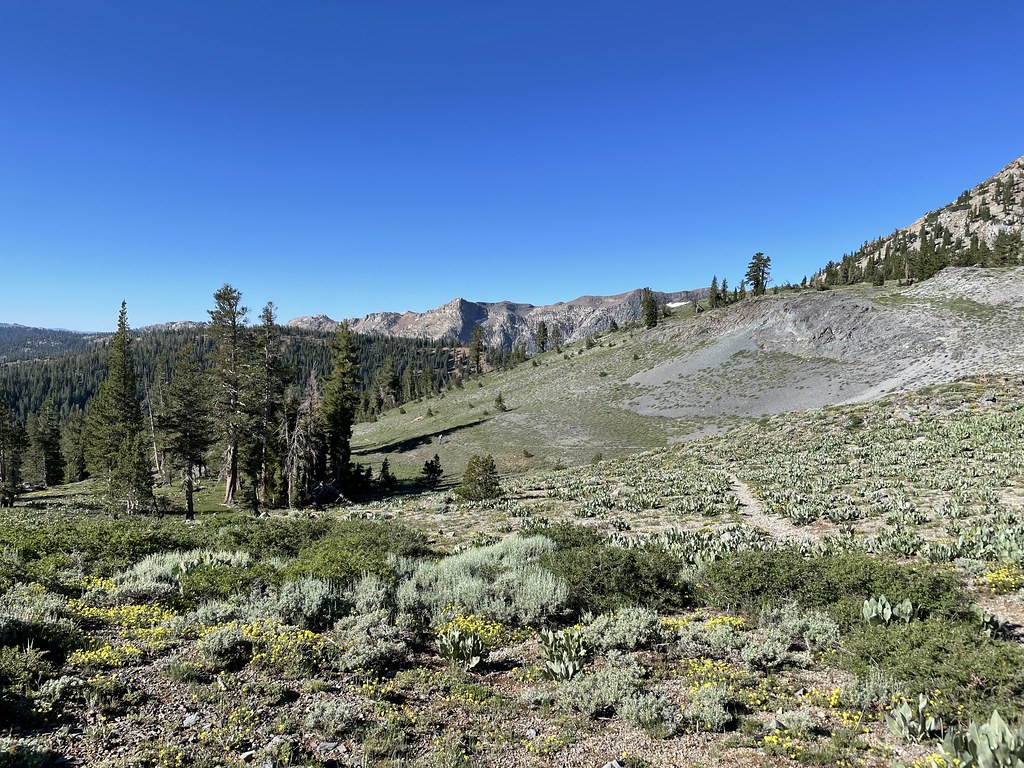 Summit CityHikingPhoto: jfdervin, CC BY-SA 2.0 (via Flickr)~5 min drive
 Schneider Camp TrailHikingPhoto: jfdervin, CC BY-SA 2.0 (via Flickr)~6 min drive
 Carson Pass to Lake Winnemucca TrailHikingPhoto: Dana L. Brown, CC BY-SA 2.0 (via Flickr)~2 min drive
 Emigrant LakeHikingPhoto: Ken Lund, CC BY-SA 2.0 (via Flickr)~6 min drive
 CRATER LAKE TRAILHikingPhoto: Ken Lund, CC BY-SA 2.0 (via Flickr)~6 min drivePACIFIC CREST TRAILHikingPhoto: Dana L. Brown, CC BY-SA 2.0 (via Flickr)~2 min drive
Daily highs and lows, wind and the chance of precipitation at Start for the next 7 days, from the Open-Meteo model.
Questions about Winnemucca Trail: conditions, access, timing. Answers say when something isn't known.
Woods Lake Cg
Campground
Alpine County Museum
Museum
Places © OpenStreetMap contributors, Places © Overture Maps Foundation
More in Bear ValleyNot on Roamze yet. Their page has how to reach them.
Map and trail data © OpenStreetMap contributors
