Mill City Tract
Campground
Campground · 0.6 mi from the trail
 Photo: inkknife_2000 (14 million views), CC BY-SA 2.0 (via Flickr)
Alert in the area
The Forest Service lists 3 alerts for Inyo National Forest.
Help Halt Golden Mussel Invasion
Agency alert covering Inyo National Forest · USFS · Inyo National Forest
Ansel Adams and John Muir Wilderness Campfire Restrictions
Agency alert covering Inyo National Forest · Order 05-04-50-25-04 · USFS · Inyo National Forest
Golden Trout and Hoover Wilderness Campfire Restrictions
Agency alert covering Inyo National Forest · Order 05-04-50-25-05 · USFS · Inyo National Forest
As of · Source: USFS · Inyo National Forest. Agencies don't list every closure — check before you go.
Sherwin Trail is a short, easy out-and-back hike in California's Inyo National Forest, within the Mammoth Ranger District. The trail is about 1.2 miles long, with a total elevation gain of 251 feet, and it starts at roughly 8,012 feet, reaching a high point of about 8,060 feet before returning to the starting level. The most comfortable time to go is summer. Typical averages from a nearby weather station at Mammoth Lakes show July highs around 78°F with lows near 49°F, while winter highs stay around 41°F with lows in the teens. The trip takes about half an hour, so it works well as a quick stop. Twin Lakes Campground and Pine City Campground are both within about a mile and a half, and the Mill City Vis mountain biking trail is about half a mile away.
Mill City Tract
Campground
Art Gallery at Twin Lakes
Gallery
Places © OpenStreetMap contributors, Places © Overture Maps Foundation
More in Mammoth LakesNot on Roamze yet. Their page has how to reach them.
 Twin Lakes CampgroundCampingPhoto: Recreation.gov (RIDB) / public domain1.2 mi
 Sister BoulderRock climbingPhoto: inkknife_2000 (14 million views), CC BY-SA 2.0 (via Flickr)1.7 mi
Source: Roamze catalog (indexable pages within 10 miles, PostGIS distance)
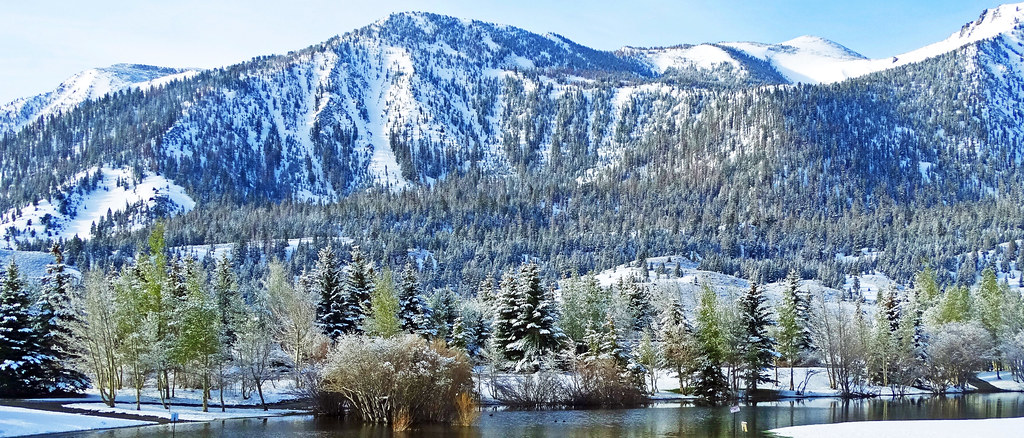 Sherwin TrailHiking · ~1 min drivePhoto: inkknife_2000 (14 million views), CC BY-SA 2.0 (via Flickr)
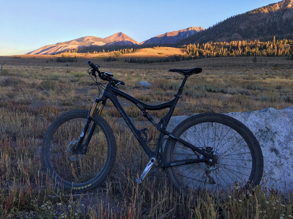 MEADOW TRAIL CONNECTORHiking · ~2 min drivePhoto: Perfect Zero, CC BY 2.0 (via Flickr)
 Duck PassHiking · ~3 min drivePhoto: GSEC, CC BY 2.0 (via Flickr)
 Panorama Dome TrailHiking · ~2 min drivePhoto: inkknife_2000 (14 million views), CC BY-SA 2.0 (via Flickr)
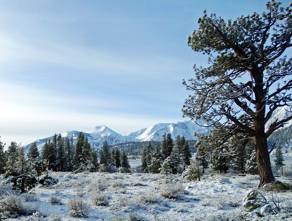 Mammoth Rock TrailHiking · ~3 min drivePhoto: inkknife_2000 (14 million views), CC BY-SA 2.0 (via Flickr)
 Panorama Dome Mtn BikeHiking · ~2 min drivePhoto: inkknife_2000 (14 million views), CC BY-SA 2.0 (via Flickr)
 Mammoth CrestHiking · ~3 min drivePhoto: inkknife_2000 (14 million views), CC BY-SA 2.0 (via Flickr)
 MAMMOTH LAKES PACK STATIONHiking · ~2 min drivePhoto: kla4067, CC BY-SA 2.0 (via Flickr)
 Mammoth Mountain-Mammoth Pass TrailHiking · ~3 min drivePhoto: Hike395 (talk · contribs), CC0 (via Wikimedia Commons)Mammoth Lks Pack-Mammoth PassHiking · ~2 min drivePhoto: kla4067, CC BY-SA 2.0 (via Flickr)
Also worth it near here
 Lake George PathMountain biking · ~2 min drivePhoto: Don Graham from Redlands, CA, USA - God bless it!, CC BY-SA 2.0 (via Wikimedia Commons)
Best months: May–September. Best months have typical highs of 55–85 °F, lows of 30 °F or warmer (32 °F where the station doesn't record snow), at most one snowy day and no more than 12 wet days.
Jan
41° / 17°
Feb
41° / 18°
Mar
45° / 22°
Apr
51° / 27°
May
60° / 35°
Jun
70° / 42°
Jul
78° / 49°
Aug
77° / 47°
Sep
71° / 40°
Oct
61° / 30°
Nov
49° / 23°
Dec
41° / 17°
Typical high / low (°F) and days with rain or snow, 1991–2020. Measured at Mammoth Lakes Rs, CA, 2.4 mi away at 7,804 ft. This station doesn't record snowfall. Source: NOAA NCEI U.S. Climate Normals 1991–2020.
Map and trail data © OpenStreetMap contributors
