Tamarack Lodge
Campground
Campground · 0.3 mi from the trail
 Photo: inkknife_2000 (14 million views), CC BY-SA 2.0 (via Flickr)
Alert in the area
The Forest Service lists 3 alerts for Inyo National Forest.
Help Halt Golden Mussel Invasion
Agency alert covering Inyo National Forest · USFS · Inyo National Forest
Ansel Adams and John Muir Wilderness Campfire Restrictions
Agency alert covering Inyo National Forest · Order 05-04-50-25-04 · USFS · Inyo National Forest
Golden Trout and Hoover Wilderness Campfire Restrictions
Agency alert covering Inyo National Forest · Order 05-04-50-25-05 · USFS · Inyo National Forest
As of · Source: USFS · Inyo National Forest. Agencies don't list every closure — check before you go.
Panorama Dome Mtn Bike is an easy, short ride in the Mammoth Ranger District of Inyo National Forest, managed by the Forest Service. The trail is about a mile long, with a one-way climb of about 95 feet from a low point of 8,552 feet to a high of 8,628 feet. It's a natural-surface route, and bikes are allowed. Summer is the most comfortable time to go. Typical averages from a nearby weather station at Mammoth Lakes show July highs around 78°F with lows near 49°F, while winter highs sit around 41°F. The Panorama Dome Trail and the Panorama Dome Mtn Bike Spur both start about 0.1 mile away. Twin Lakes Campground is half a mile off, and Lake Mary Campground is about 1.1 miles away.
Tamarack Lodge
Campground
Lakefront
Restaurant
Art Gallery at Twin Lakes
Gallery
Places © OpenStreetMap contributors
More in Mammoth LakesNot on Roamze yet. Their page has how to reach them.
Best months: May–September. Best months have typical highs of 55–85 °F, lows of 30 °F or warmer (32 °F where the station doesn't record snow), at most one snowy day and no more than 12 wet days.
Jan
41° / 17°
Feb
41° / 18°
Mar
45° / 22°
Apr
51° / 27°
May
60° / 35°
Jun
70° / 42°
Jul
78° / 49°
Aug
77° / 47°
Sep
71° / 40°
Oct
61° / 30°
Nov
49° / 23°
Dec
41° / 17°
Typical high / low (°F) and days with rain or snow, 1991–2020. Measured at Mammoth Lakes Rs, CA, 2.8 mi away at 7,804 ft. The station sits about 800 ft lower than this place, so expect it a little cooler here. This station doesn't record snowfall. Source: NOAA NCEI U.S. Climate Normals 1991–2020.
 Photo: inkknife_2000 (14 million views), CC BY-SA 2.0 (via Flickr)
Panorama Dome Trail
Next door
1.46-mile out-and-back hike in California with 554 ft elevation gain
 Photo: Hike395 (talk · contribs), CC0 (via Wikimedia Commons)
Mammoth Mountain-Mammoth Pass Trail
~2 min drive
2.08-mile out-and-back hike on Mammoth Mountain with 857 ft gain/loss.
 Photo: GSEC, CC BY 2.0 (via Flickr)
Duck Pass
~4 min drive
7.22-mile out-and-back trail in California with 2,154 ft gain.
 Photo: inkknife_2000 (14 million views), CC BY-SA 2.0 (via Flickr)
Panorama Mountain Bike Loop
Next door
1.44-mile out-and-back mountain bike out-and-back in California with 362 ft elevation gain.
 Photo: Don Graham from Redlands, CA, USA - God bless it!, CC BY-SA 2.0 (via Wikimedia Commons)
Horseshoe Lake Loop
~2 min drive
3.31-mile out-and-back trail in California with 277 ft of elevation gain.
 Photo: Plane777 (talk · contribs), Public domain (via Wikimedia Commons)
Mammoth Mountain Trail
~5 min drive
7.52-mile out-and-back hike in California with 2,617 ft elevation gain and loss.
 Photo: inkknife_2000 (14 million views), CC BY-SA 2.0 (via Flickr)
Seven Lakes Point Loop
~1 min drive
0.79-mile out-and-back trail in California with 342 ft elevation gain.
 Photo: inkknife_2000 (14 million views), CC BY-SA 2.0 (via Flickr)
Mammoth Crest
~2 min drive
4.4-mile out-and-back trail in California with 1,274 ft elevation gain.
 Photo: inkknife_2000 (14 million views), CC BY-SA 2.0 (via Flickr)
Panorama Dome Pack
~1 min drive
2.56-mile out-and-back trail in California with 239 ft elevation gain.
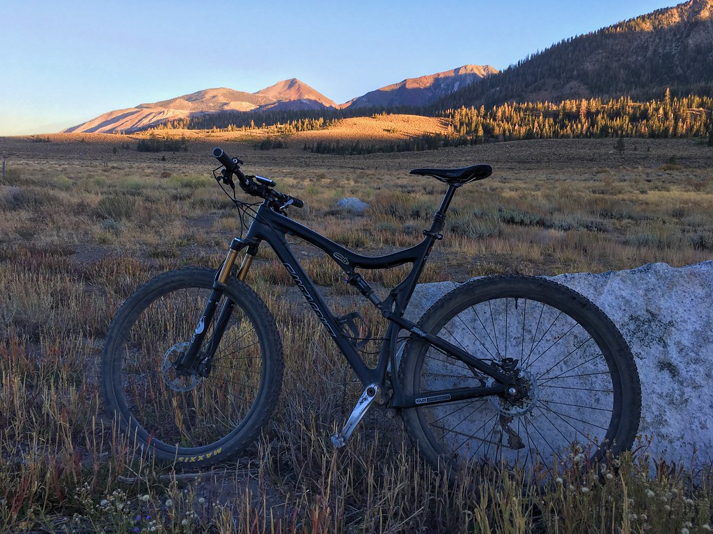 Photo: Perfect Zero, CC BY 2.0 (via Flickr)
MEADOW TRAIL CONNECTOR
~3 min drive
3.21-mile loop trail in California with 1,180 ft elevation gain and loss.
