San Gorgonio
Campground
Campground · 0.4 mi from the trail
 Photo: inkknife_2000 (7.5 million views +), CC BY-SA 2.0 (via Wikimedia Commons)
Closure in the area
There's a closure order in Mountaintop Ranger District. It doesn't name Santa Ana River Trail D Spur, so check the source for the area it covers.
Radford Fire Closure Area
Agency closure covering Mountaintop Ranger District · Order 05-12-52-24-06 · USFS · Mountaintop Ranger District
Safety Alert - Falling Rocks at Bonita Falls
Agency alert covering San Bernardino National Forest · USFS · San Bernardino National Forest
Fire Restrictions
Agency alert covering San Bernardino National Forest · Order 05-12-00-26-05 · USFS · San Bernardino National Forest
As of · Source: USFS · Mountaintop Ranger District. Agencies don't list every closure — check before you go.
The Santa Ana River Trail D Spur is a short, easy out-and-back hike in the Mountaintop Ranger District of San Bernardino National Forest, managed by the Forest Service. The route is about a mile long, with a total elevation gain of about 220 feet, and it starts and ends at roughly 6,355 feet. The high point on the trail reaches about 6,552 feet, and the climb is front-loaded, with the steepest stretch at about 0.36 miles in, where the grade reaches 18 percent. The most comfortable months for a visit are typically late spring and early fall. Typical averages from the nearby Big Bear Lake weather station show May highs around 66°F and September highs around 73°F, with only a couple of wet days in each month. Winter is much colder, with January and February highs near 46°F and lows around 24°F. The trip takes about half an hour, so it works well as a quick outing. The Santa Ana River Trail B Spur and the Hermonator Shortcut are both about 0.3 miles away, and Barton Flats campground is about half a mile off. For climbing, Skyline Slab is about 3.2 miles away.
San Gorgonio
Campground
 If it rainsBeyond My Ken, CC BY-SA 4.0 · Wikimedia Commons
Deep Creek Hot Springs
Hot spring
Natural hot springs located in San Bernardino National Forest, California, United States
Places © OpenStreetMap contributors, Places © Overture Maps Foundation · Photos: Beyond My Ken, CC BY-SA 4.0 (commons)
More in Lucerne Valley San GorgonioSaltwater fishing0.4 mi
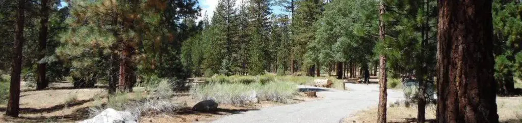 Barton FlatsCampingPhoto: Recreation.gov (RIDB) / public domain0.5 mi
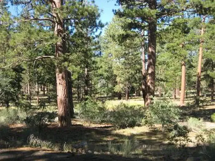 Lobo GroupCampingPhoto: Recreation.gov (RIDB) / public domain0.7 mi
Source: Roamze catalog (indexable pages within 10 miles, PostGIS distance)
Rio MonteHiking · ~1 min drivePhoto: inkknife_2000 (7.5 million views +), CC BY-SA 2.0 (via Wikimedia Commons)Jenks LakeHiking · ~2 min drivePhoto: inkknife_2000 (7.5 million views +), CC BY-SA 2.0 (via Wikimedia Commons) FORSEE CREEKHiking · ~3 min drivePhoto: inkknife_2000 (7.5 million views +), CC BY-SA 2.0 (via Wikimedia Commons)
 Santa Ana River TrailHiking · ~5 min drivePhoto: inkknife_2000 (7.5 million views +), CC BY-SA 2.0 (via Wikimedia Commons)SANTA ANA RIVER TRAIL A SPURHiking · ~2 min drivePhoto: inkknife_2000 (7.5 million views +), CC BY-SA 2.0 (via Wikimedia Commons)Rattlesnake CreekHiking · ~2 min drivePhoto: inkknife_2000 (7.5 million views +), CC BY-SA 2.0 (via Wikimedia Commons)
 Radford Truck TrailHiking · ~5 min drivePhoto: kallahar, CC BY 3.0 (via Wikimedia Commons)
 South ForkHiking · ~3 min drivePhoto: simonov, CC BY-SA 2.0 (via Flickr)
 Jenks Lake TrailHiking · ~2 min drivePhoto: inkknife_2000 (7.5 million views +), CC BY-SA 2.0 (via Wikimedia Commons)
Best months: May–October. Best months have typical highs of 55–85 °F, lows of 30 °F or warmer (32 °F where the station doesn't record snow), at most one snowy day and no more than 12 wet days.
Jan
46° / 24°
6 wet
Feb
46° / 24°
6 wet
Mar
51° / 27°
6 wet
Apr
57° / 31°
4 wet
May
66° / 37°
2 wet
Jun
75° / 43°
1 wet
Jul
80° / 50°
2 wet
Aug
79° / 49°
3 wet
Sep
73° / 44°
2 wet
Oct
63° / 35°
2 wet
Nov
53° / 28°
3 wet
Dec
46° / 24°
6 wet
Typical high / low (°F) and days with rain or snow, 1991–2020. Measured at Big Bear Lake, CA, 5.2 mi away at 6,753 ft. This station doesn't record snowfall. Source: NOAA NCEI U.S. Climate Normals 1991–2020.
Map and trail data © OpenStreetMap contributors
