Jackass Meadow
Campground
Campground · 5.8 mi from the trail
Closure in the area
There's a closure order in Sierra National Forest. It doesn't name SANDPIPER LAKE, so check the source for the area it covers (3 listed).
Safety Tips for Burned Areas: Garnet Fire Area
Agency closure covering Sierra National Forest · USFS · Sierra National Forest
Wilderness Food and Refuse Storage
Agency closure covering Sierra National Forest · Order 05-15-00-26-03 · USFS · Sierra National Forest
Food and Refuse Storage
Agency closure covering Sierra National Forest · Order 05-15-00-26-02 · USFS · Sierra National Forest
Forest Order removes Fish Camp, Soda Springs, and Little Jackass from closure list
Agency alert covering Sierra National Forest · Order 05-15-00-26-11 · USFS · Sierra National Forest
Ansel Adams and John Muir Wilderness Campfire Restrictions
Agency alert covering Sierra National Forest · Order 05-15-00-26-09 · USFS · Sierra National Forest
As of · Source: USFS · Sierra National Forest. Agencies don't list every closure — check before you go.
Sandpiper Lake is an easy, out-and-back hike of about 2.6 miles in California's John Muir Wilderness, within the High Sierra Ranger District of Sierra National Forest. The route starts at roughly 10,090 feet and climbs to about 10,530 feet, a total gain of about 750 feet, before descending back to the trailhead. The climb is front-loaded, with the steepest stretch around 0.57 miles in, where the grade reaches about 21%. The hike lies within designated wilderness, and the Forest Service manages the surrounding land. It makes a compact day in the high Sierra, with the trip estimated to take about an hour. Nearby, the Bear Creek Alternate Crossing Route begins just 0.1 mile away, and the Seven Gables Trail is about half a mile off. For an overnight stay, Jackass Meadow campground is about 5.8 miles away, and Ward Lake campground sits about 6.9 miles away.
Jackass Meadow
Campground
Iva Bell Hot Springs
Hot spring
Places © OpenStreetMap contributors
More in Mammoth LakesNot on Roamze yet. Their page has how to reach them.
 Seven Gables TrailHikingPhoto: Chris M Morris, CC BY 2.0 (via Wikimedia Commons)0.5 mi
Source: Roamze catalog (indexable pages within 10 miles, PostGIS distance)
Seven Gables TrailHiking · Next doorPhoto: Chris M Morris, CC BY 2.0 (via Wikimedia Commons)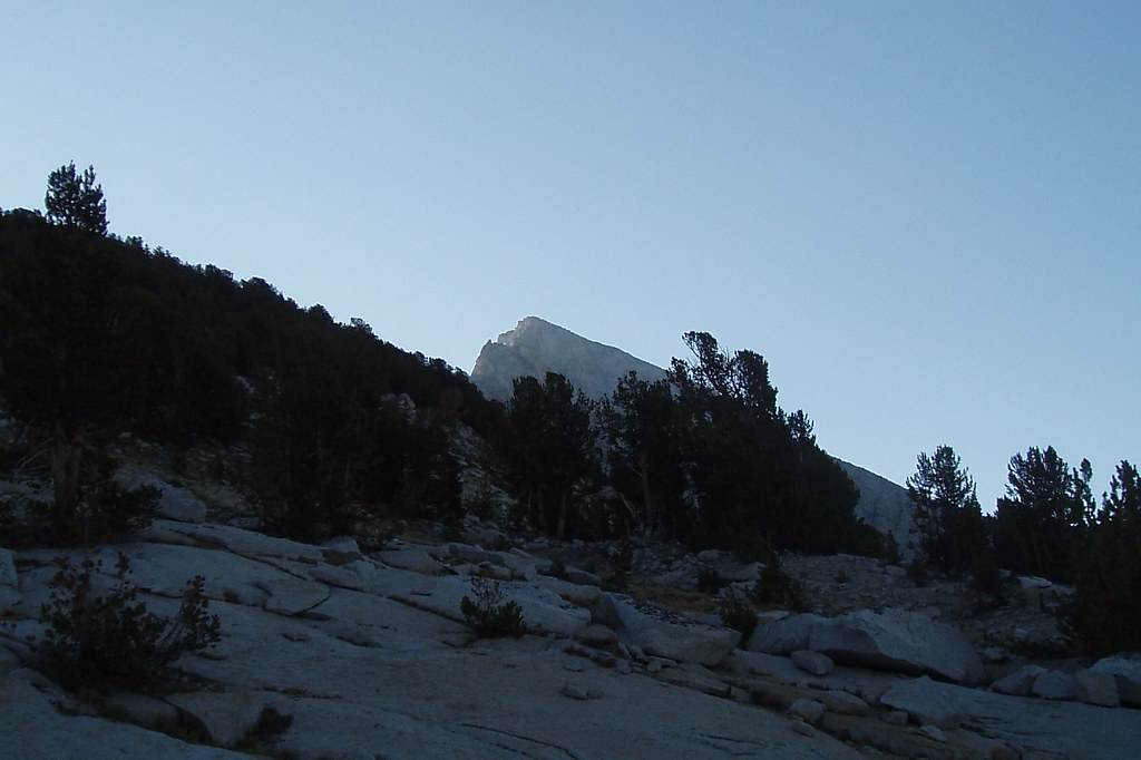 Volcanic KnobHiking · ~9 min drivePhoto: Tom Hilton, CC BY 2.0 (via Flickr)
 Bear Creek CutoffHiking · ~10 min drivePhoto: GSEC, CC BY 2.0 (via Flickr)
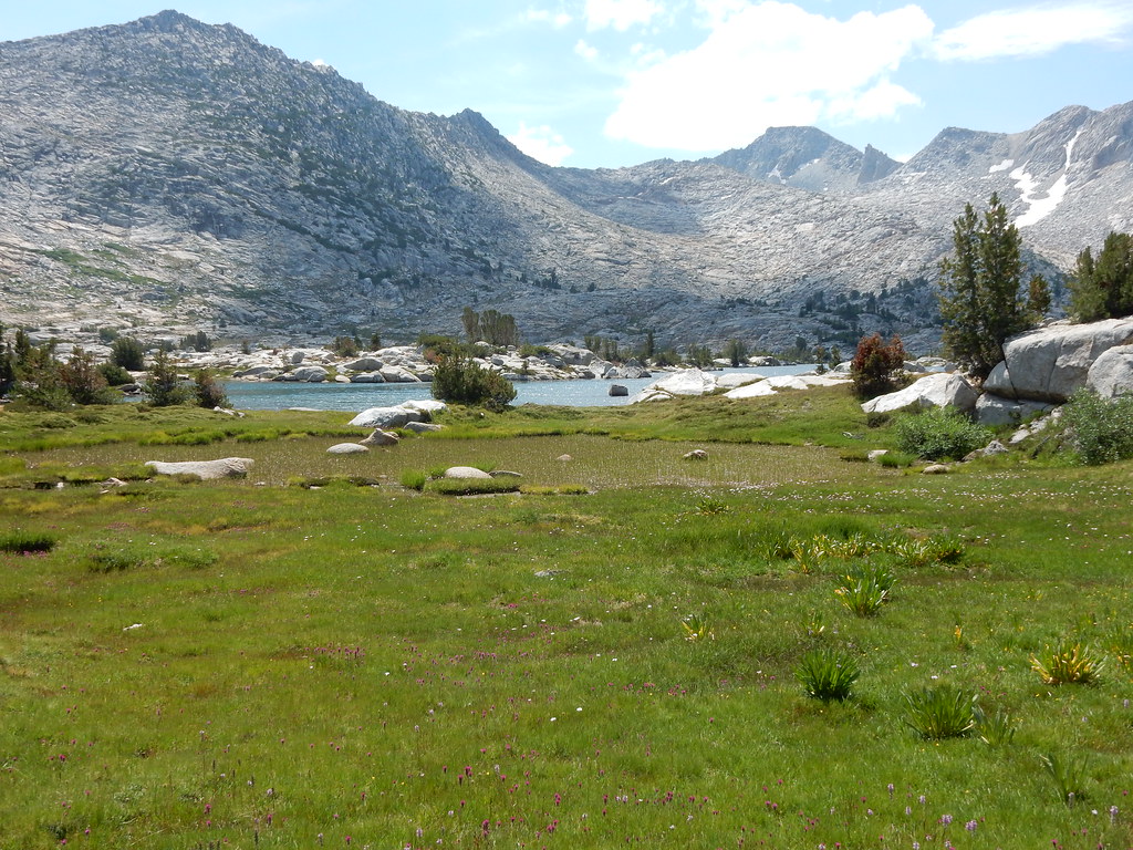 Rose LakeHiking · Next doorPhoto: Matt Lavin, CC BY-SA 2.0 (via Flickr)
 Poison MeadowHiking · ~10 min drivePhoto: GSEC, CC BY 2.0 (via Flickr)
 Golden Trout Lake TrailHiking · ~13 min drivePhoto: Jesse Wagstaff, CC BY 2.0 (via Wikimedia Commons)
 Seven GablesHiking · ~2 min drivePhoto: shutterfish, CC BY-SA 2.0 (via Flickr)
 French CanyonHiking · ~10 min drivePhoto: Jesse Wagstaff, CC BY 2.0 (via Flickr)
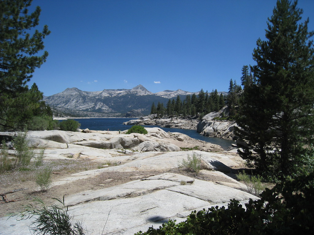 CRATER LAKEHiking · ~12 min drivePhoto: GSEC, CC BY 2.0 (via Flickr)
