Sand Canyon Trails
- 11.1 mi
- round trip
- 4,179 ft
- climb
- 5,033 ft
- high point
- Out and back
- route
- Mar–May, Oct–Nov
- best months
Sand Canyon Trails is a hard hike in California's Owens Peak Wilderness, within the Bureau of Land Management's Ridgecrest Field Office. The out-and-back route covers about 22 miles, with a low point of 3,133 feet and a high of 5,033 feet, and the one-way climb totals about 4,179 feet. Spring and fall are the most comfortable times to go. Typical averages from a nearby weather station at Haiwee, about 27 miles away and roughly 1,200 feet lower, show May highs near 78°F and October highs near 74°F. At the top of the trail, temperatures run cooler. The route is rated hard, and horses are allowed. Owens Peak Trail is about 3 miles away, and Short Canyon Trail is a little farther. Climbers can head to Indian Wells Canyon, about 5 miles off. Walker Pass Campground is roughly 8 miles away.
- Owens Peak TrailHiking2.9 mi
 Short Canyon TrailHikingPhoto: mypubliclands, CC BY 2.0 (via Flickr)3.3 mi
 65035: Indian Wells Canyon RoadHikingPhoto: David~O, CC BY 2.0 (via Flickr)3.9 mi
- Lamont Peak Spur TrailHiking4.7 mi
- Indian Wells CanyonRock climbing4.8 mi
- Breakfast CragsRock climbing5.5 mi
- Walker Pass CampgroundCamping7.9 mi
- Chimney Creek CampgroundCamping8.1 mi
Source: Roamze catalog (indexable pages within 10 miles, PostGIS distance)
- Short Canyon TrailHiking · ~6 min drivePhoto: mypubliclands, CC BY 2.0 (via Flickr)
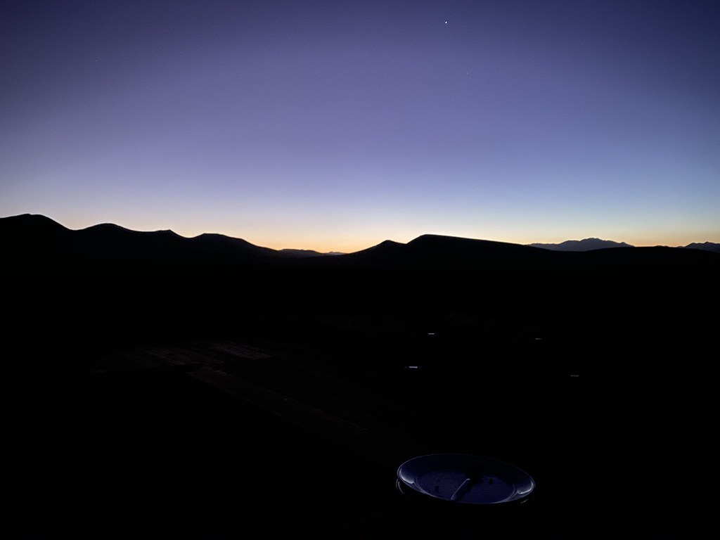 Abandoned RR BedHiking · ~34 min drivePhoto: deziluzija, CC BY-SA 2.0 (via Flickr)
 Bitter CreekHiking · ~43 min drivePhoto: RuggyBearLA, CC BY 2.0 (via Flickr)
- Little CannellHiking · ~39 min drive
- 65035: Indian Wells Canyon RoadHiking · ~7 min drivePhoto: David~O, CC BY 2.0 (via Flickr)
- Lamont Peak Spur TrailHiking · ~8 min drive
- Owens Peak TrailHiking · ~5 min drive
- Cannell TrailHiking · ~40 min drive
 Fossil Falls TrailHiking · ~26 min drivePhoto: Alexander Hatley, CC BY 2.0 (via Flickr)
- BLM Long ValleyHiking · ~23 min drive
Best time to visit Sand Canyon Trails
Best months: March–May and October–November. Best months have typical highs of 55–85 °F, lows of 30 °F or warmer (32 °F where the station doesn't record snow), at most one snowy day and no more than 12 wet days.
Jan
51° / 27°
4 wet
Feb
55° / 29°
4 wet
Mar
62° / 34°
3 wet
Apr
69° / 39°
2 wet
May
78° / 47°
2 wet
Jun
89° / 56°
1 wet
Jul
94° / 62°
1 wet
Aug
93° / 61°
1 wet
Sep
86° / 54°
1 wet
Oct
74° / 43°
1 wet
Nov
60° / 33°
2 wet
Dec
50° / 26°
4 wet
Typical high / low (°F) and days with rain or snow, 1991–2020. Measured at Haiwee, CA, 26.7 mi away at 3,825 ft. The station sits about 1,200 ft lower than this place, so expect it a little cooler here. This station doesn't record snowfall. Source: NOAA NCEI U.S. Climate Normals 1991–2020.
