BLM Long Valley
- 3.6 mi
- round trip
- 639 ft
- climb
- 5,293 ft
- high point
- Out and back
- route
- Mar–May, Oct–Nov
- best months
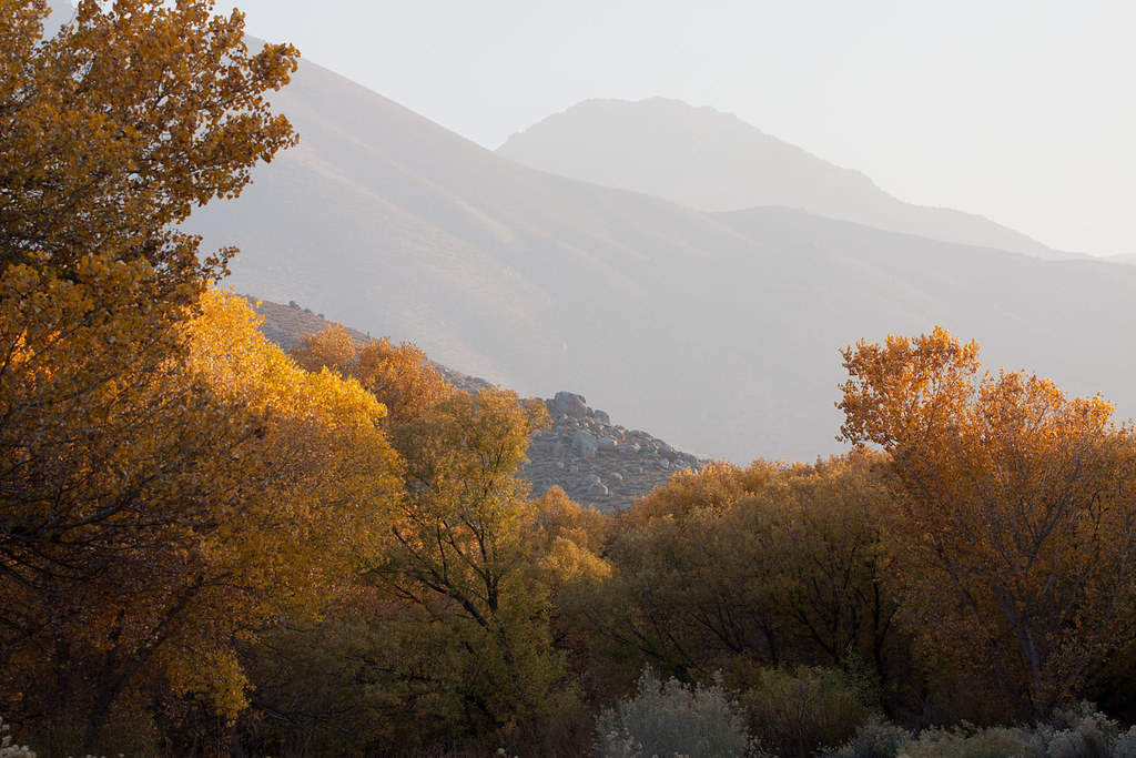
BLM Long Valley is a 3.6-mile out-and-back hike on Bureau of Land Management land in California's Bakersfield Field Office, managed by the Bureau of Land Management. The trail rises from about 4,600 feet to roughly 5,293 feet, a climb of 639 feet, and is rated moderate. Spring and fall are the most comfortable times to go. Typical averages from the Haiwee weather station, about 23 miles away at a lower elevation, show April highs near 69°F and October highs around 74°F, while July and August average in the low 90s. The trail is natural-surfaced and not accessible, and bikes are not allowed. Long Valley Campground sits just 0.3 miles away. Chimney Creek Campground, Rectory - East Face and The Rectory climbing area are all about 6.6 miles off.
- Long Valley CampgroundCamping0.3 mi
- Chimney Creek CampgroundCamping6.4 mi
- Rectory - East FaceRock climbing6.6 mi
- The RectoryRock climbing6.6 mi
- HortonHiking6.8 mi
- Church DomesRock climbing6.9 mi
- Manter CreekHiking7.5 mi
- Cabin Spur TrailHiking7.8 mi
Source: Roamze catalog (indexable pages within 10 miles, PostGIS distance)
 Bald MountainHiking · ~23 min drivePhoto: Justin, CC BY-SA 2.0 (via Wikimedia Commons)
 Potato PatchHiking · ~25 min drivePhoto: anon4809, Public Domain Dedication (CC0) (via Flickr)
 Mahogany Creek TrailHiking · ~25 min drivePhoto: Chris English, CC BY-SA 3.0 (via Wikimedia Commons)
- Little CannellHiking · ~18 min drive
 Sagebrush TrailHiking · ~25 min drivePhoto: David~O, CC BY 2.0 (via Flickr)
 Bitter CreekHiking · ~25 min drivePhoto: RuggyBearLA, CC BY 2.0 (via Flickr)
- Lamont Peak Spur TrailHiking · ~15 min drive
- Cannell TrailHiking · ~21 min drive
- Nature TrailHiking · ~25 min drivePhoto: David~O, CC BY 2.0 (via Flickr)
- Manter CreekHiking · ~13 min drive
Best time to visit BLM Long Valley
Best months: March–May and October–November. Best months have typical highs of 55–85 °F, lows of 30 °F or warmer (32 °F where the station doesn't record snow), at most one snowy day and no more than 12 wet days.
Jan
51° / 27°
4 wet
Feb
55° / 29°
4 wet
Mar
62° / 34°
3 wet
Apr
69° / 39°
2 wet
May
78° / 47°
2 wet
Jun
89° / 56°
1 wet
Jul
94° / 62°
1 wet
Aug
93° / 61°
1 wet
Sep
86° / 54°
1 wet
Oct
74° / 43°
1 wet
Nov
60° / 33°
2 wet
Dec
50° / 26°
4 wet
Typical high / low (°F) and days with rain or snow, 1991–2020. Measured at Haiwee, CA, 23.3 mi away at 3,825 ft. The station sits about 1,500 ft lower than this place, so expect it a little cooler here. This station doesn't record snowfall. Source: NOAA NCEI U.S. Climate Normals 1991–2020.

