65035: Indian Wells Canyon Road
 Photo: David~O, CC BY 2.0 (via Flickr)
- 0.6 mi
- round trip
- 290 ft
- climb
- 5,213 ft
- high point
- Out and back
- route
- Jan–Jun, Sep–Nov
- best months
Indian Wells Canyon Road is an easy out-and-back hike on Bureau of Land Management land in California's Ridgecrest Field Office. It is a short trip, about a mile and a quarter long, with a total elevation gain of about 290 feet from the low point at 4,919 feet to the high at 5,213 feet. The route starts and ends on the same road, so it works as a quick stop for riders and pack animals as well as hikers. The trail is suitable for hikers, and it is also open to horses and bikes, which makes it a practical choice for visitors planning to ride or ride in. Spring and fall are the most comfortable times to go. Typical averages from a nearby weather station run from highs around 71°F in May to about 73°F in October, while July and August average highs in the upper 80s. Indian Wells Canyon, a climbing area, is about 2 miles away, and the Short Canyon Trail and Owens Peak Trail are both within about 3 miles. Walker Pass Campground lies about 4.7 miles off.
- Indian Wells CanyonRock climbing2.2 mi
 Short Canyon TrailHikingPhoto: mypubliclands, CC BY 2.0 (via Flickr)3 mi
- Owens Peak TrailHiking3.4 mi
- Sand Canyon TrailsHiking3.9 mi
- Breakfast CragsRock climbing4.2 mi
- Walker Pass CampgroundCamping4.7 mi
- Lamont Peak Spur TrailHiking6.7 mi
Source: Roamze catalog (indexable pages within 10 miles, PostGIS distance)
- Short Canyon TrailHiking · ~5 min drivePhoto: mypubliclands, CC BY 2.0 (via Flickr)
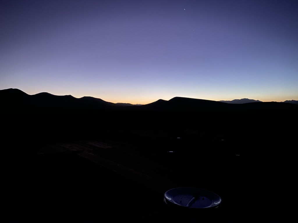 Abandoned RR BedHiking · ~30 min drivePhoto: deziluzija, CC BY-SA 2.0 (via Flickr)
- Owens Peak TrailHiking · ~6 min drive
- Woolstaff Meadow TrailHiking · ~35 min drive
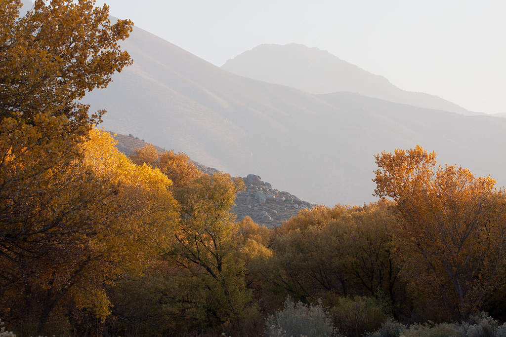 Nature TrailHiking · ~33 min drivePhoto: David~O, CC BY 2.0 (via Flickr)
- Lamont Peak Spur TrailHiking · ~12 min drive
- Sand Canyon TrailsHiking · ~7 min drive
- Cannell TrailHiking · ~40 min drive
- Sagebrush TrailHiking · ~33 min drivePhoto: David~O, CC BY 2.0 (via Flickr)
- BLM Long ValleyHiking · ~25 min drive
Best time to visit 65035: Indian Wells Canyon Road
Best months: January–June and September–November. Best months have typical highs of 55–85 °F, lows of 30 °F or warmer (32 °F where the station doesn't record snow), at most one snowy day and no more than 12 wet days.
Jan
55° / 32°
Feb
56° / 32°
Mar
58° / 35°
Apr
63° / 37°
May
71° / 43°
Jun
82° / 51°
Jul
88° / 57°
Aug
89° / 56°
Sep
84° / 51°
Oct
73° / 45°
Nov
63° / 38°
Dec
54° / 32°
Typical high / low (°F) and days with rain or snow, 1991–2020. Measured at Loraine 5 Nne, CA, 33.2 mi away at 4,235 ft. The station sits about 1,000 ft lower than this place, so expect it a little cooler here. This station doesn't record snowfall. Source: NOAA NCEI U.S. Climate Normals 1991–2020.
