San Gabriel River Trail - Lario Connector
- 0.4 mi
- round trip
- 40 ft
- climb
- 617 ft
- high point
- Out and back
- route
- Oct–Jul
- best months
The San Gabriel River Trail - Lario Connector is a short, easy out-and-back hike in California, about 0.7 miles from the community of Las Lomas. The route is roughly 0.8 miles long, with a total elevation gain of about 40 feet, so it's a gentle walk that can be done in about half an hour. Spring and fall are the most comfortable times to go. Typical averages from a nearby weather station show April highs around 74°F and October highs around 81°F, while July and August climb into the mid-80s. The San Gabriel River Trail lies about 0.8 miles away, and the Fish Canyon Falls Public Access Path is about 1.2 miles off. For an overnight stay, Spring Camp is about 5.7 miles away, and the Los Angeles Basin climbing area is about 6 miles away.
- San Gabriel River TrailHiking0.8 mi
 Fish Canyon Falls Public Access PathHikingPhoto: JingKe888, CC BY 2.0 (via Flickr)1.2 mi
- Sawpit Wash Unimproved Recreation TrailHiking3.2 mi
- Spring CampCamping5.7 mi
- Los Angeles BasinRock climbing6 mi
- Glenn CampCamping6.9 mi
 West Fork San Gabriel RiverCanoeingPhoto: Eeekster, CC BY 3.0 (via Wikimedia Commons)7.3 mi
 San Gabriel RiverCanoeingPhoto: Emarateyya, Muna Al Zaabi, CC BY-SA 3.0 (via Wikimedia Commons)8.9 mi
Source: Roamze catalog (indexable pages within 10 miles, PostGIS distance)
- Fish Canyon Falls Public Access PathHiking · ~2 min drivePhoto: JingKe888, CC BY 2.0 (via Flickr)
 Monrovia Canyon Truck TrailHiking · ~7 min drivePhoto: roger4336, CC BY-SA 2.0 (via Wikimedia Commons)
 Wren Meacham TrailHiking · ~11 min drivePhoto: InSapphoWeTrust from Los Angeles, California, USA, CC BY-SA 2.0 (via Wikimedia Commons)
 Silver Fish TrailHiking · ~7 min drivePhoto: waterarchives, CC BY-SA 2.0 (via Flickr)
 San Gabriel River TrailHiking · ~5 min drivePhoto: Sonysnob at English Wikipedia, CC BY-SA 3.0 (via Wikimedia Commons)
 Upper Clamshell Truck TrailHiking · ~9 min drivePhoto: JingKe888, CC BY 2.0 (via Flickr)
- San Gabriel River TrailHiking · ~1 min drive
- Lower Clamshell Truck TrailHiking · ~7 min drive
- San Gabriel River TrailHiking · ~5 min drivePhoto: Sonysnob at English Wikipedia, CC BY-SA 3.0 (via Wikimedia Commons)
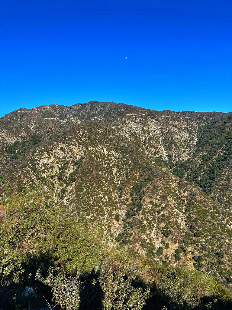 Chantry Flats Truck TrailHiking · ~11 min drivePhoto: JingKe888, CC BY 2.0 (via Flickr)
Best time to visit San Gabriel River Trail - Lario Connector
Best months: October–July. Best months have typical highs of 55–85 °F, lows of 30 °F or warmer (32 °F where the station doesn't record snow), at most one snowy day and no more than 12 wet days.
Jan
69° / 46°
6 wet
Feb
68° / 47°
6 wet
Mar
71° / 51°
5 wet
Apr
74° / 53°
3 wet
May
76° / 58°
2 wet
Jun
81° / 62°
1 wet
Jul
85° / 65°
0 wet
Aug
88° / 66°
0 wet
Sep
87° / 64°
0 wet
Oct
81° / 57°
2 wet
Nov
74° / 51°
3 wet
Dec
68° / 45°
5 wet
Typical high / low (°F) and days with rain or snow, 1991–2020. Measured at San Gabriel Fire Dept, CA, 10.3 mi away at 363 ft. Source: NOAA NCEI U.S. Climate Normals 1991–2020.

Map and trail data © OpenStreetMap contributors
