Hoegees
Campground
Campground · 1.2 mi from the trail
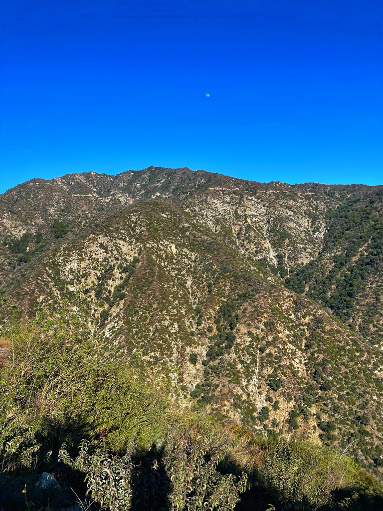 Photo: JingKe888, CC BY 2.0 (via Flickr)
Caution today
Agency alerts are in effect for this area; weather is good · USFS, OpenWeather · checked 10 h ago
Alert in the area
The Forest Service lists 7 alerts for Angeles National Forest.
Rincon-Redbox Road (2N24) Closure
Agency alert covering Angeles National Forest · Order 05-01-26-13 · USFS · Angeles National Forest
Fire Danger Level Elevated to "Very High"
Agency alert covering Angeles National Forest · USFS · Angeles National Forest
San Gabriel Canyon OHV Area Prohibitions
Agency alert covering Angeles National Forest · Order 05-01-26-09 · USFS · Angeles National Forest
San Dimas Experimental Forest Closure
Agency alert covering Angeles National Forest · USFS · Angeles National Forest
Eaton Fire Area Closure
Agency alert covering Angeles National Forest · Order 05-01-26-04 · USFS · Angeles National Forest
As of · Source: USFS · Angeles National Forest. Agencies don't list every closure — check before you go.
Chantry Flats Truck Trail is a steep, technical out-and-back hike in the Los Angeles Gateway Ranger District of Angeles National Forest, managed by the Forest Service. The trail starts at about 2,228 feet and climbs to 3,390 feet, with a total elevation gain of 4,648 feet over its 7.5-mile length. The high point is 3,390 feet, and the steepest stretch comes early, around 0.94 miles in, with a grade of about 23 percent. The trail is rated expert, and the climb is steady rather than broken into distinct sections. The route makes a good pairing with other outings in the area. Winter Creek (Upper) and First Water are both about 0.3 miles away, and Winter Creek (Lower) is about 0.6 miles off. For an overnight base, Hoegees Campground sits about 1.2 miles from the trail.
Hoegees
Campground
 If it rainsCullen328, CC BY-SA 3.0 · Wikimedia Commons
Places © OpenStreetMap contributors, Places © Overture Maps Foundation · Photos: Cullen328, CC BY-SA 3.0 (commons)
More in Acton West Fork San Gabriel RiverCanoeingPhoto: Eeekster, CC BY 3.0 (via Wikimedia Commons)4.8 mi
Source: Roamze catalog (indexable pages within 10 miles, PostGIS distance)
 Upper Clamshell Truck TrailHiking · ~2 min drivePhoto: JingKe888, CC BY 2.0 (via Flickr)
 Sturtevant LoopHiking · ~2 min drivePhoto: JingKe888, CC BY 2.0 (via Flickr)
 Zion TrailHiking · ~2 min drivePhoto: OctopusHat on Flickr, CC BY-SA 2.0 (via Wikimedia Commons)
 Winter Creek trailHiking · ~4 min drivePhoto: InSapphoWeTrust from Los Angeles, California, USA, CC BY-SA 2.0 (via Wikimedia Commons)Mount Wilson TrailHiking · ~4 min drivePhoto: InSapphoWeTrust from Los Angeles, California, USA, CC BY-SA 2.0 (via Wikimedia Commons)
 Bastard RidgeHiking · ~3 min drivePhoto: D Sneiders from Temple City, USA, CC BY-SA 2.0 (via Wikimedia Commons)WINTER CREEKHiking · ~2 min drivePhoto: InSapphoWeTrust from Los Angeles, California, USA, CC BY-SA 2.0 (via Wikimedia Commons)
 Altadena Crest TrailHiking · ~8 min drivePhoto: USMARINE0311 from California, United States, CC BY-SA 2.0 (via Wikimedia Commons)
 Monrovia Canyon Truck TrailHiking · ~6 min drivePhoto: roger4336, CC BY-SA 2.0 (via Wikimedia Commons)
 Eaton Canyon TrailHiking · ~8 min drivePhoto: FastLizard4, CC BY-SA 2.0 (via Flickr)
Also worth it near here
 Winter Creek (Upper)Mountain biking · ~1 min drivePhoto: John Verive from Hollywood, USA, CC BY-SA 2.0 (via Wikimedia Commons)
 Mount WilsonSummit · ~5 min drivePhoto: The original uploader was Geographer at English Wikipedia., CC BY 1.0 (via Wikimedia Commons)
Map and trail data © OpenStreetMap contributors
