Saghen Trail
- 2.8 mi
- loop
- 681 ft
- climb
- 8,314 ft
- high point
- Loop
- route
- Jun–Aug
- best months
Caution at last check
Agency alerts are in effect for this area; weather is good · USFS, OpenWeather · checked 16 h ago
Is SAGHEN TRAIL open right now?
Closure in the area
There's a closure order in Humboldt-Toiyabe National Forest. It doesn't name SAGHEN TRAIL, so check the source for the area it covers.
Elephant Fire Closure
Agency closure covering Humboldt-Toiyabe National Forest · Order 04-17-26-01-04 · USFS · Humboldt-Toiyabe National Forest
Area, Road, and Trail Closures (Spring Mountains National Recreation Area)
Agency alert covering Humboldt-Toiyabe National Forest · Order 04-17-25-04 · USFS · Humboldt-Toiyabe National Forest
Year-Round Fire Restrictions (Spring Mountains National Recreation Area)
Agency alert covering Humboldt-Toiyabe National Forest · Order 04-17-24-01 · USFS · Humboldt-Toiyabe National Forest
Vehicle Snow Chain Requirements during Inclement Weather (Spring Mountains National Recreation Area)
Agency alert covering Humboldt-Toiyabe National Forest · Order 04-17-23-01 · USFS · Humboldt-Toiyabe National Forest
Rainbow Canyon Flood Diversion Structure Closure (Spring Mountains National Recreation Area)
Agency alert covering Humboldt-Toiyabe National Forest · Order 04-17-15-01 · USFS · Humboldt-Toiyabe National Forest
As of · Source: USFS · Humboldt-Toiyabe National Forest. Agencies don't list every closure — check before you go.
Saghen Trail is a loop hike of about 2.8 miles in the Bridgeport Ranger District of the Humboldt-Toiyabe National Forest in California, managed by the Forest Service. It starts near 8,000 feet and climbs to about 8,314 feet, with a total gain of 681 feet and a loss of nearly 700 feet. The trail is rated easy and takes about 1.5 hours to complete. Summer and early fall are the most comfortable times to go. A nearby weather station at Bodie, about 28 miles away and at a similar elevation, records typical averages of highs around 78°F in July and August and about 71°F in September. Winter is much colder, with typical highs near 41°F and lows around 8°F from December through February. Several other hikes start within a couple of miles, including Coyote Creek at about 1.2 miles and the Spur Trail at about 1.3 miles. Bootleg Campground, roughly 8 miles away, offers a place to camp. Climbers can find 395 Boulder about 7 miles off.
- COYOTE CREEKHiking1.2 mi
- SPUR TRAILHiking1.3 mi
- Coyote Creek TrailHiking1.7 mi
- 395 BoulderRock climbing6.9 mi
- Desert Creek CampgroundCamping7.7 mi
- Bootleg CampgroundCamping8.3 mi
 South ButtressRock climbingPhoto: Ken Lund, CC BY-SA 2.0 (via Flickr)9.2 mi
- Walker River CanyonRock climbingPhoto: Ken Lund, CC BY-SA 2.0 (via Flickr)9.2 mi
Source: Roamze catalog (indexable pages within 10 miles, PostGIS distance)
 SILVERADO TRAILHiking · ~13 min drivePhoto: GSEC, CC BY 2.0 (via Flickr)
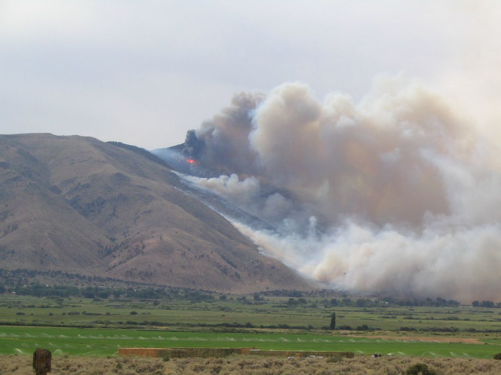 Lost Cannon TrailHiking · ~13 min drivePhoto: Ken Lund, CC BY-SA 2.0 (via Flickr)
 Little Long Valley RouteHiking · ~19 min drivePhoto: Ken Lund, CC BY-SA 2.0 (via Flickr)
- COYOTE CREEKHiking · ~2 min drive
 DrivewayHiking · ~20 min drivePhoto: jfdervin, CC BY-SA 2.0 (via Flickr)
- Corral ValleyHiking · ~19 min drivePhoto: jfdervin, CC BY-SA 2.0 (via Flickr)
- SPUR TRAILHiking · ~2 min drive
 Corral ValleyHiking · ~24 min drivePhoto: jfdervin, CC BY-SA 2.0 (via Flickr)
 Long Valley Creek RouteHiking · ~23 min drivePhoto: Kurt Minard, CC BY-SA 3.0 (via Wikimedia Commons)
- Coyote Creek TrailHiking · ~3 min drive
Also worth it near here
Best time to visit SAGHEN TRAIL
Best months: June–August. Best months have typical highs of 55–85 °F, lows of 30 °F or warmer (32 °F where the station doesn't record snow), at most one snowy day and no more than 12 wet days.
Jan
41° / 8°
7 wet
Feb
41° / 9°
7 wet
Mar
45° / 13°
6 wet
Apr
51° / 19°
5 wet
May
61° / 25°
5 wet
Jun
71° / 32°
4 wet
Jul
78° / 36°
4 wet
Aug
78° / 34°
3 wet
Sep
71° / 28°
2 wet
Oct
61° / 20°
3 wet
Nov
49° / 12°
5 wet
Dec
41° / 8°
7 wet
Typical high / low (°F) and days with rain or snow, 1991–2020. Measured at Bodie California St Historic P, CA, 27.6 mi away at 8,370 ft. This station doesn't record snowfall. Source: NOAA NCEI U.S. Climate Normals 1991–2020.

