Pillar Point RV Park
Campground
Campground · 1.9 mi from the trail
 Photo: btwashburn, CC BY 2.0 (via Flickr)
Ross' Cove Trail is an easy, short outing on county land in California, set within Pillar Point Bluff. The trail is about 0.45 miles long and rises about 175 feet from its starting point, which sits at roughly 160 feet. The route is an out-and-back, and the climb is rolling rather than steep, with the steepest stretch coming early on at about 9 percent grade. Summer and early fall are the most comfortable times to visit. Typical averages from the nearby Half Moon Bay weather station show highs around 65 to 66°F in July and August, with fewer wet days than the winter months, when highs stay near 59°F and rain falls on about 13 to 14 days a month. The trail takes about half an hour to complete, and it sits close to several other short walks. Pillar Point Bluff Trail is about 0.2 miles away, and Jean Lauer Trail is about 0.3 miles off. Bluff Trail and San Vicente Trail are both within a mile.
Pillar Point RV Park
Campground
Historical building, former farm, and museum in Half Moon Bay, California
Places © OpenStreetMap contributors
More in PescaderoNot on Roamze yet. Their page has how to reach them.
 Jean Lauer TrailHikingPhoto: MUSTAD MARINE, Public Domain Mark (via Flickr)0.3 mi
 Bluff TrailHikingPhoto: czarcats, CC BY 2.0 (via Flickr)0.8 mi
 San Vicente TrailHikingPhoto: btwashburn, CC BY 2.0 (via Flickr)0.9 mi
 Flat Top TrailHikingPhoto: MUSTAD MARINE, Public Domain Mark (via Flickr)1.1 mi
Source: Roamze catalog (indexable pages within 10 miles, PostGIS distance)
Jean Lauer TrailHiking · Next doorPhoto: MUSTAD MARINE, Public Domain Mark (via Flickr) French Trail (God's)Hiking · ~2 min drivePhoto: MUSTAD MARINE, Public Domain Mark (via Flickr)
 Alta Vista TrailHiking · ~7 min drivePhoto: scorpio-tiger, CC BY-SA 2.0 (via Flickr)
 Ross' Cove TrailHiking · Next doorPhoto: bgwashburn, CC BY 2.0 (via Flickr)Spine TrailHiking · ~2 min drivePhoto: btwashburn, CC BY 2.0 (via Flickr)Bluff TrailHiking · ~1 min drivePhoto: czarcats, CC BY 2.0 (via Flickr)
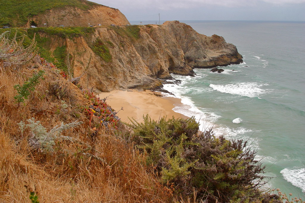 Gray Whale Cove TrailHiking · ~5 min drivePhoto: Wloski, CC BY-SA 2.0 (via Flickr)San Vicente TrailHiking · ~1 min drivePhoto: btwashburn, CC BY 2.0 (via Flickr)
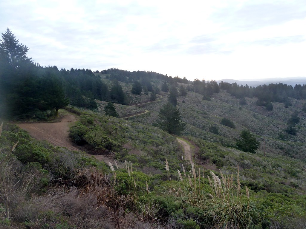 Scarpers TrailHiking · ~6 min drivePhoto: scorpio-tiger, CC BY-SA 2.0 (via Flickr)
Best months: April–November. Best months have typical highs of 55–85 °F, lows of 30 °F or warmer (32 °F where the station doesn't record snow), at most one snowy day and no more than 12 wet days.
Jan
59° / 43°
14 wet
Feb
59° / 43°
13 wet
Mar
60° / 44°
14 wet
Apr
61° / 45°
9 wet
May
62° / 48°
7 wet
Jun
64° / 50°
5 wet
Jul
65° / 53°
7 wet
Aug
66° / 54°
7 wet
Sep
66° / 51°
6 wet
Oct
66° / 48°
8 wet
Nov
63° / 45°
11 wet
Dec
59° / 43°
13 wet
Typical high / low (°F) and days with rain or snow, 1991–2020. Measured at Half Moon Bay, CA, 4.3 mi away at 27 ft. Source: NOAA NCEI U.S. Climate Normals 1991–2020.
Map and trail data © OpenStreetMap contributors

