Roller Coaster/Tunnel 10 Truck Trail
 Photo: Thor Liland Larsen from San Luis Obispo, USA, CC BY 2.0 (via Wikimedia Commons)
- 1.5 mi
- round trip
- 1,373 ft
- climb
- 1,901 ft
- high point
- Out and back
- route
- Jan–Dec
- best months
Is Roller Coaster/Tunnel 10 Truck Trail open right now?
Alert in the area
The Forest Service lists 3 alerts for Los Padres National Forest.
Los Padres Fire Use and Firearm Restrictions
Agency alert covering Los Padres National Forest · Order 05-07-00-26-05 · USFS · Los Padres National Forest
Santa Barbara Front Country Fire Use Restrictions
Agency alert covering Los Padres National Forest · Order 05-07-5406-01 · USFS · Los Padres National Forest
West Cuesta Fire Use Restrictions
Agency alert covering Santa Lucia Ranger District · Order 05-07-53-24-19 · USFS · Santa Lucia Ranger District
As of · Source: USFS · Los Padres National Forest. Agencies don't list every closure — check before you go.
Roller Coaster/Tunnel 10 Truck Trail is a moderate out-and-back hike in California's Los Padres National Forest, within the Santa Lucia Ranger District. The trail runs about 2.9 miles round trip, with a total elevation gain of 1,373 feet. It starts at an elevation of 1,877 feet and reaches a high point of 1,901 feet before returning to the trailhead. The steepest stretch comes early, about 0.45 miles in, where the grade reaches 22 percent. Summer is the most comfortable time to go, with typical highs around 80°F and almost no wet days from July through September, based on averages from a nearby weather station in San Luis Obispo. That station sits well below the trail, so temperatures on the route run cooler than those figures suggest. The hike pairs well with other nearby options. Tunnel 10 Truck Trail is about 0.2 miles away, and Shooters Trail, a mountain biking route, is about 0.1 miles off. Climbers can head to Chlorissa, roughly 3.9 miles away, and Cerro Alto Campground is about 7.9 miles out.
- Shooters TrailMountain biking0.1 mi
- Tunnel 10 Truck TrailHikingPhoto: Thor Liland Larsen from San Luis Obispo, USA, CC BY 2.0 (via Wikimedia Commons)0.2 mi
- Old School TrailMountain biking0.5 mi
- Artificial/Man-made WallsRock climbing2.1 mi
 ChlorissaRock climbingPhoto: hakkun, CC BY-SA 3.0 (via Wikimedia Commons)3.9 mi
- PeteRock climbing3.9 mi
- Cerro AltoCamping7.9 mi
- Santa Margarita Lake Recreation AreaLake fishing8.7 mi
Source: Roamze catalog (indexable pages within 10 miles, PostGIS distance)
- Tunnel 10 Truck TrailHiking · Next doorPhoto: Thor Liland Larsen from San Luis Obispo, USA, CC BY 2.0 (via Wikimedia Commons)
 Panorama TrailHiking · ~2 min drivePhoto: SDASM Archives, Public domain (via Wikimedia Commons)
- Lopez CanyonHiking · ~6 min drive
 Elevator TrailHiking · ~1 min drivePhoto: MattCC716, CC BY-SA 2.0 (via Flickr)
 What TrailHiking · ~5 min drivePhoto: sloalan, Public Domain Dedication (CC0) (via Flickr)
- Elevator TrailHiking · ~1 min drivePhoto: MattCC716, CC BY-SA 2.0 (via Flickr)
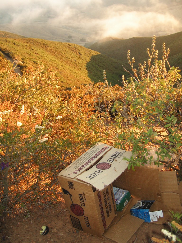 Secret TrailHiking · ~7 min drivePhoto: striatic, CC BY 2.0 (via Flickr)
 Stenner Creek TrailHiking · ~2 min drivePhoto: Payton Chung, CC BY 2.0 (via Flickr)
 Reservoir Canyon TrailHiking · ~7 min drivePhoto: hakkun, CC BY-SA 3.0 (via Wikimedia Commons)
 Roller Coaster / Truck TrailHiking · ~2 min drivePhoto: MattCC716, CC BY-SA 2.0 (via Flickr)
Also worth it near here
Best time to visit Roller Coaster/Tunnel 10 Truck Trail
Best months: Year-round. Best months have typical highs of 55–85 °F, lows of 30 °F or warmer (32 °F where the station doesn't record snow), at most one snowy day and no more than 12 wet days.
Jan
65° / 44°
9 wet
Feb
65° / 44°
9 wet
Mar
67° / 46°
8 wet
Apr
69° / 47°
4 wet
May
72° / 49°
2 wet
Jun
76° / 52°
1 wet
Jul
78° / 54°
0 wet
Aug
80° / 55°
0 wet
Sep
80° / 54°
1 wet
Oct
78° / 52°
3 wet
Nov
71° / 47°
5 wet
Dec
64° / 44°
8 wet
Typical high / low (°F) and days with rain or snow, 1991–2020. Measured at San Luis Obispo Poly, CA, 2.8 mi away at 308 ft. The station sits about 1,600 ft lower than this place, so expect it a little cooler here. Source: NOAA NCEI U.S. Climate Normals 1991–2020.

Map and trail data © OpenStreetMap contributors
