Robinson Flat
Campground
Campground · < 0.1 mi from the trail
Alert in the area
The Forest Service lists an alert for Tahoe National Forest.
Camping and Campfire Restrictions-Truckee and Sierraville Districts
Agency alert covering Tahoe National Forest · Order 17-25-05 · USFS · Tahoe National Forest
As of · Source: USFS · Tahoe National Forest. Agencies don't list every closure — check before you go.
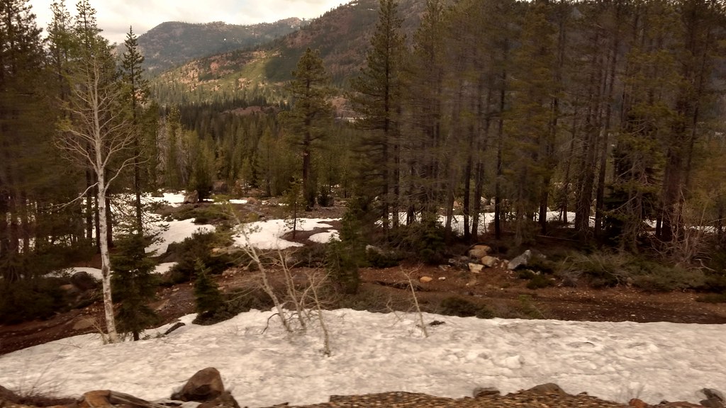
Robinson Flat Meadow Loop is a 1-mile, easy out-and-back hike in the American River Ranger District of Tahoe National Forest in California. It sits at about 6,700 feet, with the trail's low point at 6,691 feet and the high point at 6,718 feet, so the climb is a mere 11 feet. The Forest Service manages the land. The route is short and low, so it works well as a quick stop. It's a natural-surfaced trail, and it's open to bikes and horses, which makes it easy to ride or saddle up for a short outing. Summer is the most comfortable time to go. Typical averages from a nearby weather station in Tahoe City put July highs around 78°F with lows near 46°F and only about one wet day in the month. Winter is cold and snowy, with highs around 40°F and several snow days a month from December through February. The loop starts close to Robinson Flat campground and the Duncan Trail, both about 0.1 mile away, and Little Bald Mountain is about 0.7 mile off. Paddlers can find Duncan Creek about 3 miles away.
Robinson Flat
Campground
Places © OpenStreetMap contributors
More in Sunnyside-Tahoe CityNot on Roamze yet. Their page has how to reach them.
Source: Roamze catalog (indexable pages within 10 miles, PostGIS distance)
 Salmon Lake TrailHiking · ~15 min drivePhoto: PLeia2, CC BY 2.0 (via Flickr)
 Salmon Lake Tie TrailHiking · ~15 min drivePhoto: donner summit historical society, Public Domain Mark (via Flickr)
 Mears Lake ValleyHiking · ~16 min drivePhoto: Kurt Minard, CC BY-SA 3.0 (via Wikimedia Commons)Cherry Point TrailHiking · ~15 min drivePhoto: donner summit historical society, Public Domain Mark (via Flickr)
Best months: May–October. Best months have typical highs of 55–85 °F, lows of 30 °F or warmer (32 °F where the station doesn't record snow), at most one snowy day and no more than 12 wet days.
Jan
40° / 21°
11 wet · 7 snow
Feb
40° / 21°
10 wet · 7 snow
Mar
45° / 24°
10 wet · 7 snow
Apr
50° / 28°
8 wet · 4 snow
May
59° / 34°
7 wet · 1 snow
Jun
69° / 40°
3 wet
Jul
78° / 46°
1 wet
Aug
77° / 45°
2 wet
Sep
70° / 41°
2 wet
Oct
59° / 33°
4 wet · 1 snow
Nov
48° / 26°
7 wet · 3 snow
Dec
40° / 21°
10 wet · 6 snow
Typical high / low (°F) and days with rain or snow, 1991–2020. Measured at Tahoe City, CA, 19.4 mi away at 6,230 ft. Source: NOAA NCEI U.S. Climate Normals 1991–2020.

