Doc Moyle's Camp
Campground
Campground · 5.1 mi from the trail
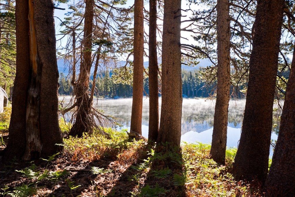
 Photo: Charkrem, CC BY 2.0 (via Flickr)
Closure in the area
There's a closure order in Yosemite National Park. It doesn't name Isberg Pass, so check the source for the area it covers (3 listed).
Big Oak Flat Road (continuation of Hwy 120 from the west) is closed
Park closure covering Yosemite National Park · NPS · Yosemite National Park
Campgrounds and Curry Village tent cabins are closed due to a winter storm
Park closure covering Yosemite National Park · NPS · Yosemite National Park
Tioga and Glacier Point Roads are closed due snow
Park closure covering Yosemite National Park · NPS · Yosemite National Park
As of · Source: NPS · Yosemite National Park. Agencies don't list every closure — check before you go.
Isberg Pass is an easy out-and-back hike of about 1.3 miles in California's Yosemite National Park, within the Yosemite Wilderness. The trail starts at an elevation of about 10,276 feet and rises roughly 236 feet to a high point of about 10,534 feet. The National Park Service manages the land. The pass makes a short addition to a day in the surrounding high country. Post Peak Pass lies just 0.2 miles away, and McClure Lake is about 1.6 miles off. Farther afield, the Post Peak mountain biking route is 1.8 miles away, and the North Fork San Joaquin River, a paddling destination, is about 5.9 miles away.
Doc Moyle's Camp
Campground
Carson Peak Inn
Restaurant
 If it rainsEeekster, CC BY 3.0 · Wikimedia Commons
Sierra Point
Viewpoint
Point in Yosemite National Park at the eastern end of the valley
Places © OpenStreetMap contributors · Photos: Eeekster, CC BY 3.0 (commons)
More in Yosemite ValleyNot on Roamze yet. Their page has how to reach them.
 Post Peak PassHikingPhoto: Jason Hollinger, CC BY 2.0 (via Wikimedia Commons)0.2 miMcclure LakeHikingPhoto: Jason Hollinger, CC BY 2.0 (via Wikimedia Commons)1.6 mi
Source: Roamze catalog (indexable pages within 10 miles, PostGIS distance)
Post Peak PassHiking · Next doorPhoto: Jason Hollinger, CC BY 2.0 (via Wikimedia Commons) Long CreekHiking · ~8 min drivePhoto: Tom Hilton, CC BY 2.0 (via Flickr)Mcclure LakeHiking · ~3 min drivePhoto: Jason Hollinger, CC BY 2.0 (via Wikimedia Commons)
 Red Peak PassHiking · ~11 min drivePhoto: Brandon.Levinger, CC BY 2.0 (via Flickr)Joe Crane LakeHiking · ~3 min drivePhoto: Jason Hollinger, CC BY 2.0 (via Wikimedia Commons)Cora SpurHiking · ~8 min drivePhoto: Tom Hilton, CC BY 2.0 (via Flickr)
Also worth it near here
 Triple Divide PeakSummit · ~4 min drivePhoto: LizardWizard, CC BY-SA 3.0 (via Wikimedia Commons)
 Chittenden LakeMountain biking · ~10 min drivePhoto: Guywelch2000, CC BY-SA 4.0 (via Wikimedia Commons)
