Boise Creek
Campground
Campground · 11 mi from the trail
Caution at last check
Weather is marginal · OpenWeather · checked 20 h ago
Prairie Trail is a 13.3-mile out-and-back hike on Bureau of Land Management land within the Arcata Field Office in California. The route rises from 2,299 feet to 2,596 feet, with a total elevation gain of 3,559 feet, and the most difficult stretch comes early at about 1.4 miles, where the grade reaches 20%. The trail is a hard hike, and the round trip takes about six hours. It starts at a lower point of 1,746 feet, which makes the climb steeper than the descent. Spring and fall are the most comfortable times to go. Typical averages from the Cecilville weather station, about 37 miles away, show May highs near 75°F and October highs near 70°F, while July averages run close to 96°F. Beaver Ridge Trail is just 0.1 mile away, and Flyette Prairie Trail is under a mile off. Supply Creek offers canoeing about 6 miles away, and the Cream Tower climbing area is roughly 6.5 miles away.
Boise Creek
Campground
Places © OpenStreetMap contributors, Places © Overture Maps Foundation
More in HoopaSource: Roamze catalog (indexable pages within 10 miles, PostGIS distance)
 Tall Trees TrailHiking · ~25 min drivePhoto: ilya_ktsn, CC BY 2.0 (via Flickr)
 Backdunes TrailHiking · ~25 min drivePhoto: Pussreboots, CC BY 2.0 (via Flickr)
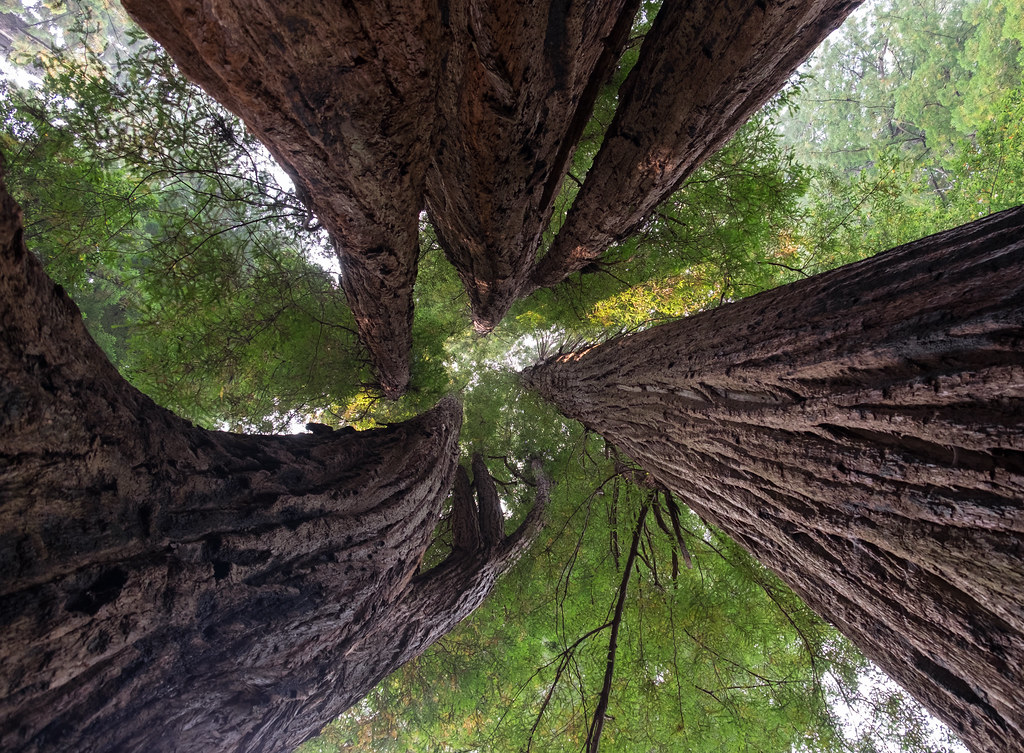 Tall Trees Loop TrailHiking · ~26 min drivePhoto: Justin Dolske, CC BY-SA 2.0 (via Flickr)
 Spruce City TrailHiking · ~27 min drivePhoto: Avulsionist, CC BY 2.0 (via Flickr)
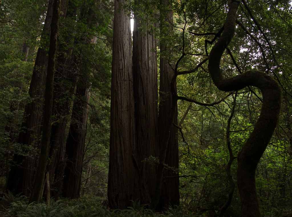 44 Camp TrailHiking · ~27 min drivePhoto: Justin Dolske, CC BY-SA 2.0 (via Flickr)
Best months: March–June and October. Best months have typical highs of 55–85 °F, lows of 30 °F or warmer (32 °F where the station doesn't record snow), at most one snowy day and no more than 12 wet days.
Jan
45° / 30°
Feb
51° / 31°
Mar
59° / 33°
Apr
66° / 36°
May
75° / 42°
Jun
85° / 46°
Jul
96° / 52°
Aug
94° / 50°
Sep
89° / 45°
Oct
70° / 37°
Nov
54° / 33°
Dec
43° / 30°
Typical high / low (°F) and days with rain or snow, 1991–2020. Measured at Cecilville, CA, 36.8 mi away at 2,310 ft. This station doesn't record snowfall. Source: NOAA NCEI U.S. Climate Normals 1991–2020.
Map and trail data © OpenStreetMap contributors
