44 Camp
Campground
Campground · 3.3 mi from the trail
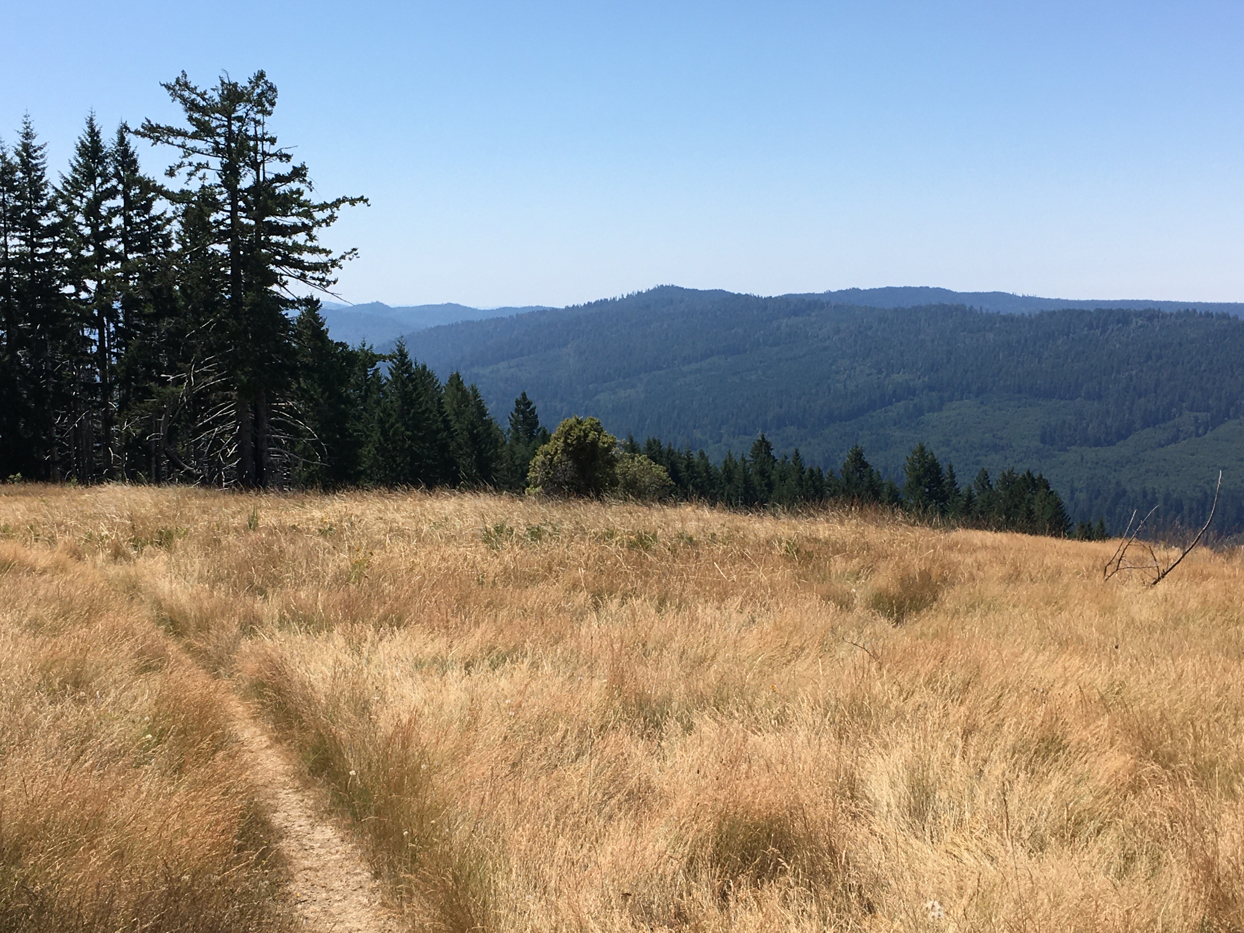 Photo: NPS Photo / G Litten
Alert in the area
The National Park Service lists an alert for Redwood National Park.
Delays along Highway 101
Park alert covering Redwood National Park · NPS · Redwood National Park
As of · Source: NPS · Redwood National Park. Agencies don't list every closure — check before you go.
A Hiker's Adventure Going From High Prairies Into A Deep River Valley This ten-mile trail is unique. It begins in the high meadows of the Bald Hills, passes a historic 19th century barn, and descends 2,500 feet into the heart of Redwood and Emerald Creeks. Then you have to climb back out. The views at the trailhead are across Redwood Creek to hillsides that were clearcut logged in the 1960s and 1970s. It was only in 1978 - when Redwood National Park was expanded - that most of the Redwood Creek watershed was protected. This expansion of the park's boundary included tens of thousands of acres of land that had been logged in the previous decade. The pockets of remaining old-growth redwoods groves stand out as dark-green squares set amongst the light-green of second-growth forests. The old-growth redwoods are hundreds of feet taller than the young forests that surround them. This trailead is also a good place for night sky viewing because it is above the fogline, and is far away from street or city light pollution. Safety Tips • We recommend you purchase and use a good map and trail guide for your adventures in Redwood National and State Parks. Don’t rely on online maps when you are here. • To protect the habitats, leave no trace also means staying on the developed trail. Please don’t go off-trail and make any new trails. These forests grow by the inch, and will die by your foot. • To protect the wildlife (and you and other visitors), pets are not allowed on park trails. • Cell coverage is very limited and cannot be relied on in an emergency. Have a plan for checking in, and checking out with a friend when you are here.
44 Camp
Campground
Places © OpenStreetMap contributors
More in Hoopa Tall Trees TrailHikingPhoto: ilya_ktsn, CC BY 2.0 (via Flickr)2.2 mi
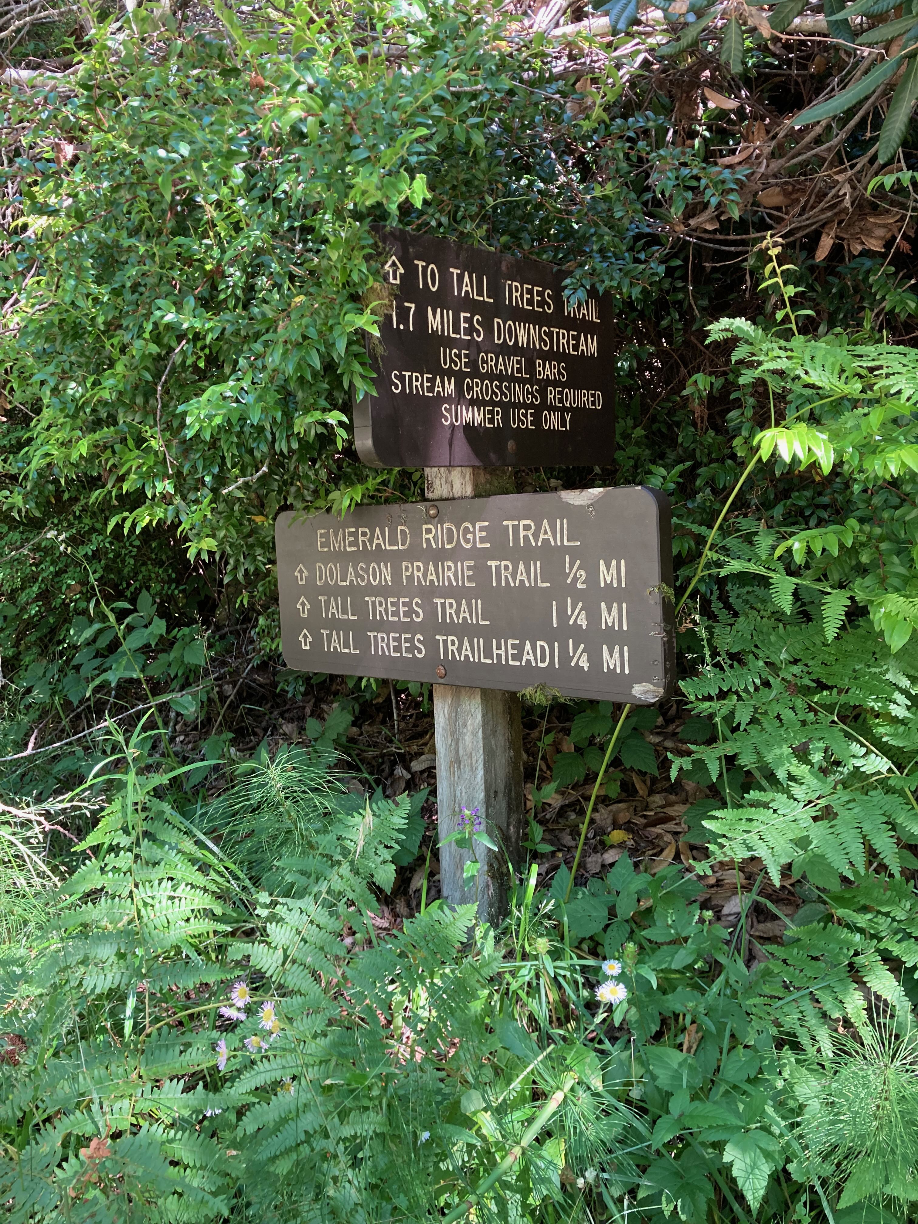 Emerald Ridge TrailHikingPhoto: Ted Humphry2.2 mi
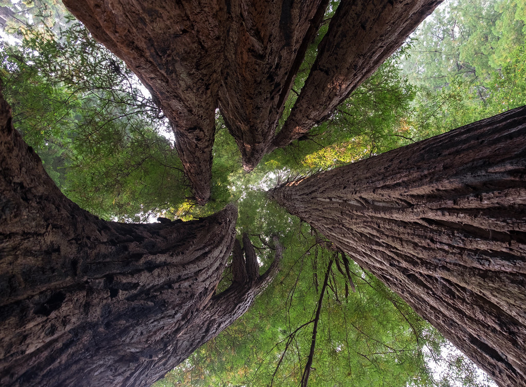 Tall Trees Loop TrailHikingPhoto: Justin Dolske, CC BY-SA 2.0 (via Flickr)3.2 mi
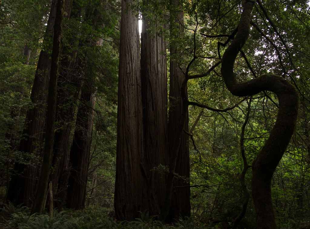 44 Camp TrailHikingPhoto: Justin Dolske, CC BY-SA 2.0 (via Flickr)3.3 mi
 Cormorant Rock and Awkward TurtleRock climbingPhoto: lamblukas, CC BY 2.0 (via Flickr)8.4 mi
Source: Roamze catalog (indexable pages within 10 miles, PostGIS distance)
Tall Trees TrailHiking · ~4 min drivePhoto: ilya_ktsn, CC BY 2.0 (via Flickr) Ridge LoopHiking · ~14 min drivePhoto: Wsiegmund, CC BY 2.5 (via Wikimedia Commons)Tall Trees Loop TrailHiking · ~5 min drivePhoto: Justin Dolske, CC BY-SA 2.0 (via Flickr)
 Redwood Creek TrailHiking · ~12 min drivePhoto: Aleksandr Zykov, CC BY-SA 2.0 (via Flickr)California Coastal TrailHiking · ~15 min drivePhoto: lamblukas, CC BY 2.0 (via Flickr)
Best months: March–June and October. Best months have typical highs of 55–85 °F, lows of 30 °F or warmer (32 °F where the station doesn't record snow), at most one snowy day and no more than 12 wet days.
Jan
45° / 30°
Feb
51° / 31°
Mar
59° / 33°
Apr
66° / 36°
May
75° / 42°
Jun
85° / 46°
Jul
96° / 52°
Aug
94° / 50°
Sep
89° / 45°
Oct
70° / 37°
Nov
54° / 33°
Dec
43° / 30°
Typical high / low (°F) and days with rain or snow, 1991–2020. Measured at Cecilville, CA, 42.5 mi away at 2,310 ft. This station doesn't record snowfall. Source: NOAA NCEI U.S. Climate Normals 1991–2020.

