Loading…

Free — you'll pick up right here.
Watch this trail
Sign up to watch it — saving subscribes you to gate, closure and report changes.
California
932 ft
Gain
We won't guess. Here is exactly what we do and don't know.
What we do know
Inside Redwood National Park
National Park unit boundary is mapped — agency alerts for it feed this page automatically.
Boundary data
What's missing
No access route mapped
We don't yet know which road reaches this trailhead, so we can't tell you if it's gated.
Nobody's filed a report here yet — be the first.
Why you'll love it
Emerald Ridge Trail
AI-suggested draft · review before you go
No permit or access details on file for this trail — check with the local land manager before you go.
<ul> <li> <p><strong>Location:</strong> Bald Hills Road, Redwood National Park</p> </li> <li> <p><strong>Trailhead</strong>: Begin trail from near Tall Trees Trailhead or at the junction along Dolason Prairie trail.</p> </li> <li> <p><strong>Mileage</strong>: 1.5 miles</p> </li> <li> <p><strong>Difficulty Level</strong>: Trail is steep and requires crossing a stream which may be cold and fast-flowing. Terrain includes loose dirt and gravel. </p> </li> <li><b>Parking: </b>Park at Dolason Prairie Trailhead or Tall Trees Trail (<a href="https://redwoodparksconservancy.org/tall-trees/">reservation required</a> for Tall Trees Trail parking). <span style="color:#e74c3c;">There is no RV or trailer parking.</span></li> </ul> <p><br /> As you descend 580 feet through dense old-growth forest to Redwood Creek, you will pass through an area narrowly saved from logging in the late 1960s. Follow the streambed (only in summer during low water) for 1.5 miles and hook up with the Tall Trees Trail. Climb out of the redwoods for a 4.3 mile trip.<br /> </p> <p><u><strong>Safety Tips</strong></u></p> <ul> <li> <p>Use a good map and trail guide for your adventures in Redwood National and State Parks. Don’t rely on online maps.</p> </li> <li> <p>To protect the habitats, leave no trace also means staying on the developed trail. Please don’t go off trail or make any new trails. These forests grow by the inch, and will die by your foot.</p> </li> <li> <p>To protect the wildlife (and you and other visitors), pets are not allowed on park trails.</p> </li> <li> <p>Cell coverage is very limited and cannot be relied on in an emergency. Have a plan for checking in and checking out with a friend when you are here.</p> </li> </ul>
Dolason Prairie Trail
~4 min drive
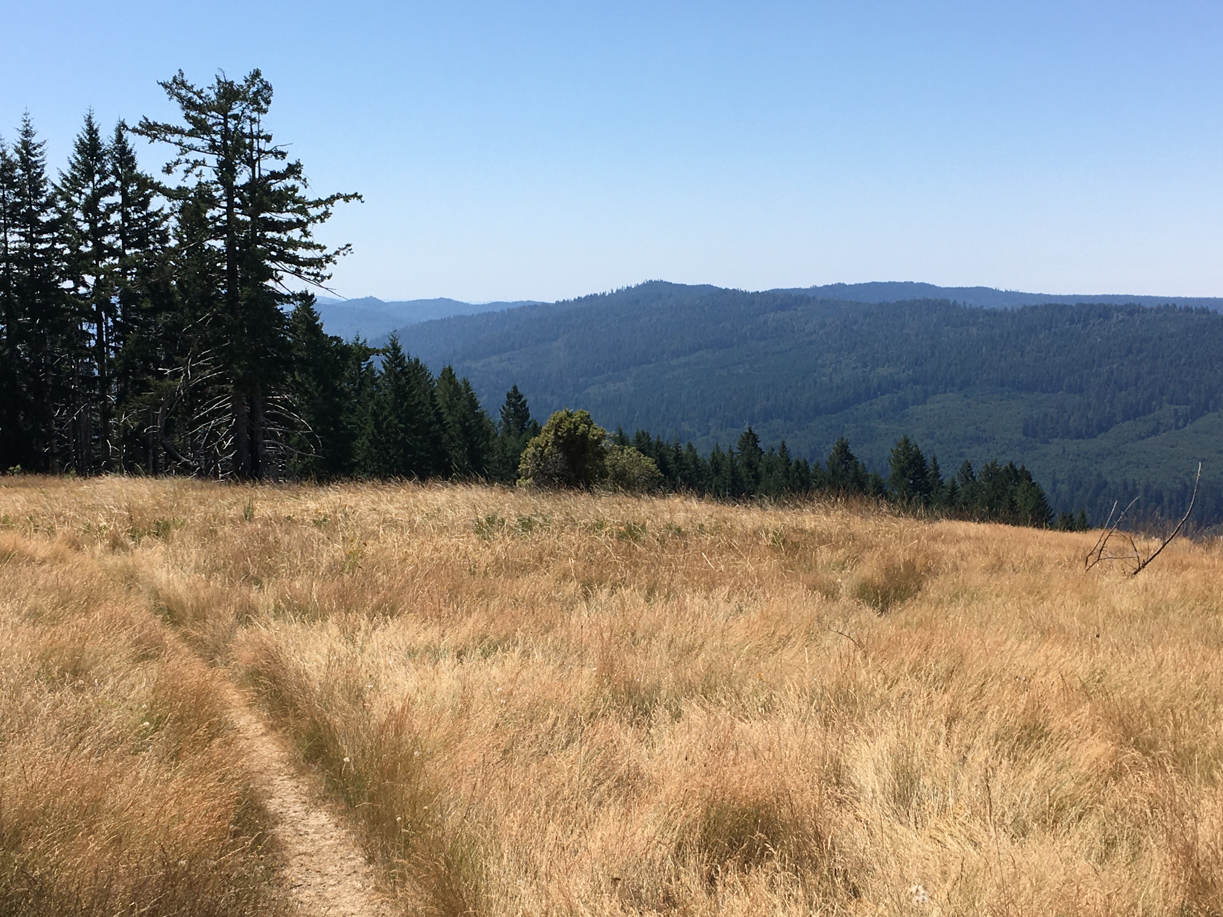
A Hiker's Adventure Going From High Prairies Into A Deep River Valley<br /> <br /> This ten-mile trail is unique. It begins in the high meadows of the Bald Hills, passes a historic 19th century barn, and descends 2,500 feet into the heart of Redwood and Emerald Creeks. Then yo…
Blue Lake
~27 min drive
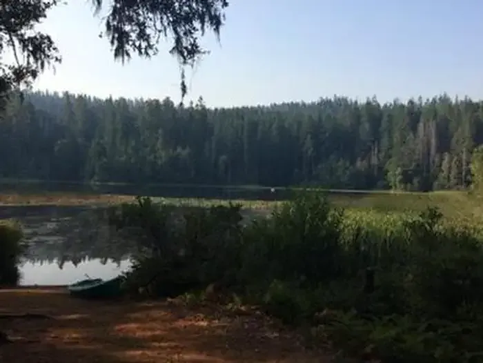
Easy 1.16-mile hike to a scenic alpine lake with 272 ft elevation gain.
Camp Creek
~39 min drive
Moderate 5-mile climb with 1,826 ft gain through creek-side forest.
Red Cap Hole
~47 min drive
Moderate 6-mile day hike with 803 ft elevation gain near Red Cap Hole.
Lyons Ranch Trailhead
~11 min drive
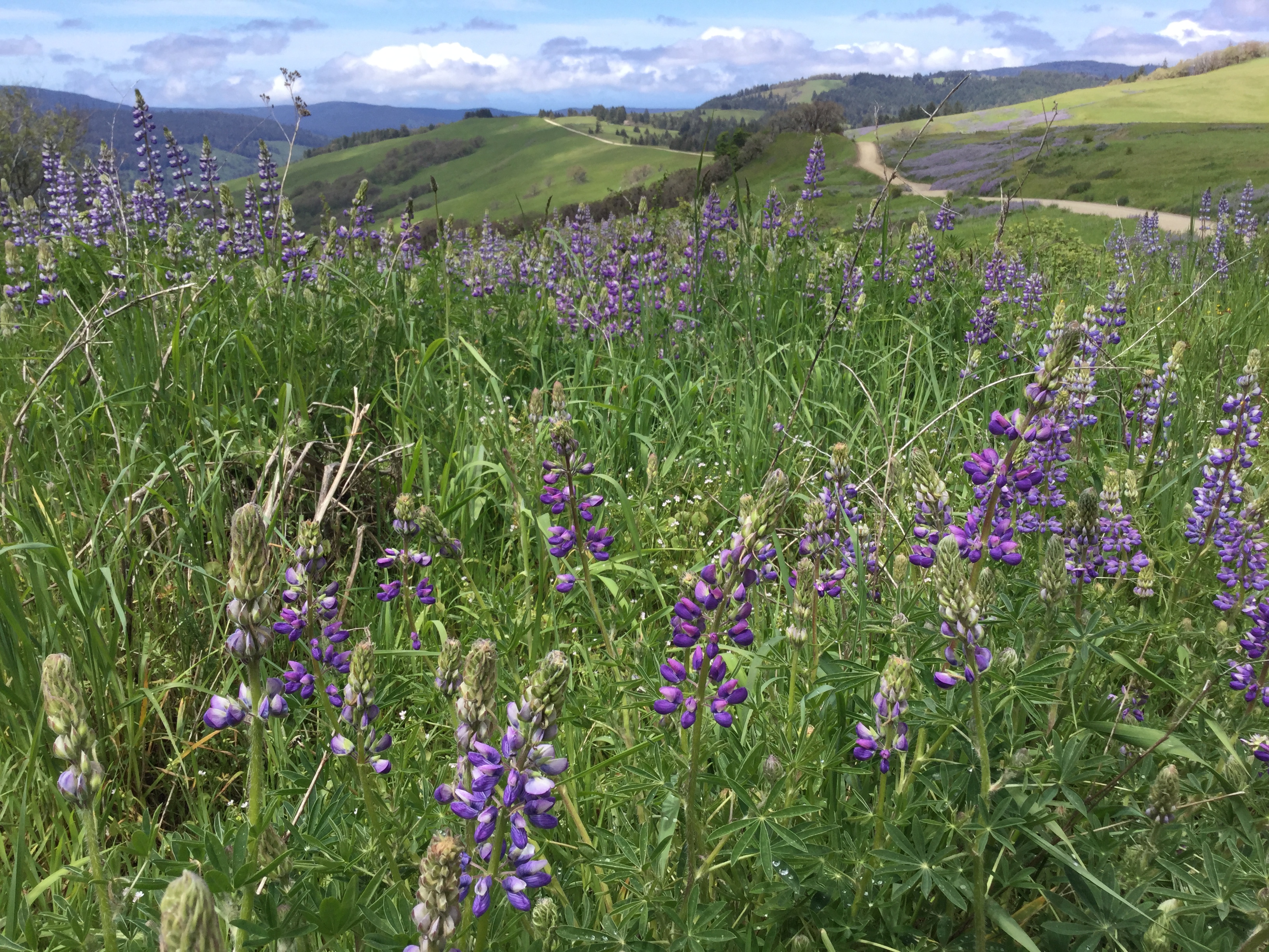
Located on the Bald Hills Road, this is the start/end of the four-mile roundtrip hike down to the historic Lyons Ranch. The Bald Hills Road is not recommended for recreational vehicles, campers or anything towing a trailer. <br /> <br /> This trailhead is about 2,500 feet in e…
Bluff Creek Historical Trail
~31 min drive
Steep historical trail with 1,497 ft gain through scenic California forest.
East Fork Blue Creek
~40 min drive
Moderate creek-side hike with 696 ft gain near Blue Creek drainage.
Prospect Hill
~44 min drive
Moderate 9.12-mile foothills hike with 1,353 ft elevation gain.
Redwood Creek Trail
~12 min drive
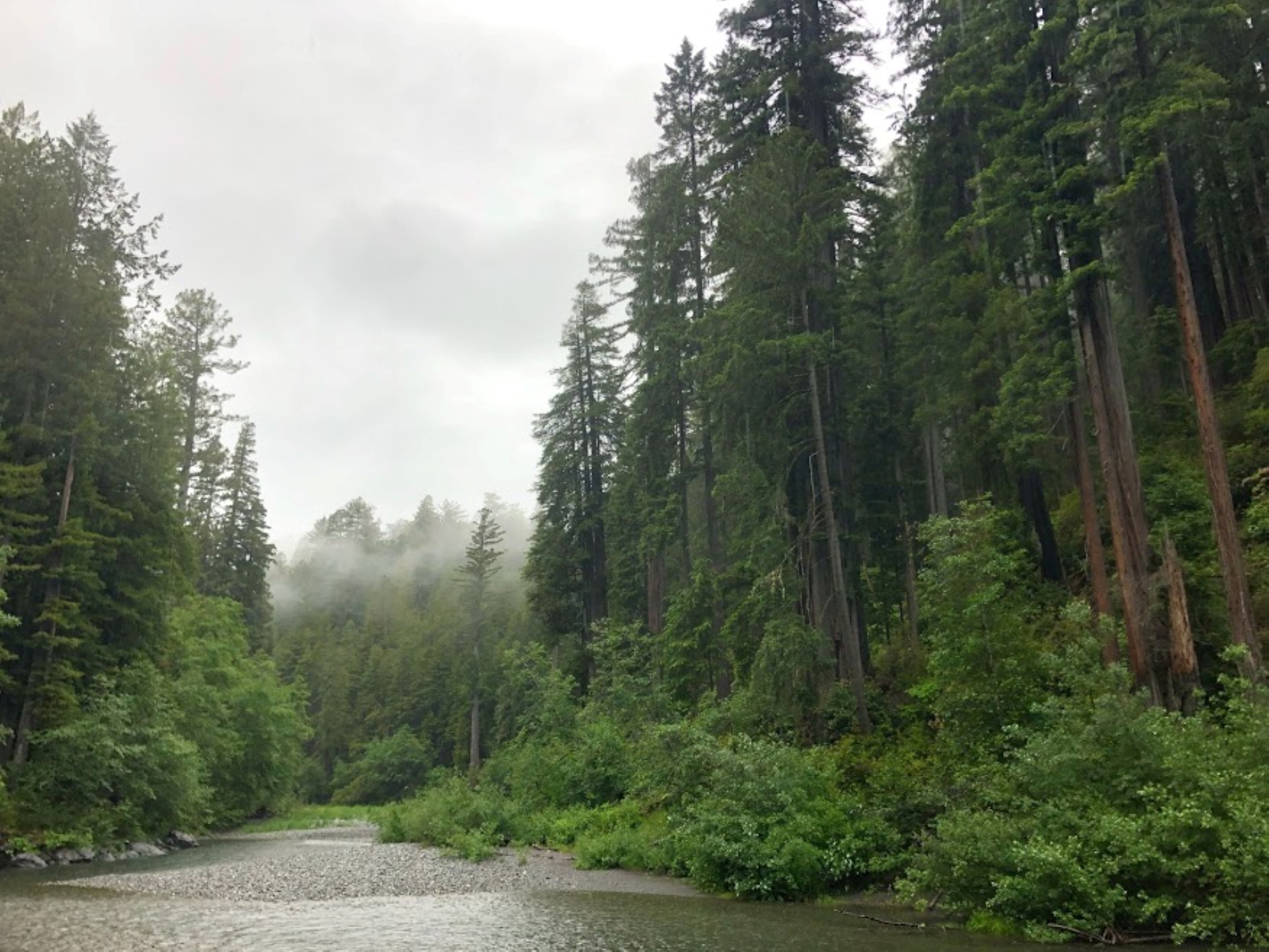
<ul> <li><strong>Location</strong>: Redwood National Park<br /> </li> <li> <p><strong>Trailhead</strong>: Marked trailhead is off Bald Hills Road. Trail can also be accessed via Tall Trees Grove Trail and Dolason Prairie Trail.</p> </li> <li> <p><strong>Mileage</strong>: 8 to…
Mill Creek Lakes Loop
~46 min drive
Easy alpine lake loop with scenic views and minimal elevation gain.