Coldwater Cg
Campground
Campground · 3.1 mi from the trail
 Photo: tobo, CC BY-SA 2.0 (via Flickr)
Alert in the area
The Forest Service lists 3 alerts for Inyo National Forest.
Help Halt Golden Mussel Invasion
Agency alert covering Inyo National Forest · USFS · Inyo National Forest
Ansel Adams and John Muir Wilderness Campfire Restrictions
Agency alert covering Inyo National Forest · Order 05-04-50-25-04 · USFS · Inyo National Forest
Golden Trout and Hoover Wilderness Campfire Restrictions
Agency alert covering Inyo National Forest · Order 05-04-50-25-05 · USFS · Inyo National Forest
As of · Source: USFS · Inyo National Forest. Agencies don't list every closure — check before you go.
Pika Lake is an easy out-and-back hike in the John Muir Wilderness, part of the Mammoth Ranger District of Inyo National Forest in California. The trail is about 2.2 miles long, with a one-way climb of roughly 300 feet from a low point of about 10,440 feet to a high of about 10,740 feet. The Forest Service manages the land, and the trail is natural-surfaced, not accessible, and allows horses but not bikes. The closest neighbors are Duck Pass, a mountain biking area about a mile away, and the Duck Pass Trail, a hike about 1.4 miles off. Climbers can head to the Talladega Nights Area and Seam Area, both about 2.2 miles away. For an overnight stay, Coldwater Campground is about 3.4 miles from the lake.
Coldwater Cg
Campground
Lakefront
Restaurant
Art Gallery at Twin Lakes
Gallery
Places © OpenStreetMap contributors
More in Mammoth LakesNot on Roamze yet. Their page has how to reach them.
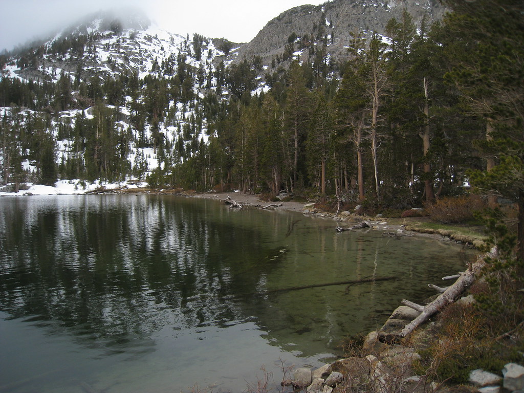 Photo: GSEC, CC BY 2.0 (via Flickr)
Woods Lakes
~2 min drive
2.23-mile out-and-back trail at Woods Lakes in California with 575 ft of elevation gain.
 Photo: Hike395 (talk · contribs), CC BY 3.0 (via Wikimedia Commons)
Sky Meadows
~4 min drive
Sky Meadows is a 4-mile out-and-back trail in California with 818 feet of elevation gain.
 Photo: GSEC, CC BY 2.0 (via Flickr)
Duck Pass
~4 min drive
7.22-mile out-and-back trail in California with 2,154 ft gain.
 Photo: GSEC, CC BY 2.0 (via Flickr)
Emerald Lake-Skelton Lake
~4 min drive
1.67-mile out-and-back trail to Emerald Lake-Skelton Lake in California.
 Photo: Leif, CC BY 2.0 (via Wikimedia Commons)
Purple Lake
~4 min drive
5.73-mile out-and-back trail to Purple Lake in California with 629 ft of elevation gain.
 Photo: GSEC, CC BY 2.0 (via Flickr)
LAUREL LAKE TO EDITH LAKE
~6 min drive
8.5-mile out-and-back hike from Laurel Lake to Edith Lake in California
 Photo: Jim Morefield, CC BY-SA 2.0 (via Flickr)
Heart Lake
~4 min drive
0.40-mile out-and-back trail to Heart Lake in California.
Photo: Hike395 (talk · contribs), CC BY 3.0 (via Wikimedia Commons)Coldwater Campground to Lake George Trail
~4 min drive
4.66-mile out-and-back hike from Coldwater Campground to Lake George in California.
 Photo: GSEC, CC BY 2.0 (via Flickr)
Laurel Lake to Edith Lake Trail
~7 min drive
8.16-mile out-and-back hike from Laurel Lake to Edith Lake in California, 3,162 ft gain/loss.
 Photo: inkknife_2000 (14 million views), CC BY-SA 2.0 (via Flickr)
Coldwater Cg to Lake George
~4 min drive
0.28-mile out-and-back trail to Lake George in California.


