Coldwater Cg
Campground
Campground · 1.7 mi from the trail
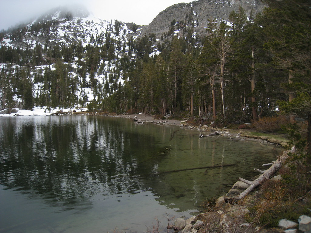 Photo: GSEC, CC BY 2.0 (via Flickr)
Alert in the area
The Forest Service lists 3 alerts for Inyo National Forest.
Help Halt Golden Mussel Invasion
Agency alert covering Inyo National Forest · USFS · Inyo National Forest
Ansel Adams and John Muir Wilderness Campfire Restrictions
Agency alert covering Inyo National Forest · Order 05-04-50-25-04 · USFS · Inyo National Forest
Golden Trout and Hoover Wilderness Campfire Restrictions
Agency alert covering Inyo National Forest · Order 05-04-50-25-05 · USFS · Inyo National Forest
As of · Source: USFS · Inyo National Forest. Agencies don't list every closure — check before you go.
Woods Lakes is an easy out-and-back hike in California's John Muir Wilderness, within the Mammoth Ranger District of Inyo National Forest. The trail is managed by the Forest Service and runs about 2.2 miles, with a total elevation gain of 283 feet from a low point of 9,870 feet to a high of 10,177 feet. The route is natural-surface and allows horses, and it is not an accessible trail. Bikes are not permitted. The trail is open year-round. Summer is the most comfortable time to go. Typical averages from a nearby weather station at Tuolumne Meadows, which sits about 1,500 feet lower, show July highs around 71°F and lows near 38°F. That station's figures are not directly comparable to conditions on this trail, which sits higher. Emerald Lake-Skelton Lake and Duck Pass, both mountain biking routes, are within half a mile. The Talladega Nights Area climbing spot is about 0.8 miles away, and Coldwater Campground is about 2 miles off.
Coldwater Cg
Campground
Lakefront
Restaurant
Art Gallery at Twin Lakes
Gallery
Places © OpenStreetMap contributors
More in Mammoth LakesNot on Roamze yet. Their page has how to reach them.
Best months: June–September. Best months have typical highs of 55–85 °F, lows of 30 °F or warmer (32 °F where the station doesn't record snow), at most one snowy day and no more than 12 wet days.
Jan
41° / 13°
Feb
38° / 12°
Mar
42° / 15°
Apr
45° / 22°
May
54° / 27°
Jun
65° / 33°
Jul
71° / 38°
Aug
70° / 36°
Sep
65° / 32°
Oct
57° / 26°
Nov
47° / 20°
Dec
40° / 12°
Typical high / low (°F) and days with rain or snow, 1991–2020. Measured at Tuolumne Meadows Rs, CA, 28.9 mi away at 8,694 ft. The station sits about 1,500 ft lower than this place, so expect it a little cooler here. This station doesn't record snowfall. Source: NOAA NCEI U.S. Climate Normals 1991–2020.
 Photo: Hike395 (talk · contribs), CC BY 3.0 (via Wikimedia Commons)
Sky Meadows
~1 min drive
Sky Meadows is a 4-mile out-and-back trail in California with 818 feet of elevation gain.
 Photo: GSEC, CC BY 2.0 (via Flickr)
Duck Pass
~2 min drive
7.22-mile out-and-back trail in California with 2,154 ft gain.
 Photo: Jim Morefield, CC BY-SA 2.0 (via Flickr)
Heart Lake
~2 min drive
0.40-mile out-and-back trail to Heart Lake in California.
Photo: Hike395 (talk · contribs), CC BY 3.0 (via Wikimedia Commons)Coldwater Campground to Lake George Trail
~2 min drive
4.66-mile out-and-back hike from Coldwater Campground to Lake George in California.
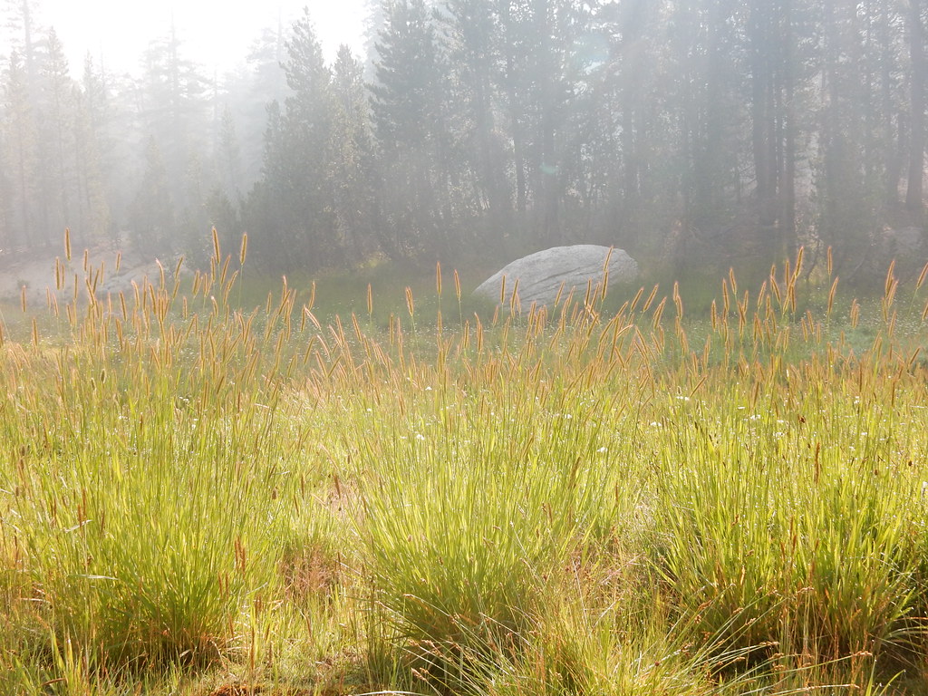 Photo: Matt Lavin, CC BY-SA 2.0 (via Flickr)
Pumice Butte
~6 min drive
3.87-mile out-and-back trail to Pumice Butte in California.
 Photo: inkknife_2000 (14 million views), CC BY-SA 2.0 (via Flickr)
Coldwater Cg to Lake George
~2 min drive
0.28-mile out-and-back trail to Lake George in California.
 Photo: inkknife_2000 (14 million views), CC BY-SA 2.0 (via Flickr)
Mammoth Crest
~4 min drive
Mammoth Crest is a 3.31-mile out-and-back trail in California with 1,213 feet of elevation gain.
HIKE
Fish Creek
~6 min drive
9.14-mile hard out-and-back trail in California.
Photo: Jim Morefield, CC BY-SA 2.0 (via Flickr)Heart Lake
~2 min drive
2.1-mile out-and-back trail in California with 445 ft elevation gain.
 Photo: inkknife_2000 (14 million views), CC BY-SA 2.0 (via Flickr)
Mammoth Crest
~5 min drive
4.4-mile out-and-back trail in California with 1,274 ft elevation gain.
Also worth it near here

