Woods Lake Cg
Campground
Campground · 1.4 mi from the trail
 Photo: Dana L. Brown, CC BY-SA 2.0 (via Flickr)
Closure in the area
There's a closure order in Humboldt-Toiyabe National Forest. It doesn't name PACIFIC CREST TRAIL, so check the source for the area it covers.
Elephant Fire Closure
Agency closure covering Humboldt-Toiyabe National Forest · Order 04-17-26-01-04 · USFS · Humboldt-Toiyabe National Forest
Floriston Fire Closure
Agency alert covering Carson Ranger District · Order 17-26-24 · USFS · Carson Ranger District
Power line construction along SR 88, Alpine County, California (Carson Ranger District)
Agency alert covering Carson Ranger District · USFS · Carson Ranger District
Help Halt Golden Mussel Invasion
Agency alert covering Eldorado National Forest · USFS · Eldorado National Forest
Over-Snow Vehicle Closure (Carson Ranger District)
Agency alert covering Carson Ranger District · Order 04-17-25-12 · USFS · Carson Ranger District
As of · Source: USFS · Humboldt-Toiyabe National Forest. Agencies don't list every closure — check before you go.
The Pacific Crest Trail's short stretch in California is an out-and-back hike of about 2.3 miles in the Mokelumne Wilderness, part of the Amador and Carson ranger districts of the Eldorado National Forest and the Humboldt-Toiyabe National Forest. The Forest Service manages the land. The trail starts at 9,047 feet and reaches a high point of 9,047 feet, so it is a loop with no net gain. The climb is rolling, and the steepest section is near the beginning, where the grade peaks at about 12%. The route is rated easy and takes about an hour. Carson Pass to Lake Winnemucca Trail lies just 0.2 miles away, and the Carson Pass to Lake Winnemucca Trail is about 0.8 miles off. Climbers can head to Green Wall Cliff, about a mile away, and Woods Lake Campground is about 1.4 miles away.
Woods Lake Cg
Campground
Alpine County Museum
Museum
Places © OpenStreetMap contributors
More in Bear ValleyNot on Roamze yet. Their page has how to reach them.
Carson Pass to Lake Winnemucca TrailHikingPhoto: Dana L. Brown, CC BY-SA 2.0 (via Flickr)0.2 miSource: Roamze catalog (indexable pages within 10 miles, PostGIS distance)
Carson Pass to Lake Winnemucca TrailHiking · Next doorPhoto: Dana L. Brown, CC BY-SA 2.0 (via Flickr) Camp Irene TrailHiking · ~2 min drivePhoto: jfdervin, CC BY-SA 2.0 (via Flickr)
 Pacific Crest TrailHiking · ~5 min drivePhoto: jfdervin, CC BY-SA 2.0 (via Flickr)
 WOODS LAKE XCHiking · ~2 min drivePhoto: jfdervin, CC BY-SA 2.0 (via Flickr)
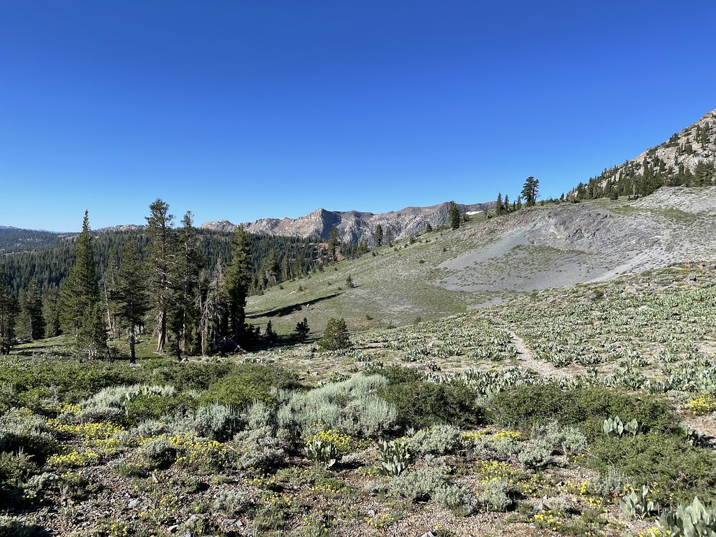 Summit CityHiking · ~3 min drivePhoto: jfdervin, CC BY-SA 2.0 (via Flickr)
 CRATER LAKE TRAILHiking · ~5 min drivePhoto: Ken Lund, CC BY-SA 2.0 (via Flickr)
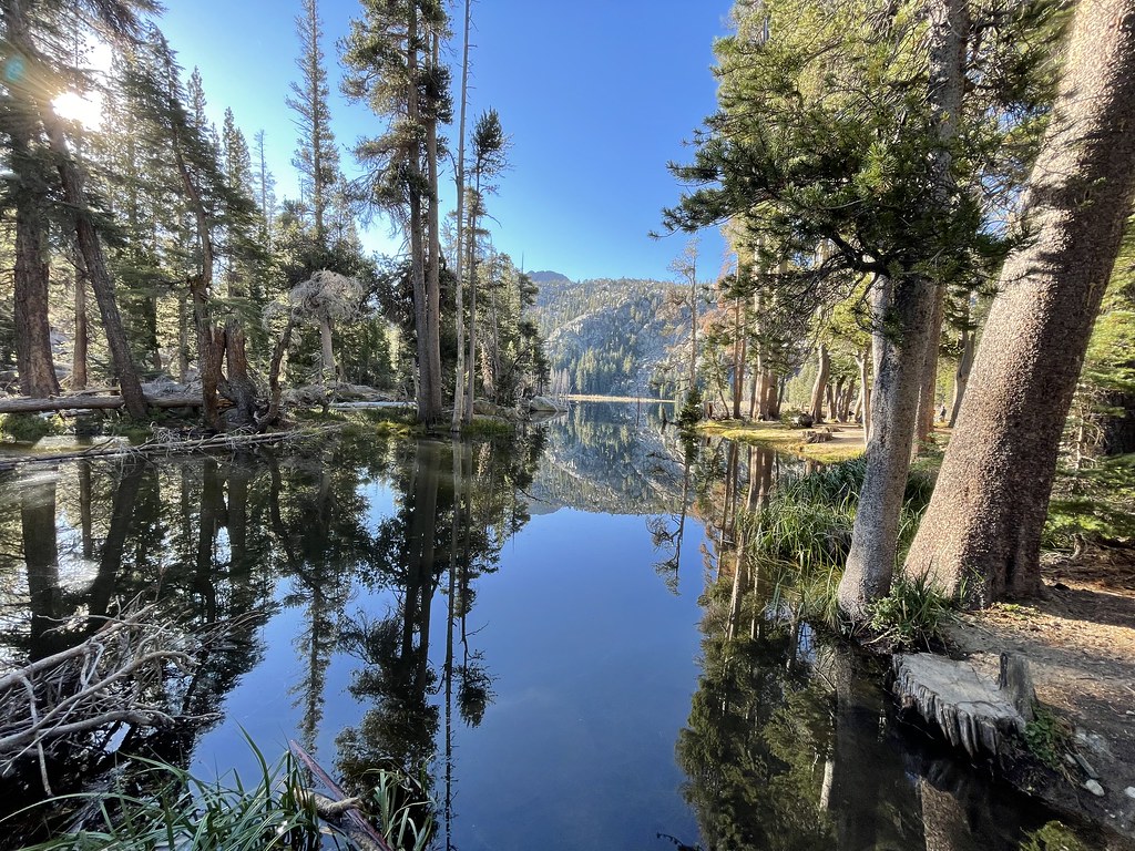 Winnemucca TrailHiking · ~2 min drivePhoto: jfdervin, CC BY-SA 2.0 (via Flickr)
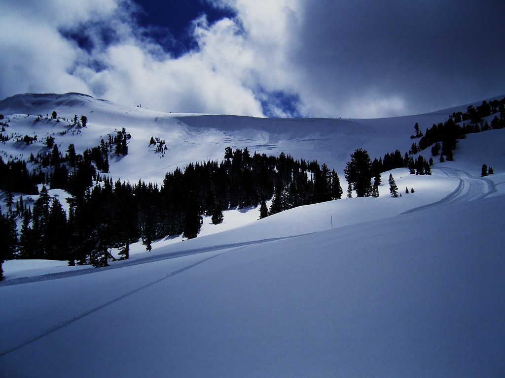 Silver Lake-Horse Canyon TrailHiking · ~7 min drivePhoto: JLH PHOTO, CC BY 2.0 (via Flickr)Carson Emigrant National Recreational TrailHiking · ~6 min drivePhoto: JLH PHOTO, CC BY 2.0 (via Flickr)Round Top LakeHiking · ~3 min drivePhoto: jfdervin, CC BY-SA 2.0 (via Flickr)

