
Hope Valley Campground
Campground
2.1 mi from the trail
 Photo: Ken Lund, CC BY-SA 2.0 (via Flickr)
Crater Lake Trail is a moderate, out-and-back hike in California's Humboldt-Toiyabe National Forest, within the Carson Ranger District. The trail is about 6 miles long, with a one-way elevation gain of 1,918 feet from a starting point of 8,069 feet to a high point of 9,014 feet. The trail makes an easy pairing with other outings in the area. Hope Valley Campground lies about 2 miles away, and the Pacific Crest Trail and the Woods Lake XC hike are both about 2.5 miles off. Woods Lake Campground is roughly 3.6 miles away.
Where it is: Carson Ranger District · Humboldt-Toiyabe National Forest
Been here? Tell people how it was.
 Pacific Crest TrailHikingPhoto: jfdervin, CC BY-SA 2.0 (via Flickr)2.5 mi
 WOODS LAKE XCHikingPhoto: jfdervin, CC BY-SA 2.0 (via Flickr)2.5 miPacific Crest TrailHikingPhoto: jfdervin, CC BY-SA 2.0 (via Flickr)~4 min driveWOODS LAKE XCHikingPhoto: jfdervin, CC BY-SA 2.0 (via Flickr)~4 min drive
 Camp Irene TrailHikingPhoto: jfdervin, CC BY-SA 2.0 (via Flickr)~7 min drive
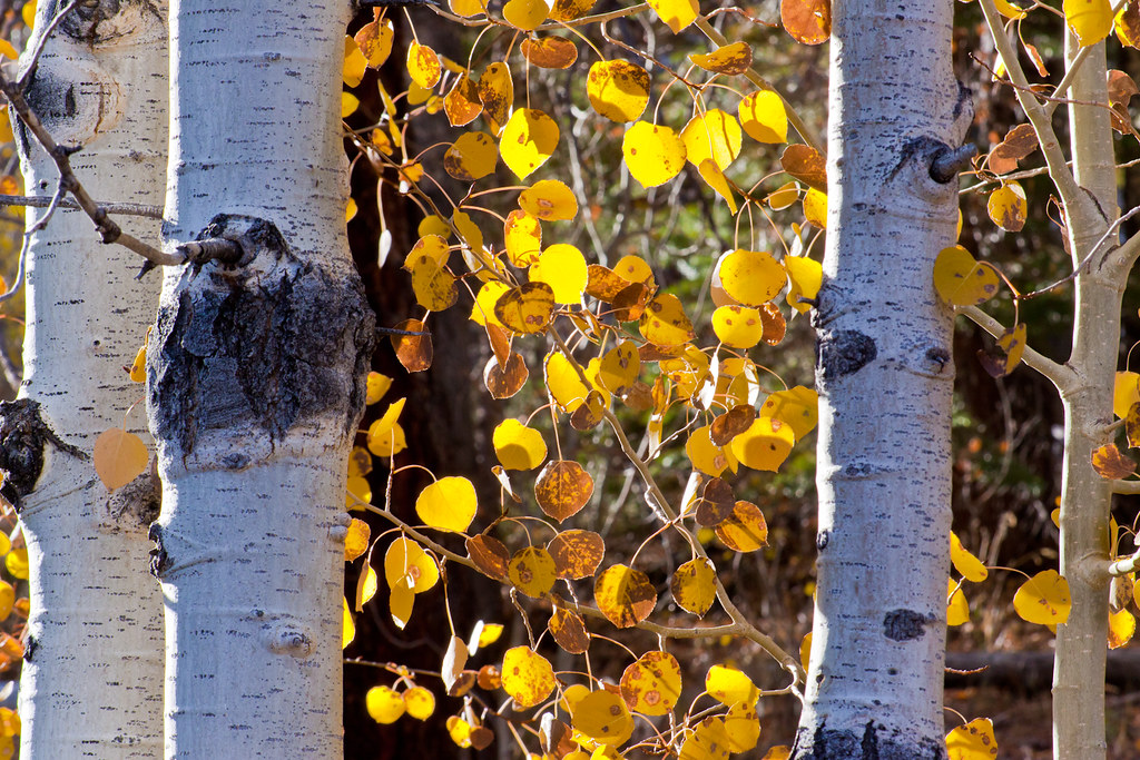 Luther ScottsHikingPhoto: Brandon.Levinger, CC BY 2.0 (via Flickr)~5 min driveScotts TrailHikingPhoto: Brandon.Levinger, CC BY 2.0 (via Flickr)~5 min drive
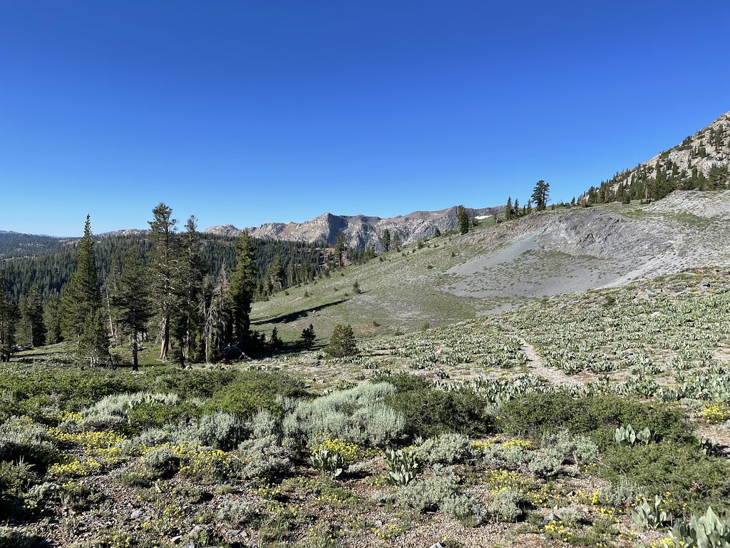 Summit CityHikingPhoto: jfdervin, CC BY-SA 2.0 (via Flickr)~8 min drive
 Schneider Camp TrailHikingPhoto: jfdervin, CC BY-SA 2.0 (via Flickr)~8 min drive
 Scotts Lake TrailHikingPhoto: jfdervin, CC BY-SA 2.0 (via Flickr)~5 min drive
 Emigrant LakeHikingPhoto: Ken Lund, CC BY-SA 2.0 (via Flickr)~10 min drive
 Pickett Peak TrailHikingPhoto: UncleVinny, CC BY 3.0 (via Wikimedia Commons)~8 min drive
Daily highs and lows, wind and the chance of precipitation at Start for the next 7 days, from the Open-Meteo model.
Questions about Crater Lake Trail: conditions, access, timing. Answers say when something isn't known.
Hope Valley Campground
Campground
Kirkwood Inn
Restaurant
Alpine County Museum
Museum
Places © OpenStreetMap contributors
More in Bear ValleyNot on Roamze yet. Their page has how to reach them.
