Mesquite Flat Dunes
 Photo: Juhele_CZ, Public Domain Dedication (CC0) (via Flickr)
- 0.8 mi
- round trip
- 10 ft
- climb
- Out and back
- route
- Easy
- difficulty
- Nov–Mar
- best months
Is Mesquite Flat Dunes open right now?
No closures listed
The National Park Service lists no closures for Death Valley National Park.
As of · Source: NPS · Death Valley National Park. Agencies don't list every closure — check before you go.
Mesquite Flat Dunes is a 1.64-mile out-and-back trail in California's Death Valley National Park. The route gains 10 feet of elevation and follows the same path in both directions.
 Little Bridge CanyonHiking · ~2 min drivePhoto: RuggyBearLA, CC BY 2.0 (via Flickr)
 Mosaic Canyon TrailHiking · ~6 min drivePhoto: Greg Willis from Denver, CO, usa, CC BY-SA 2.0 (via Wikimedia Commons)
 Salt Creek Interpretive Trail BoardwalkHiking · ~12 min drivePhoto: Miguel Discart & Kiri Karma (Photos Vrac), CC BY-SA 2.0 (via Flickr)
 Indian PassHiking · ~23 min drivePhoto: Ken Lund, CC BY-SA 2.0 (via Flickr)
 Kit Fox Hills TrailHiking · ~8 min drivePhoto: GSEC, CC BY 2.0 (via Flickr)
 Telephone CanyonHiking · ~16 min drivePhoto: GSEC, CC BY 2.0 (via Flickr)
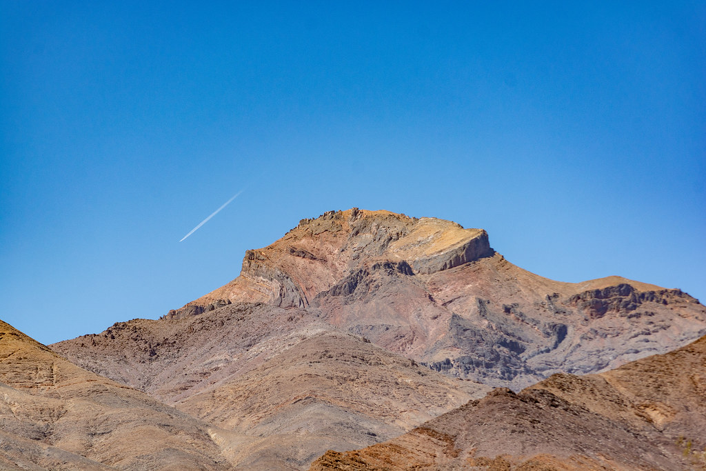 Death Valley ButtesHiking · ~18 min drivePhoto: RuggyBearLA, CC BY 2.0 (via Flickr)
 Titanothere CanyonHiking · ~27 min drivePhoto: RuggyBearLA, CC BY 2.0 (via Flickr)
 Corkscrew Peak TrailHiking · ~21 min drivePhoto: Greg Willis from Denver, CO, usa, CC BY-SA 2.0 (via Wikimedia Commons)
 Keane Wonder Mine TrailHiking · ~22 min drivePhoto: GSEC, CC BY 2.0 (via Flickr)
Best time to visit Mesquite Flat Dunes
Best months: November–March. Best months have typical highs of 55–85 °F, lows of 30 °F or warmer (32 °F where the station doesn't record snow), at most one snowy day and no more than 12 wet days.
Jan
65° / 42°
3 wet
Feb
71° / 49°
3 wet
Mar
79° / 57°
3 wet
Apr
88° / 64°
1 wet
May
98° / 73°
2 wet
Jun
109° / 83°
2 wet
Jul
115° / 90°
1 wet
Aug
113° / 87°
1 wet
Sep
105° / 79°
1 wet
Oct
89° / 65°
1 wet
Nov
74° / 51°
1 wet
Dec
63° / 41°
2 wet
Typical high / low (°F) and days with rain or snow, 1991–2020. Measured at Stovepipe Wells 1 Sw, CA, 1.7 mi away at 84 ft. We don't have this place's elevation, so higher spots nearby can run cooler. This station doesn't record snowfall. Source: NOAA NCEI U.S. Climate Normals 1991–2020.

