Cottonwood Pass Walk In Campground
Campground
Campground · 5.9 mi from the trail
Caution today
Agency alerts are in effect for this area; weather is good · USFS, OpenWeather · checked 8 h ago
Alert in the area
The Forest Service lists 3 alerts for Inyo National Forest.
Help Halt Golden Mussel Invasion
Agency alert covering Inyo National Forest · USFS · Inyo National Forest
Ansel Adams and John Muir Wilderness Campfire Restrictions
Agency alert covering Inyo National Forest · Order 05-04-50-25-04 · USFS · Inyo National Forest
Golden Trout and Hoover Wilderness Campfire Restrictions
Agency alert covering Inyo National Forest · Order 05-04-50-25-05 · USFS · Inyo National Forest
As of · Source: USFS · Inyo National Forest. Agencies don't list every closure — check before you go.
Mulkey Meadow-Templeton Meadow is a 6-mile out-and-back hike in the Golden Trout Wilderness, within the Mt. Whitney Ranger District of Inyo National Forest in California. The trail climbs from a low point of about 8,600 feet to a high of about 9,300 feet, with an elevation gain of 708 feet one way, and it is rated moderate. The Forest Service manages the land, and the trail is open year-round. It's a natural-surface route that is accessible to horses but not to bikes or to people using wheelchairs. For a longer outing, the McConnell Meadow Trail lies about 1.7 miles away, and Tunnel Cutoff is about 2.8 miles off. Camping is available at Cottonwood Pass Walk In Campground, about 5.9 miles away, and Cottonwood Lakes Walk In Campground, about 6.3 miles away.
Cottonwood Pass Walk In Campground
Campground
Kern Hot Spring
Hot spring
Places © OpenStreetMap contributors, Places © Overture Maps Foundation
More in Silver CityNot on Roamze yet. Their page has how to reach them.
 McConnell Meadow TrailHikingPhoto: danhurt, CC BY-SA 2.0 (via Flickr)1.7 mi
 Tunnel CutoffHikingPhoto: danhurt, CC BY-SA 2.0 (via Flickr)2.8 mi
 Mulkey Meadow - Templeton Meadow TrailHikingPhoto: danhurt, CC BY-SA 2.0 (via Flickr)2.9 mi
 Kern PeakHikingPhoto: danhurt, CC BY-SA 2.0 (via Flickr)3 miTRAIL PASSHikingPhoto: danhurt, CC BY-SA 2.0 (via Flickr)3 mi
 Lone Pine AreaRock climbingPhoto: Jesse Wagstaff, CC BY 2.0 (via Flickr)6.4 mi
Source: Roamze catalog (indexable pages within 10 miles, PostGIS distance)
McConnell Meadow TrailHiking · ~3 min drivePhoto: danhurt, CC BY-SA 2.0 (via Flickr)Tunnel CutoffHiking · ~5 min drivePhoto: danhurt, CC BY-SA 2.0 (via Flickr)Mulkey Meadow - Templeton Meadow TrailHiking · ~5 min drivePhoto: danhurt, CC BY-SA 2.0 (via Flickr) Mount NewcombHiking · ~10 min drivePhoto: danhurt, CC BY-SA 2.0 (via Flickr)TRAIL PASSHiking · ~5 min drivePhoto: danhurt, CC BY-SA 2.0 (via Flickr)Kern PeakHiking · ~5 min drivePhoto: danhurt, CC BY-SA 2.0 (via Flickr)Kern Peak TrailHiking · ~6 min drivePhoto: danhurt, CC BY-SA 2.0 (via Flickr)
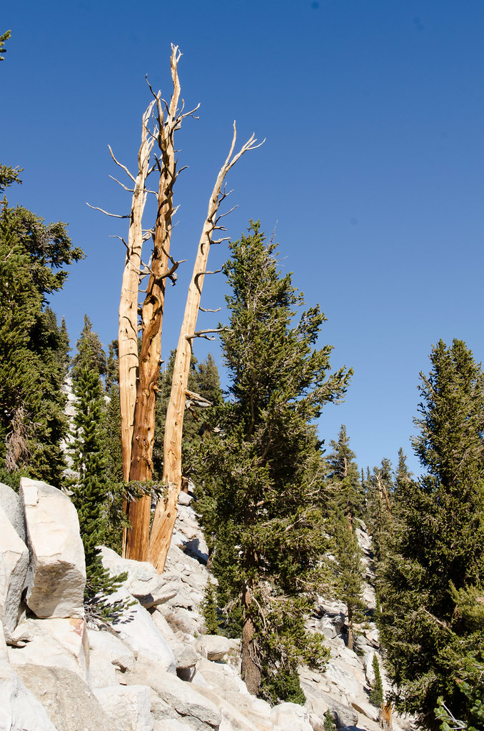 Cottonwood Pass TrailHiking · ~9 min drivePhoto: danhurt, CC BY-SA 2.0 (via Flickr)Siberian PassHiking · ~6 min drivePhoto: danhurt, CC BY-SA 2.0 (via Flickr)
 Siberian Pass TrailHiking · ~9 min drivePhoto: danhurt, CC BY-SA 2.0 (via Flickr)

