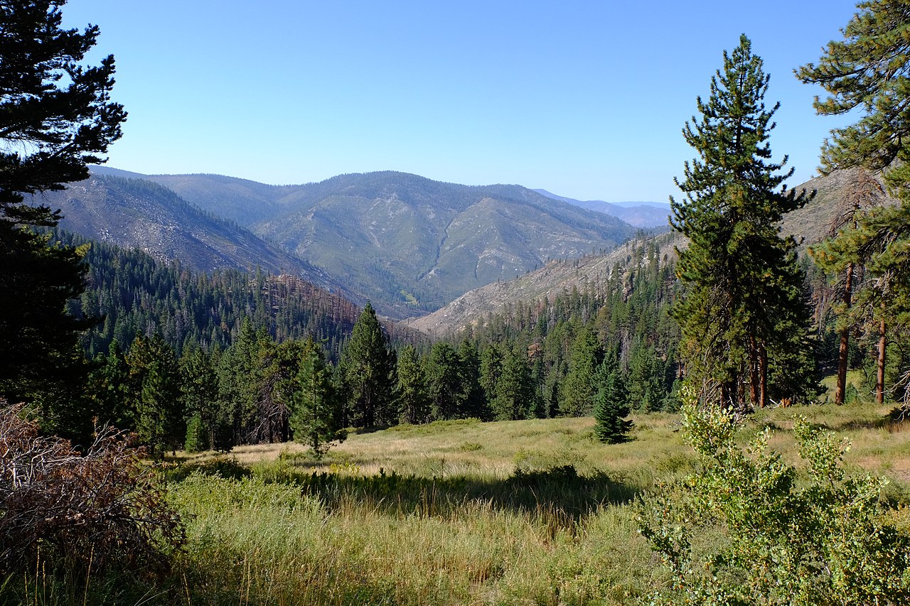
Irene’s Camp
Campground
Campground · 7.7 mi from the trail
 Photo: danhurt, CC BY-SA 2.0 (via Flickr)
Alert in the area
The Forest Service lists 3 alerts for Inyo National Forest.
Help Halt Golden Mussel Invasion
Agency alert covering Inyo National Forest · USFS · Inyo National Forest
Ansel Adams and John Muir Wilderness Campfire Restrictions
Agency alert covering Inyo National Forest · Order 05-04-50-25-04 · USFS · Inyo National Forest
Golden Trout and Hoover Wilderness Campfire Restrictions
Agency alert covering Inyo National Forest · Order 05-04-50-25-05 · USFS · Inyo National Forest
As of · Source: USFS · Inyo National Forest. Agencies don't list every closure — check before you go.
Kern Peak is a moderate out-and-back hike in California's Golden Trout Wilderness, within the Mt. Whitney Ranger District of Inyo National Forest. The trail runs about 3.7 miles, with a one-way elevation gain of 720 feet, from a low point of 8,698 feet to a high point of 9,430 feet. The Forest Service manages the land, and the route is natural-surface, not accessible, and allows horses but not bikes. The Kern Peak Trail lies about 1.3 miles away, and the Ramshaw Meadow Trail and Siberian Pass are also within about a mile and a half. For an overnight base, Cottonwood Pass Walk In Campground is roughly 8.6 miles off.
Irene’s Camp
Campground
Whitney Portal Store
Restaurant
Kern Hot Spring
Hot spring
Places © OpenStreetMap contributors
More in Silver CityNot on Roamze yet. Their page has how to reach them.
 Photo: danhurt, CC BY-SA 2.0 (via Flickr)
Ramshaw Meadow Trail
~2 min drive
12.9-mile out-and-back hike in California with 1,428 ft elevation gain.
Photo: danhurt, CC BY-SA 2.0 (via Flickr)Siberian Pass
~2 min drive
0.57-mile out-and-back trail at Siberian Pass in California with 50 ft of elevation gain.
Photo: danhurt, CC BY-SA 2.0 (via Flickr)Tunnel Cutoff
~3 min drive
2.13-mile loop trail in California with 460 ft gain and 579 ft loss.
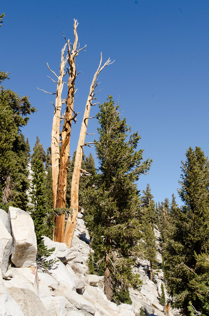 Photo: danhurt, CC BY-SA 2.0 (via Flickr)
Cottonwood Pass Trail
~13 min drive
9.46-mile out-and-back hike in California with 2,248 ft elevation gain and loss.
Photo: danhurt, CC BY-SA 2.0 (via Flickr)Kern Peak Trail
~2 min drive
10.56-mile out-and-back in California with 3,444 ft gain/loss, max 11,466 ft.
Photo: danhurt, CC BY-SA 2.0 (via Flickr)TRAIL PASS
~3 min drive
1.48-mile out-and-back trail with 354 ft elevation gain and loss in California
 Photo: danhurt, CC BY-SA 2.0 (via Flickr)
Siberian Pass Trail
~10 min drive
7.24-mile out-and-back trail in California with 1,528 ft elevation gain and loss.
HIKE
Strawberry Meadows to Monache Trail
~8 min drive
14.32-mile out-and-back from Strawberry Meadows to Monache Trail in California
Photo: danhurt, CC BY-SA 2.0 (via Flickr)Golden Trout Creek Trail
~3 min drive
12.8-mile out-and-back trail in California with 1,515 ft elevation gain
 Photo: danhurt, CC BY-SA 2.0 (via Flickr)
McConnell Meadow Trail
~4 min drive
1.36-mile out-and-back hike in California with 347 ft elevation gain.