Irene’s Camp
Campground
Campground · 7.0 mi from the trail
 Photo: danhurt, CC BY-SA 2.0 (via Flickr)
Alert in the area
The Forest Service lists 3 alerts for Inyo National Forest.
Help Halt Golden Mussel Invasion
Agency alert covering Inyo National Forest · USFS · Inyo National Forest
Ansel Adams and John Muir Wilderness Campfire Restrictions
Agency alert covering Inyo National Forest · Order 05-04-50-25-04 · USFS · Inyo National Forest
Golden Trout and Hoover Wilderness Campfire Restrictions
Agency alert covering Inyo National Forest · Order 05-04-50-25-05 · USFS · Inyo National Forest
As of · Source: USFS · Inyo National Forest. Agencies don't list every closure — check before you go.
Siberian Pass is a short, easy out-and-back hike in the Golden Trout Wilderness, part of the Mt. Whitney Ranger District of Inyo National Forest. The Forest Service manages the land, and the pass sits within designated wilderness, so it falls under the rules that apply to protected backcountry. The route is about half a mile long, with a one-way climb of about 35 feet from a low point of roughly 8,927 feet to a high of about 8,965 feet. That makes it a quick stop rather than a full-day outing. Kern Peak Trail and Ramshaw Meadow Trail both start about 0.2 miles away, and Tunnel Cutoff is about 0.7 miles off. For an overnight base, Cottonwood Pass Walk In Campground lies about 8.6 miles away.
Irene’s Camp
Campground
Whitney Portal Store
Restaurant
Kern Hot Spring
Hot spring
Places © OpenStreetMap contributors
More in Silver CityNot on Roamze yet. Their page has how to reach them.
Photo: danhurt, CC BY-SA 2.0 (via Flickr)Ramshaw Meadow Trail
Next door
12.9-mile out-and-back hike in California with 1,428 ft elevation gain.
Photo: danhurt, CC BY-SA 2.0 (via Flickr)TRAIL PASS
~1 min drive
1.48-mile out-and-back trail with 354 ft elevation gain and loss in California
Photo: danhurt, CC BY-SA 2.0 (via Flickr)Tunnel Cutoff
~2 min drive
2.13-mile loop trail in California with 460 ft gain and 579 ft loss.
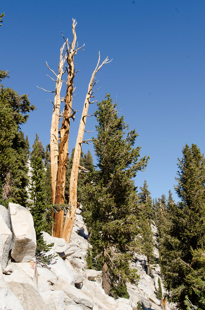 Photo: danhurt, CC BY-SA 2.0 (via Flickr)
Cottonwood Pass Trail
~12 min drive
9.46-mile out-and-back hike in California with 2,248 ft elevation gain and loss.
Photo: danhurt, CC BY-SA 2.0 (via Flickr)Golden Trout Creek Trail
~2 min drive
12.8-mile out-and-back trail in California with 1,515 ft elevation gain
 Photo: danhurt, CC BY-SA 2.0 (via Flickr)
McConnell Meadow Trail
~4 min drive
1.36-mile out-and-back hike in California with 347 ft elevation gain.
 Photo: danhurt, CC BY-SA 2.0 (via Flickr)
Kern Peak
~2 min drive
3.68-mile out-and-back trail at Kern Peak with 914 ft elevation gain
HIKE
Strawberry Meadows to Monache Trail
~10 min drive
14.32-mile out-and-back from Strawberry Meadows to Monache Trail in California
Photo: danhurt, CC BY-SA 2.0 (via Flickr)Volcano Meadow
~2 min drive
8.66-mile out-and-back trail in California with 475 ft elevation gain.
 Photo: danhurt, CC BY-SA 2.0 (via Flickr)
Siberian Pass Cutoff Trail
~9 min drive
2.52-mile out-and-back trail in California with 379 ft elevation gain
