Mosquito Flat Backpacker Cg
Campground
Campground · 5.9 mi from the trail
 Photo: GSEC, CC BY 2.0 (via Flickr)
Alert in the area
The Forest Service lists 3 alerts for Inyo National Forest.
Help Halt Golden Mussel Invasion
Agency alert covering Inyo National Forest · USFS · Inyo National Forest
Ansel Adams and John Muir Wilderness Campfire Restrictions
Agency alert covering Inyo National Forest · Order 05-04-50-25-04 · USFS · Inyo National Forest
Golden Trout and Hoover Wilderness Campfire Restrictions
Agency alert covering Inyo National Forest · Order 05-04-50-25-05 · USFS · Inyo National Forest
As of · Source: USFS · Inyo National Forest. Agencies don't list every closure — check before you go.
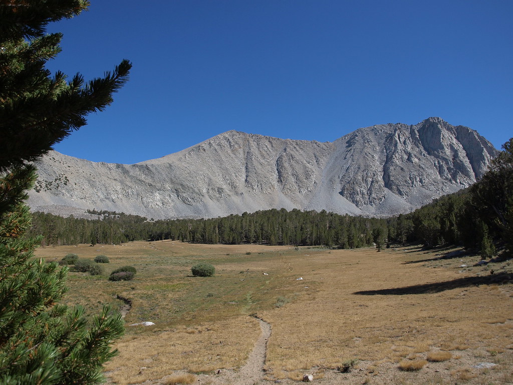
Mount Julius Caesar is a high, steep out-and-back hike in California's Inyo National Forest, within the White Mountain Ranger District. The route is about 19.5 miles long, with a total elevation gain of 6,308 feet, and the summit sits at 13,196 feet. The climb is rated expert, and the Forest Service manages the land. The trip is a long day. Plan on about 9.5 hours, and expect to gain and lose roughly 6,300 feet over the course of the hike. The high point is the summit itself, and the route is an out-and-back, so the total gain and loss are the same. Merriam Peak and Gable Lakes both lie about 0.1 mile away, and the climbing areas La Escuela and Uptown Rock - Upper Tier are within half a mile. For an overnight base, Mosquito Flat Backpacker Campground is about 5.9 miles off.
Mosquito Flat Backpacker Cg
Campground
Paiute-Shoshone Indian Cultural Center
Museum
Places © OpenStreetMap contributors, Places © Overture Maps Foundation
More in BishopNot on Roamze yet. Their page has how to reach them.
Daily highs and lows, wind and the chance of precipitation at the summit and route start for the next 7 days, from the Open-Meteo model.
 Merriam PeakHikingPhoto: GSEC, CC BY 2.0 (via Flickr)0.1 miGable LakesHikingPhoto: GSEC, CC BY 2.0 (via Flickr)0.1 mi
 La EscuelaRock climbingPhoto: GSEC, CC BY 2.0 (via Flickr)0.4 miUptown Rock - Upper TierRock climbingPhoto: GSEC, CC BY 2.0 (via Flickr)0.5 mi
Source: Roamze catalog (indexable pages within 10 miles, PostGIS distance)
Gable LakesHiking · Next doorPhoto: GSEC, CC BY 2.0 (via Flickr)Morgan Mine RoadHiking · Next doorPhoto: GSEC, CC BY 2.0 (via Flickr) Pine Creek PassHiking · Next doorPhoto: GSEC, CC BY 2.0 (via Flickr)
 Mount TomHiking · ~9 min drivePhoto: mjhbower, CC BY-SA 2.0 (via Flickr)
 Morgan PassHiking · ~4 min drivePhoto: GSEC, CC BY 2.0 (via Flickr)Gable LakesHiking · Next doorPhoto: GSEC, CC BY 2.0 (via Flickr)
 Dorothy Lake Loop TrailHiking · ~9 min drivePhoto: Jim Morefield, CC BY-SA 2.0 (via Flickr)
 Ruby PeakHiking · ~10 min drivePhoto: GSEC, CC BY 2.0 (via Flickr)
 DOROTHY LAKE LOOPHiking · ~12 min drivePhoto: GSEC, CC BY 2.0 (via Flickr)
 Little Lakes ValleyHiking · ~10 min drivePhoto: GSEC, CC BY 2.0 (via Flickr)
Also worth it near here
La EscuelaRock climbing · Next doorPhoto: GSEC, CC BY 2.0 (via Flickr) Mount MorganSummit · ~7 min drivePhoto: Gregory Bryson from San Diego, CA, USA, CC BY 2.0 (via Wikimedia Commons)
About 19.5 mi round trip from Pine Creek Trailhead.
About 6,308 ft of climbing round trip.
It is rated expert.
Pine Creek Trailhead.
© openrouteservice.org by HeiGIT | Map data © OpenStreetMap contributors
