Mosquito Flat Backpacker Cg
Campground
Campground · 0.4 mi from the trail
 Photo: GSEC, CC BY 2.0 (via Flickr)
Alert in the area
The Forest Service lists 3 alerts for Inyo National Forest.
Help Halt Golden Mussel Invasion
Agency alert covering Inyo National Forest · USFS · Inyo National Forest
Ansel Adams and John Muir Wilderness Campfire Restrictions
Agency alert covering Inyo National Forest · Order 05-04-50-25-04 · USFS · Inyo National Forest
Golden Trout and Hoover Wilderness Campfire Restrictions
Agency alert covering Inyo National Forest · Order 05-04-50-25-05 · USFS · Inyo National Forest
As of · Source: USFS · Inyo National Forest. Agencies don't list every closure — check before you go.
Little Lakes Valley is a 6.2-mile out-and-back hike in California's John Muir Wilderness, within the White Mountain Ranger District of Inyo National Forest. The trail climbs from about 10,384 feet to 11,109 feet, a gain of 752 feet, and is rated hard. The Forest Service manages the land, and the route is natural-surfaced, with horses allowed and bikes not. The trail is open year-round, and the surrounding area offers several other destinations within a short distance. Mono Pass, a mountain biking route, sits just 0.1 mile away, and the Eastern Brook Lakes Trail and Mosquito Flat Backpacker Campground are each about 0.4 mile off. Starr Wall, a climbing area, is roughly 0.7 mile away.
Mosquito Flat Backpacker Cg
Campground
Hot Spring
Hot spring
Places © OpenStreetMap contributors, Places © Overture Maps Foundation
More in Mammoth LakesNot on Roamze yet. Their page has how to reach them.
 Starr WallRock climbingPhoto: Tom Hilton, CC BY 2.0 (via Flickr)0.7 mi
 Little Lakes Valley & Mono RecessesRock climbingPhoto: jfdervin, CC BY-SA 2.0 (via Flickr)1.6 mi
Source: Roamze catalog (indexable pages within 10 miles, PostGIS distance)
Eastern Brooks LakeHiking · Next doorPhoto: GSEC, CC BY 2.0 (via Flickr)Mount AbbotHiking · Next doorPhoto: GSEC, CC BY 2.0 (via Flickr) Hilton Lakes TrailHiking · ~3 min drivePhoto: Moo.The.Cow, CC BY 2.0 (via Flickr)
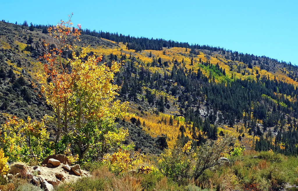 HILTON LAKESHiking · ~4 min drivePhoto: inkknife_2000 (14 million views), CC BY-SA 2.0 (via Flickr)
 Ruby LakeHiking · ~2 min drivePhoto: feverblue, CC BY-SA 2.0 (via Flickr)
 Ruby PeakHiking · Next doorPhoto: GSEC, CC BY 2.0 (via Flickr)
 Third Recess LakeHiking · ~5 min drivePhoto: feverblue, CC BY-SA 2.0 (via Flickr)
 Upper Rock Creek CanyonHiking · ~5 min drivePhoto: inkknife_2000 (14 million views), CC BY-SA 2.0 (via Flickr)
 Long LakeHiking · ~3 min drivePhoto: GSEC, CC BY 2.0 (via Flickr)
 Broken Finger PeakHiking · ~3 min drivePhoto: docentjoyce, CC BY 2.0 (via Flickr)
Also worth it near here

