Minaret Mine
- 3.9 mi
- round trip
- 665 ft
- climb
- 9,770 ft
- high point
- Out and back
- route
Caution today
Agency alerts are in effect for this area; weather is good · USFS, OpenWeather · checked 6 h ago
Minaret Mine is a moderate out-and-back hike in California's Ansel Adams Wilderness, within the Mammoth Ranger District of Inyo National Forest. The trail is managed by the Forest Service and runs about 3.9 miles round trip, with a total elevation gain of 665 feet from a low point of 9,091 feet to a high of 9,770 feet. The route is natural-surface and not accessible. Horses are allowed, but bikes are not. The trail is open year-round. Summer is the most comfortable time to go. Typical averages from a nearby weather station at Tuolumne Meadows, which sits about 1,000 feet lower, show July highs around 71°F and lows near 38°F. Winter is cold, with January highs around 41°F and lows near 13°F. Minaret Creek lies about half a mile away, and Beck Lakes Trail is about 1.4 miles off. Minaret Falls Campground and the Ritter & Minarets climbing area are both within about 3 miles.
Local outfitters
- Mammoth Lakes Pack Outfit8 mi away
- Bishop Pack Outfitters41 mi away
Not on Roamze yet. Their page has how to reach them.
- Minaret CreekHiking0.5 mi
- Beck Lakes TrailHiking1.4 mi
- Middle Fork San Joaquin RiverCanoeing2.4 mi
- Minaret Falls CampgroundCamping2.9 mi
- Soda Springs CampgroundCamping3.1 mi
- Ritter & MinaretsRock climbing3.2 mi
- North Fork San Joaquin RiverCanoeing5.4 mi
 Mammoth CrestRock climbingPhoto: mjhbower, CC BY-SA 2.0 (via Flickr)6.5 mi
Source: Roamze catalog (indexable pages within 10 miles, PostGIS distance)
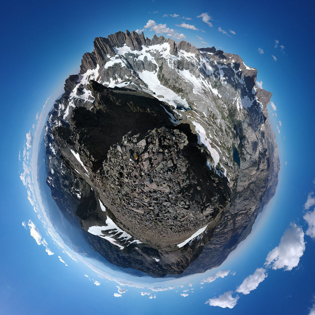 Cecile LakeHiking · ~3 min drivePhoto: breic, CC BY 2.0 (via Flickr)
 Superior Lake TrailHiking · ~4 min drivePhoto: Steve Montgomery, CC BY-SA 3.0 (via Wikimedia Commons)
 John Muir TrailHiking · ~5 min drivePhoto: mjhbower, CC BY-SA 2.0 (via Flickr)
 Shadow Creek TrailHiking · ~5 min drivePhoto: mjhbower, CC BY-SA 2.0 (via Flickr)
- Cecile Lake TrailHiking · ~3 min drivePhoto: breic, CC BY 2.0 (via Flickr)
 Pacific Crest TrailHiking · ~5 min drivePhoto: mjhbower, CC BY-SA 2.0 (via Flickr)
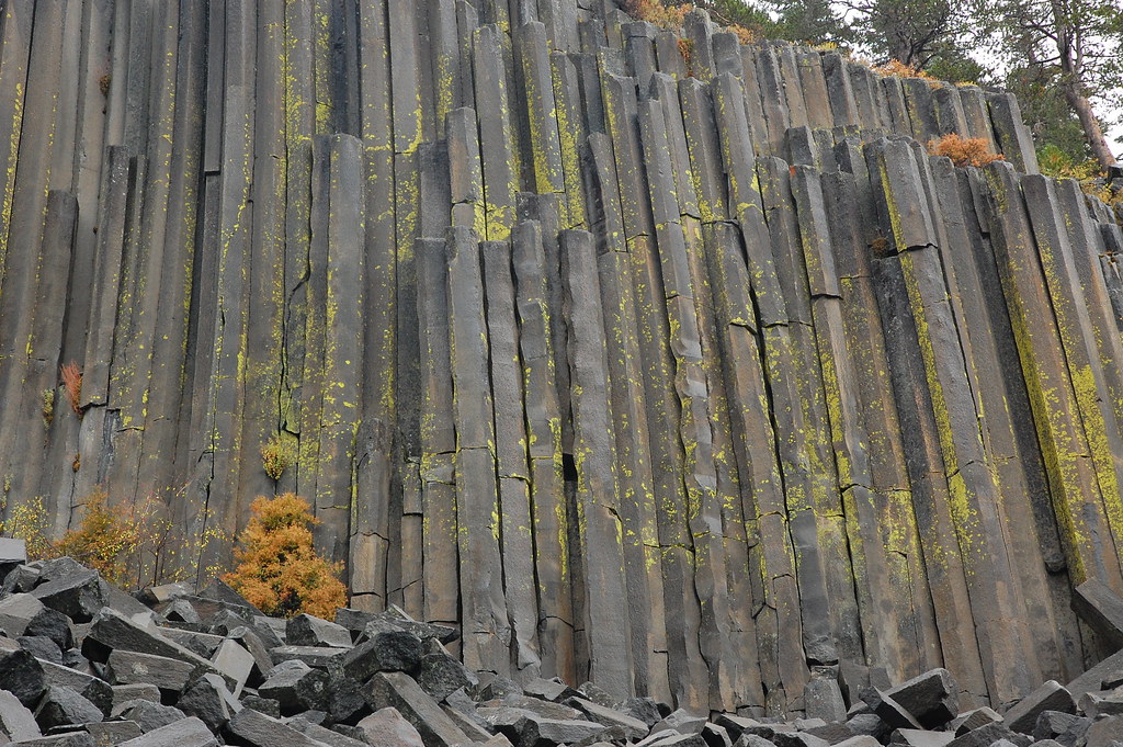 Pacific Crest TrailHiking · ~6 min drivePhoto: ilya_ktsn, CC BY 2.0 (via Flickr)
- SHADOW CREEKHiking · ~5 min drivePhoto: mjhbower, CC BY-SA 2.0 (via Flickr)
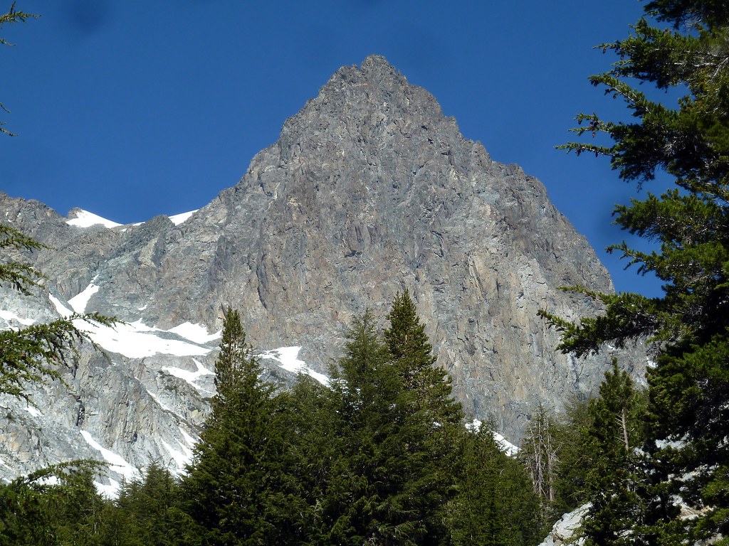 EDIZA LAKE SPURHiking · ~5 min drivePhoto: scorpio-tiger, CC BY-SA 2.0 (via Flickr)
 Summit MeadowHiking · ~6 min drivePhoto: Daniel Mayer (talk · contribs), CC BY-SA 3.0 (via Wikimedia Commons)
Also worth it near here


