Agnew Meadows Horse Campground
Campground
Campground · 0.9 mi from the trail
 Photo: mjhbower, CC BY-SA 2.0 (via Flickr)
Alert in the area
The Forest Service lists 3 alerts for Inyo National Forest.
Help Halt Golden Mussel Invasion
Agency alert covering Inyo National Forest · USFS · Inyo National Forest
Ansel Adams and John Muir Wilderness Campfire Restrictions
Agency alert covering Inyo National Forest · Order 05-04-50-25-04 · USFS · Inyo National Forest
Golden Trout and Hoover Wilderness Campfire Restrictions
Agency alert covering Inyo National Forest · Order 05-04-50-25-05 · USFS · Inyo National Forest
As of · Source: USFS · Inyo National Forest. Agencies don't list every closure — check before you go.
Shadow Creek Trail is a 1.5-mile moderate hike in the Ansel Adams Wilderness, within the Mammoth Ranger District of Inyo National Forest in California. The Forest Service manages the land, and the trail lies about 8 miles from Mammoth Lakes. The route is an out-and-back that starts at roughly 8,286 feet and climbs to about 8,296 feet, with a total gain of 1,433 feet over the round trip. The steepest stretch comes early, around 0.13 miles from the start, with a grade of about 13 percent. Summer is the most comfortable time to go. Typical averages from a nearby weather station at Mammoth Lakes show July highs around 78°F and lows near 49°F, while winter highs sit around 41°F with lows in the teens. Agnew Horse Camp and Agnew Meadows Group Camp are both about a mile away. The River South mountain biking trail is half a mile off, and the Middle Fork San Joaquin River is about 4 miles away.
Agnew Meadows Horse Campground
Campground
 If it rainsEeekster, CC BY 3.0 · Wikimedia Commons
Sierra Point
Viewpoint
Point in Yosemite National Park at the eastern end of the valley
Places © OpenStreetMap contributors, Places © Overture Maps Foundation · Photos: Eeekster, CC BY 3.0 (commons)
More in Mammoth LakesNot on Roamze yet. Their page has how to reach them.
SHADOW CREEKHikingPhoto: mjhbower, CC BY-SA 2.0 (via Flickr)0.6 miSource: Roamze catalog (indexable pages within 10 miles, PostGIS distance)
SHADOW CREEKHiking · Next doorPhoto: mjhbower, CC BY-SA 2.0 (via Flickr) River NorthHiking · ~1 min drivePhoto: mjhbower, CC BY-SA 2.0 (via Flickr)
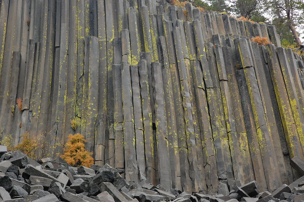 Pacific Crest TrailHiking · ~2 min drivePhoto: ilya_ktsn, CC BY 2.0 (via Flickr)
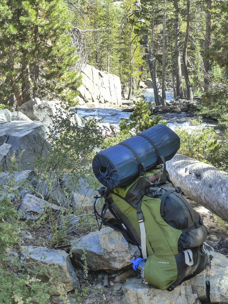 River NorthHiking · ~3 min drivePhoto: mjhbower, CC BY-SA 2.0 (via Flickr)Shadow Creek TrailHiking · ~2 min drivePhoto: mjhbower, CC BY-SA 2.0 (via Flickr)
 River SouthHiking · ~2 min drivePhoto: Alex Butterfield, CC BY 2.0 (via Flickr)
 John Muir TrailHiking · ~3 min drivePhoto: mjhbower, CC BY-SA 2.0 (via Flickr)
 Pacific Crest TrailHiking · ~5 min drivePhoto: mjhbower, CC BY-SA 2.0 (via Flickr)
 GARNET-RIVER CUTOFFHiking · ~5 min drivePhoto: Hike395 (talk · contribs), CC BY 3.0 (via Wikimedia Commons)Agnew Meadows Cg C/oHiking · ~2 min drivePhoto: ilya_ktsn, CC BY 2.0 (via Flickr)
Also worth it near here
 John MuirMountain biking · ~3 min drivePhoto: Steve Montgomery, CC BY-SA 3.0 (via Wikimedia Commons)
 San Joaquin MountainSummit · ~4 min drivePhoto: File:Alger Lakes Ansel Adams Wilderness.jpg: Steve Dunleavy from Lake Tahoe, NV, United States
cropping: Hike395, CC BY 2.0 (via Wikimedia Commons)
Best months: May–September. Best months have typical highs of 55–85 °F, lows of 30 °F or warmer (32 °F where the station doesn't record snow), at most one snowy day and no more than 12 wet days.
Jan
41° / 17°
Feb
41° / 18°
Mar
45° / 22°
Apr
51° / 27°
May
60° / 35°
Jun
70° / 42°
Jul
78° / 49°
Aug
77° / 47°
Sep
71° / 40°
Oct
61° / 30°
Nov
49° / 23°
Dec
41° / 17°
Typical high / low (°F) and days with rain or snow, 1991–2020. Measured at Mammoth Lakes Rs, CA, 8.4 mi away at 7,804 ft. This station doesn't record snowfall. Source: NOAA NCEI U.S. Climate Normals 1991–2020.
Map and trail data © OpenStreetMap contributors
