Agnew Meadows Horse Campground
Campground
Campground · 4.0 mi from the trail
 Photo: breic, CC BY 2.0 (via Flickr)
Alert in the area
The Forest Service lists 3 alerts for Inyo National Forest.
Help Halt Golden Mussel Invasion
Agency alert covering Inyo National Forest · USFS · Inyo National Forest
Ansel Adams and John Muir Wilderness Campfire Restrictions
Agency alert covering Inyo National Forest · Order 05-04-50-25-04 · USFS · Inyo National Forest
Golden Trout and Hoover Wilderness Campfire Restrictions
Agency alert covering Inyo National Forest · Order 05-04-50-25-05 · USFS · Inyo National Forest
As of · Source: USFS · Inyo National Forest. Agencies don't list every closure — check before you go.
Cecile Lake is an easy, out-and-back hike of about 1.1 miles in the Ansel Adams Wilderness, on the Mammoth Ranger District of Inyo National Forest in California. The trail gains about 524 feet, from a low point of roughly 9,810 feet to a high point of about 10,346 feet, and the Forest Service manages the land. The route is on natural surface, bikes are not allowed, and it is not an accessible trail. It stays open year-round, and the Cecile Lake Trail lies about 0.3 miles away for an easy pairing. Nearby, the Minaret Mine hike is about 1.5 miles off, and the Ritter & Minarets climbing area is about 1.7 miles away. The Middle Fork San Joaquin River and Agnew Horse Camp are both about 4 miles from the trail.
Agnew Meadows Horse Campground
Campground
Outpost 14
Restaurant
 If it rainsEeekster, CC BY 3.0 · Wikimedia Commons
Sierra Point
Viewpoint
Point in Yosemite National Park at the eastern end of the valley
Places © OpenStreetMap contributors · Photos: Eeekster, CC BY 3.0 (commons)
More in Mammoth LakesNot on Roamze yet. Their page has how to reach them.
Cecile Lake TrailHikingPhoto: breic, CC BY 2.0 (via Flickr)0.3 miSource: Roamze catalog (indexable pages within 10 miles, PostGIS distance)
Cecile Lake TrailHiking · Next doorPhoto: breic, CC BY 2.0 (via Flickr) John Muir TrailHiking · ~4 min drivePhoto: mjhbower, CC BY-SA 2.0 (via Flickr)
 Shadow Creek TrailHiking · ~6 min drivePhoto: mjhbower, CC BY-SA 2.0 (via Flickr)
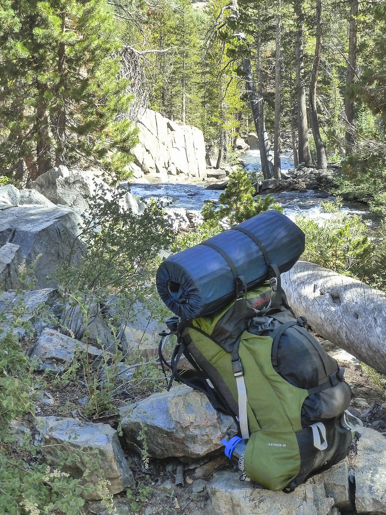 River NorthHiking · ~6 min drivePhoto: mjhbower, CC BY-SA 2.0 (via Flickr)
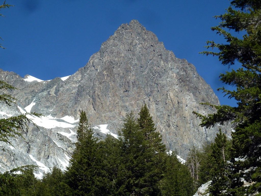 EDIZA LAKE SPURHiking · ~3 min drivePhoto: scorpio-tiger, CC BY-SA 2.0 (via Flickr)
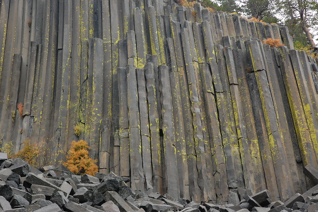 Pacific Crest TrailHiking · ~7 min drivePhoto: ilya_ktsn, CC BY 2.0 (via Flickr)
 Shadow Creek TrailHiking · ~6 min drivePhoto: mjhbower, CC BY-SA 2.0 (via Flickr)
 John Muir TrailHiking · ~6 min drivePhoto: Hike395 (talk · contribs), CC BY 3.0 (via Wikimedia Commons)
 Ediza Lake Spur TrailHiking · ~3 min drivePhoto: scorpio-tiger, CC BY-SA 2.0 (via Flickr)SHADOW CREEKHiking · ~6 min drivePhoto: mjhbower, CC BY-SA 2.0 (via Flickr)
Also worth it near here


