Middle Falls Main
 Photo: JingKe888, CC BY 2.0 (via Flickr)
- 0.2 mi
- round trip
- 3,515 ft
- high point
- Out and back
- route
- Easy
- difficulty
- May–Jun, Sep–Oct
- best months
Is Middle Falls Main open right now?
Closure in the area
There's a closure order in Shasta-Trinity National Forest. It doesn't name Middle Falls Main, so check the source for the area it covers (2 listed).
Mud and Ash Creek Area and Road Closure
Agency closure covering Shasta-Trinity National Forest · Order 14-26-13 · USFS · Shasta-Trinity National Forest
Road Closure on Wild Mad Road
Agency closure covering Shasta-Trinity National Forest · Order 14-25-09 · USFS · Shasta-Trinity National Forest
Bailey Cove Road Closure Order
Agency alert covering Shasta-Trinity National Forest · Order 14-25-11 · USFS · Shasta-Trinity National Forest
Trout Creek Bridge Closure Order
Agency alert covering Shasta-Trinity National Forest · Order 14-26-02 · USFS · Shasta-Trinity National Forest
South Fork Suspension Bridge Closure
Agency alert covering Shasta-Trinity National Forest · Order 14-25-30 · USFS · Shasta-Trinity National Forest
As of · Source: USFS · Shasta-Trinity National Forest. Agencies don't list every closure — check before you go.
Middle Falls Main is a short out-and-back trail in California's Middle Falls area. The trail is 0.19 miles long and follows an out-and-back route.
- Nearby · Lower Falls Nature · RED FIR RIDGE · Upper Mccloud River
Best time to go · May–Jun, Sep–Oct
Best time to visit Middle Falls Main
Best months: May–June and September–October. Best months have typical highs of 55–85 °F, lows of 30 °F or warmer (32 °F where the station doesn't record snow), at most one snowy day and no more than 12 wet days.
Jan
47° / 24°
Feb
51° / 25°
Mar
55° / 28°
Apr
61° / 31°
May
71° / 39°
Jun
81° / 44°
Jul
90° / 50°
Aug
89° / 47°
Sep
84° / 41°
Oct
71° / 33°
Nov
55° / 28°
Dec
47° / 24°
Typical high / low (°F) and days with rain or snow, 1991–2020. Measured at Mccloud, CA, 6.8 mi away at 3,233 ft. This station doesn't record snowfall. Source: NOAA NCEI U.S. Climate Normals 1991–2020.
Keep exploring — more trails worth the drive
Photo: JingKe888, CC BY 2.0 (via Flickr)Lower Falls Nature
~2 min drive
0.35-mile out-and-back trail in California with 34 ft of elevation gain.
 Photo: davidwilson1949, CC BY 2.0 (via Flickr)
RED FIR RIDGE
~18 min drive
4.26-mile out-and-back trail in California with 1,269 ft elevation gain and loss.
HIKE
Upper Mccloud River
~11 min drive
30.50-mile out-and-back trail in California with 924 ft elevation gain.
HIKE
Pacific Crest National Scenic Trail #2000
~18 min drive
26.54-mile out-and-back on the Pacific Crest National Scenic Trail in California
Photo: davidwilson1949, CC BY 2.0 (via Flickr)South Gate Trail
~20 min drive
0.62-mile out-and-back trail in California with 312 ft elevation gain
 Photo: Moo.The.Cow, CC BY 2.0 (via Flickr)
Green Butte
~22 min drive
Green Butte is a 4.13-mile out-and-back trail in California with 1,798 feet of elevation gain.
HIKE
Great Shasta Rail Trail: Hambone Branch
~18 min drive
23.88-mile out-and-back rail trail in California with 1,747 ft elevation gain
HIKE
SUPRISE LAKE
~19 min drive
18.28-mile out-and-back trail in California with 2,781 ft elevation gain
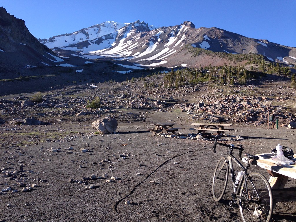 Photo: alexik, CC BY-SA 2.0 (via Flickr)
Gray Butte-The Gate Trail
~21 min drive
1.66-mile out-and-back hike in California with 651 ft elevation gain
 Photo: wikiphotographer, CC BY-SA 2.0 (via Flickr)
Snow Bunny Trail (Stewart Trail)
~24 min drive
4.18-mile out-and-back trail in California with 1,688 ft elevation gain and loss.


