Suprise Lake
- 9.1 mi
- round trip
- 2,781 ft
- climb
- 6,638 ft
- high point
- Out and back
- route
Caution today
Weather is marginal · OpenWeather · checked just now
Surprise Lake is a hike in California, about 9.7 miles from the small community of Ash Creek Junction. It is an out-and-back route with a total length of about 18 miles, and the one-way elevation gain is roughly 2,300 feet, with the high point at about 6,638 feet. The climb is front-loaded, and the steepest stretch comes at about 7.6 miles in, where the grade reaches about 13%. The route is rated expert, and the full round trip involves about 2,781 feet of gain and the same amount of descent. Nearby paddling options include Ash Creek and Dry Creek, both about 4 miles away. For more hiking, the ASH CRK LOOP lies about 5.4 miles off, and Trout Creek Meadow Campground is about 7.7 miles away.
- Ash CreekCanoeing3.9 mi
- Dry CreekCanoeing4.1 mi
- ASH CRK LOOPHiking5.4 mi
- Clear CreekHiking6 mi
- BREWER CREEKHiking6.2 mi
- Edson CreekCanoeing6.5 mi
- Trout Creek Meadow (Cg-F)Camping7.7 mi
- Panther Meadows CgCamping9.9 mi
Source: Roamze catalog (indexable pages within 10 miles, PostGIS distance)
 South Gate TrailHiking · ~14 min drivePhoto: davidwilson1949, CC BY 2.0 (via Flickr)
 Green ButteHiking · ~17 min drivePhoto: Moo.The.Cow, CC BY 2.0 (via Flickr)
- Clear Creek Climbing Route (Stewart Trail)Hiking · ~13 min drive
- Hotlum Bolum RidgeHiking · ~16 min drive
 South Gate Meadows Trail (Stewart Trail)Hiking · ~15 min drivePhoto: Moo.The.Cow, CC BY 2.0 (via Flickr)
 Horse Camp Trail (Sisson's Trail) NO DOGSHiking · ~19 min drivePhoto: wikiphotographer, CC BY-SA 2.0 (via Flickr)
- HORSE PEAKHiking · ~14 min drive
- UPPER ANTELOPE CREEKHiking · ~16 min drive
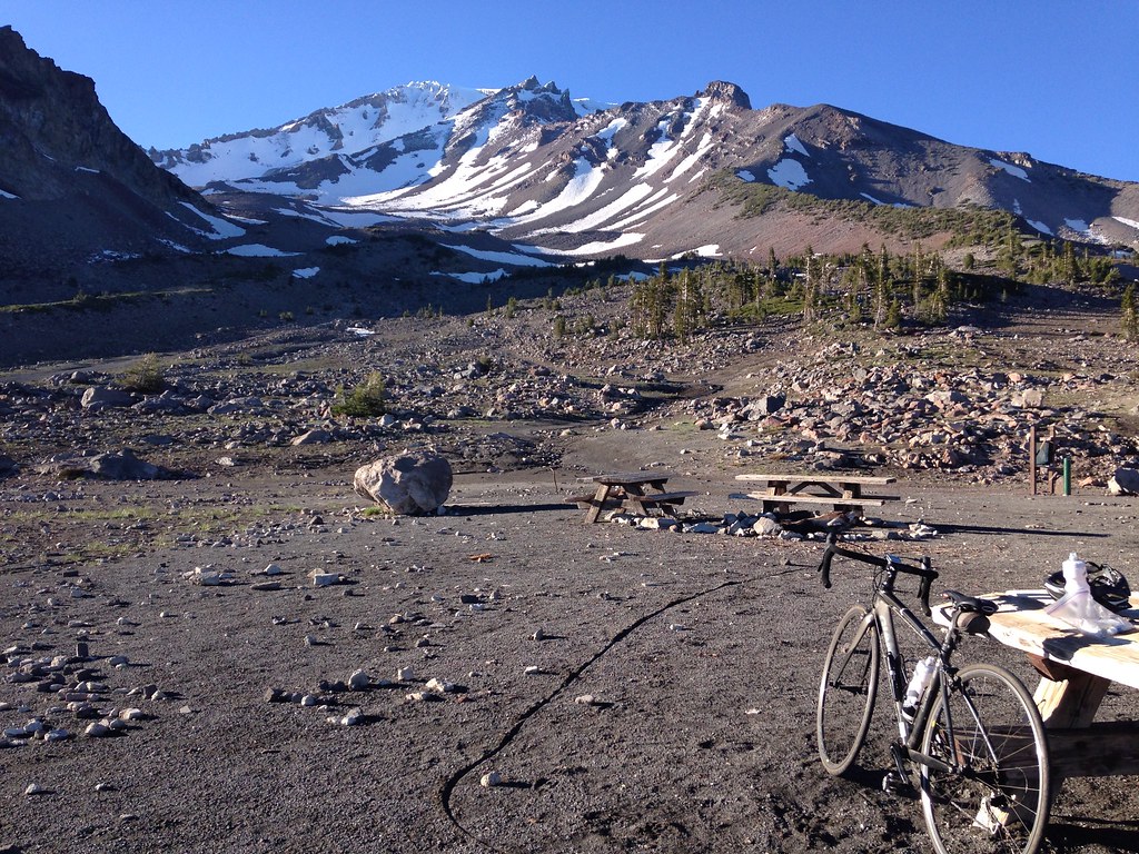 Gray Butte-The Gate TrailHiking · ~16 min drivePhoto: alexik, CC BY-SA 2.0 (via Flickr)
- Snow Bunny Trail (Stewart Trail)Hiking · ~20 min drivePhoto: wikiphotographer, CC BY-SA 2.0 (via Flickr)
Also worth it near here


