Lower Falls Nature
 Photo: JingKe888, CC BY 2.0 (via Flickr)
- 0.4 mi
- round trip
- 14 ft
- climb
- 3,292 ft
- high point
- Out and back
- route
- May–Jun, Sep–Oct
- best months
Is Lower Falls Nature open right now?
Closure in the area
There's a closure order in Shasta-Trinity National Forest. It doesn't name Lower Falls Nature, so check the source for the area it covers (2 listed).
Mud and Ash Creek Area and Road Closure
Agency closure covering Shasta-Trinity National Forest · Order 14-26-13 · USFS · Shasta-Trinity National Forest
Road Closure on Wild Mad Road
Agency closure covering Shasta-Trinity National Forest · Order 14-25-09 · USFS · Shasta-Trinity National Forest
Trout Creek Bridge Closure Order
Agency alert covering Shasta-Trinity National Forest · Order 14-26-02 · USFS · Shasta-Trinity National Forest
South Fork Suspension Bridge Closure
Agency alert covering Shasta-Trinity National Forest · Order 14-25-30 · USFS · Shasta-Trinity National Forest
Ah-Di-Na Area Closure
Agency alert covering Shasta-Trinity National Forest · Order 14-25-10 · USFS · Shasta-Trinity National Forest
As of · Source: USFS · Shasta-Trinity National Forest. Agencies don't list every closure — check before you go.
Lower Falls Nature is a short out-and-back trail in California covering 0.35 miles with 34 feet of elevation gain. The trail is managed by the Forest Service.
- Middle Falls MainHiking · ~2 min drivePhoto: JingKe888, CC BY 2.0 (via Flickr)
 Green ButteHiking · ~21 min drivePhoto: Moo.The.Cow, CC BY 2.0 (via Flickr)
- Pacific Crest National Scenic Trail #2000Hiking · ~17 min drive
- Cabin Creek TrailHiking · ~18 min drive
 South Gate TrailHiking · ~20 min drivePhoto: davidwilson1949, CC BY 2.0 (via Flickr)
 Snow Bunny Trail (Stewart Trail)Hiking · ~23 min drivePhoto: wikiphotographer, CC BY-SA 2.0 (via Flickr)
- Pacific Crest TrailHiking · ~22 min drive
- Clear Creek Climbing Route (Stewart Trail)Hiking · ~21 min drive
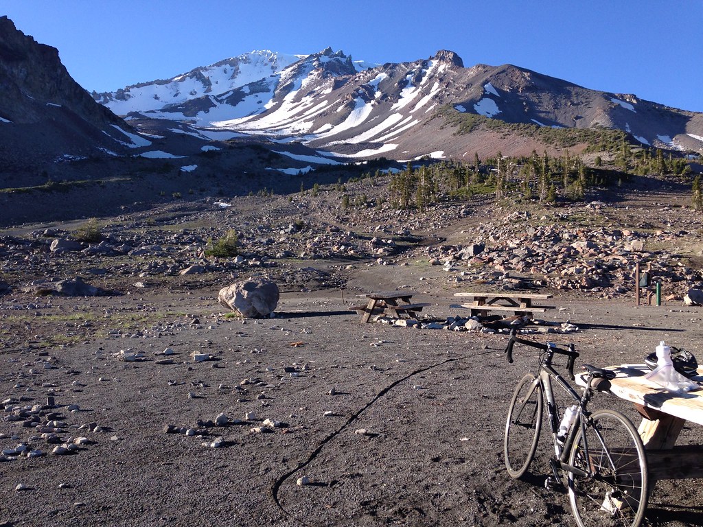 Gray Butte-The Gate TrailHiking · ~20 min drivePhoto: alexik, CC BY-SA 2.0 (via Flickr)
- Horse Camp Trail (Sisson's Trail) NO DOGSHiking · ~24 min drivePhoto: wikiphotographer, CC BY-SA 2.0 (via Flickr)
Also worth it near here
Best time to visit Lower Falls Nature
Best months: May–June and September–October. Best months have typical highs of 55–85 °F, lows of 30 °F or warmer (32 °F where the station doesn't record snow), at most one snowy day and no more than 12 wet days.
Jan
47° / 24°
Feb
51° / 25°
Mar
55° / 28°
Apr
61° / 31°
May
71° / 39°
Jun
81° / 44°
Jul
90° / 50°
Aug
89° / 47°
Sep
84° / 41°
Oct
71° / 33°
Nov
55° / 28°
Dec
47° / 24°
Typical high / low (°F) and days with rain or snow, 1991–2020. Measured at Mccloud, CA, 5.9 mi away at 3,233 ft. This station doesn't record snowfall. Source: NOAA NCEI U.S. Climate Normals 1991–2020.


