Mariposa Trail
 Photo: docentjoyce, CC BY 2.0 (via Flickr)
- 0.5 mi
- round trip
- 454 ft
- climb
- 425 ft
- high point
- Out and back
- route
- Jan–Dec
- best months
The Mariposa Trail is an easy, half-mile out-and-back hike in the Irish Hills Natural Reserve in California, on city-managed land. It rises from a low point of 169 feet to a high of 425 feet, with a total climb of 454 feet over the course of the route, which makes it an out-and-back trip of about a mile. The trail's climb is front-loaded, with the steepest stretch at about 0.09 miles from the start, where the grade reaches 14 percent. That makes it a short but modest workout, and the whole route can be done in about half a day. Spring and fall are the most comfortable times to go. Typical averages from a nearby weather station at San Luis Obispo show May highs around 72°F and October highs around 78°F, with almost no wet days in July and August. Winter brings the most rain, with about nine wet days a month from December through February. Several other trails lie close by. King Trail is 0.4 miles away and Froom Creek Trail is 0.5 miles away, with Pond Loop and Mine Loop each within a mile. Climbers can find Cerro San Luis Obispo about 2.3 miles off.
- King TrailHiking0.4 mi
 Froom Creek TrailHikingPhoto: Dan Harrelson, CC BY 2.0 (via Flickr)0.5 mi
- Pond LoopHiking0.7 mi
- Mine LoopHiking0.8 mi
- Cerro San Luis ObispoRock climbing2.3 mi
- Toprope BoulderRock climbing2.6 mi
- SummitRock climbing2.6 mi
- San Luis ObispoRock climbing2.7 mi
Source: Roamze catalog (indexable pages within 10 miles, PostGIS distance)
- Froom Creek TrailHiking · Next doorPhoto: Dan Harrelson, CC BY 2.0 (via Flickr)
 Tower Ridge TrailHiking · ~7 min drivePhoto: hakkun, CC BY-SA 3.0 (via Wikimedia Commons)
- Reservoir Canyon Summit TrailHiking · ~7 min drivePhoto: hakkun, CC BY-SA 3.0 (via Wikimedia Commons)
 Bowden Ranch trailHiking · ~7 min drivePhoto: hakkun, CC BY-SA 3.0 (via Wikimedia Commons)
 Reservoir Canyon TrailHiking · ~8 min drivePhoto: hakkun, CC BY-SA 3.0 (via Wikimedia Commons)
- Creek Bypass TrailHiking · ~8 min drivePhoto: hakkun, CC BY-SA 3.0 (via Wikimedia Commons)
 Ontario Ridge TrailHiking · ~9 min drivePhoto: Sergei Gussev, CC BY 3.0 (via Wikimedia Commons)
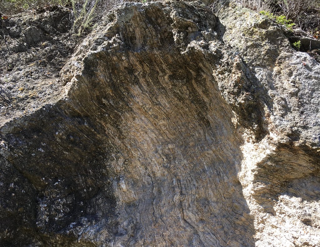 Sycamore Crest TrailHiking · ~8 min drivePhoto: docentjoyce, CC BY 2.0 (via Flickr)
 Panorama TrailHiking · ~11 min drivePhoto: SDASM Archives, Public domain (via Wikimedia Commons)
 Shell Beach Bluff TrailHiking · ~9 min drivePhoto: Sergei Gussev, CC BY 3.0 (via Wikimedia Commons)
Also worth it near here
 Cerro San Luis ObispoSummit · ~4 min drivePhoto: Ken Broomfield, CC BY-SA 3.0 (via Wikimedia Commons)
- Route 1 - San Luis Obispo North Coast BywayScenic drive · ~5 min drive
 Hidden GullyRock climbing · ~6 min drivePhoto: hakkun, CC BY-SA 3.0 (via Wikimedia Commons)
- Cave Landing Road AccessBeach · ~9 min drive
Best time to visit Mariposa Trail
Best months: Year-round. Best months have typical highs of 55–85 °F, lows of 30 °F or warmer (32 °F where the station doesn't record snow), at most one snowy day and no more than 12 wet days.
Jan
65° / 44°
9 wet
Feb
65° / 44°
9 wet
Mar
67° / 46°
8 wet
Apr
69° / 47°
4 wet
May
72° / 49°
2 wet
Jun
76° / 52°
1 wet
Jul
78° / 54°
0 wet
Aug
80° / 55°
0 wet
Sep
80° / 54°
1 wet
Oct
78° / 52°
3 wet
Nov
71° / 47°
5 wet
Dec
64° / 44°
8 wet
Typical high / low (°F) and days with rain or snow, 1991–2020. Measured at San Luis Obispo Poly, CA, 4.1 mi away at 308 ft. Source: NOAA NCEI U.S. Climate Normals 1991–2020.
Map and trail data © OpenStreetMap contributors
