King Trail
- 1.4 mi
- round trip
- 1,424 ft
- climb
- 629 ft
- high point
- Out and back
- route
- Jan–Dec
- best months
Clear today
Weather is good · OpenWeather · checked just now
King Trail is a 2.9-mile out-and-back hike in Irish Hills Natural Reserve, a city-managed reserve in California. The trail starts and ends at about 629 feet, with a total climb of 1,424 feet, and the steepest part comes around the 1.1-mile mark at a 15% grade. Late spring and early fall are the most comfortable times to go. Typical averages from a nearby weather station in San Luis Obispo show May highs around 72°F and September highs near 80°F, with almost no rain in July and August. Other hikes sit close by: the Mariposa Trail is 0.4 miles away, Mine Loop is 0.6 miles away, and Bog Thistle Trail and Froom Creek Trail are each about 0.7 miles away.
 Mariposa TrailHikingPhoto: docentjoyce, CC BY 2.0 (via Flickr)0.4 mi
- Mine LoopHiking0.6 mi
- Bog Thistle TrailHiking0.7 mi
 Froom Creek TrailHikingPhoto: Dan Harrelson, CC BY 2.0 (via Flickr)0.7 mi
- Cerro San Luis ObispoRock climbing2.6 mi
- San Luis ObispoRock climbing2.7 mi
- Toprope BoulderRock climbing2.9 mi
- SummitRock climbing2.9 mi
Source: Roamze catalog (indexable pages within 10 miles, PostGIS distance)
- Mariposa TrailHiking · Next doorPhoto: docentjoyce, CC BY 2.0 (via Flickr)
- Froom Creek TrailHiking · ~1 min drivePhoto: Dan Harrelson, CC BY 2.0 (via Flickr)
 Tower Ridge TrailHiking · ~7 min drivePhoto: hakkun, CC BY-SA 3.0 (via Wikimedia Commons)
- Reservoir Canyon Summit TrailHiking · ~7 min drivePhoto: hakkun, CC BY-SA 3.0 (via Wikimedia Commons)
 Bowden Ranch trailHiking · ~8 min drivePhoto: hakkun, CC BY-SA 3.0 (via Wikimedia Commons)
 Reservoir Canyon TrailHiking · ~9 min drivePhoto: hakkun, CC BY-SA 3.0 (via Wikimedia Commons)
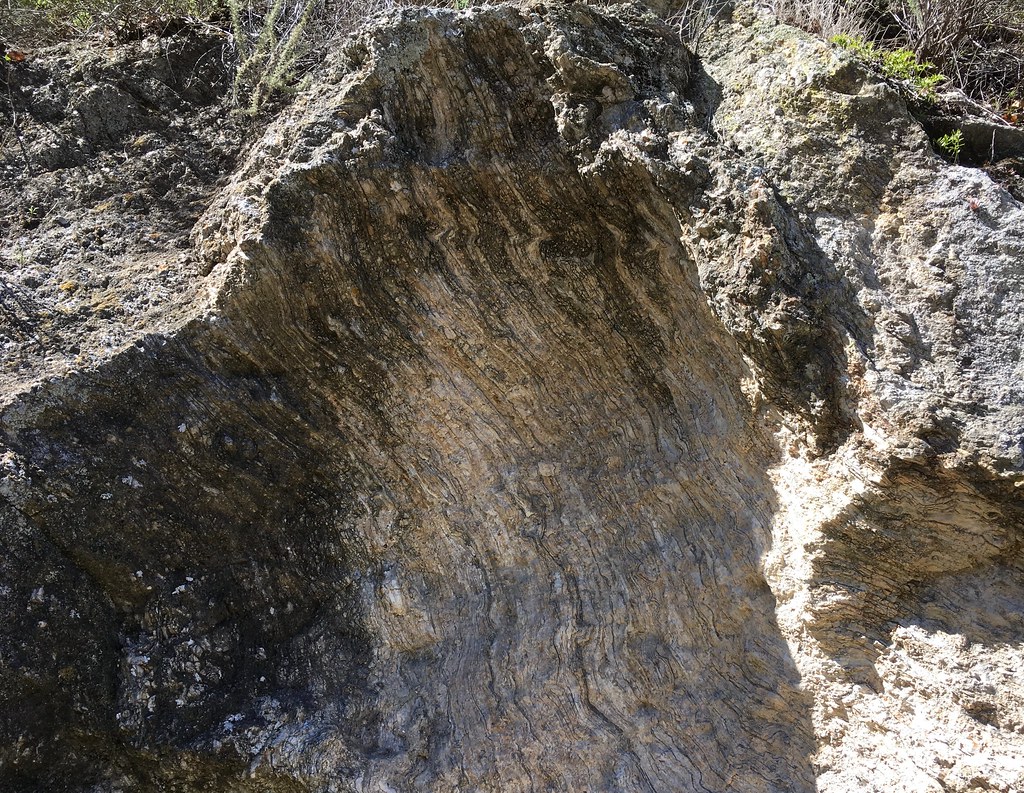 Sycamore Crest TrailHiking · ~8 min drivePhoto: docentjoyce, CC BY 2.0 (via Flickr)
 Ontario Ridge TrailHiking · ~9 min drivePhoto: Sergei Gussev, CC BY 3.0 (via Wikimedia Commons)
- Creek Bypass TrailHiking · ~8 min drivePhoto: hakkun, CC BY-SA 3.0 (via Wikimedia Commons)
 Panorama TrailHiking · ~11 min drivePhoto: SDASM Archives, Public domain (via Wikimedia Commons)
Also worth it near here
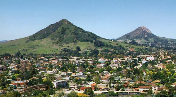 Cerro San Luis ObispoSummit · ~4 min drivePhoto: Ken Broomfield, CC BY-SA 3.0 (via Wikimedia Commons)
- Route 1 - San Luis Obispo North Coast BywayScenic drive · ~5 min drive
 Hidden GullyRock climbing · ~6 min drivePhoto: hakkun, CC BY-SA 3.0 (via Wikimedia Commons)
- Cave Landing Road AccessBeach · ~9 min drive
Best time to visit King Trail
Best months: Year-round. Best months have typical highs of 55–85 °F, lows of 30 °F or warmer (32 °F where the station doesn't record snow), at most one snowy day and no more than 12 wet days.
Jan
65° / 44°
9 wet
Feb
65° / 44°
9 wet
Mar
67° / 46°
8 wet
Apr
69° / 47°
4 wet
May
72° / 49°
2 wet
Jun
76° / 52°
1 wet
Jul
78° / 54°
0 wet
Aug
80° / 55°
0 wet
Sep
80° / 54°
1 wet
Oct
78° / 52°
3 wet
Nov
71° / 47°
5 wet
Dec
64° / 44°
8 wet
Typical high / low (°F) and days with rain or snow, 1991–2020. Measured at San Luis Obispo Poly, CA, 4.3 mi away at 308 ft. Source: NOAA NCEI U.S. Climate Normals 1991–2020.
Map and trail data © OpenStreetMap contributors
