Marion Mountain
Campground
The next 3 weekends are full on Recreation.gov
 Photo: inkknife_2000 (7.5 million views +), CC BY-SA 2.0 (via Wikimedia Commons)
Alert in the area
The Forest Service lists 2 alerts for San Bernardino National Forest.
Safety Alert - Falling Rocks at Bonita Falls
Agency alert covering San Bernardino National Forest · USFS · San Bernardino National Forest
Fire Restrictions
Agency alert covering San Bernardino National Forest · Order 05-12-00-26-05 · USFS · San Bernardino National Forest
As of · Source: USFS · San Bernardino National Forest. Agencies don't list every closure — check before you go.
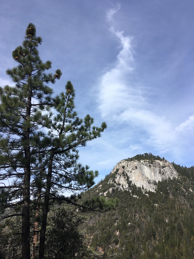
Marion Mountain is a 3-mile out-and-back hike in the San Jacinto Ranger District of San Bernardino National Forest, managed by the Forest Service. The trail is rated moderate, and the one-way climb gains about 1,085 feet, carrying hikers from a low of roughly 6,322 feet to a high of about 7,428 feet. Fern Basin campground sits just 0.2 miles from the trail, making it an easy base for the climb. Other Problems, a climbing area, is 0.3 miles away, and the Stone Creek Trail lies about 0.8 miles off. Boulder Basin campground is about 2.6 miles away.
Marion Mountain
Campground
Lumber Mill
Restaurant
 If it rainsVisitor7, CC BY-SA 3.0 · Wikimedia Commons
Places © OpenStreetMap contributors · Photos: Visitor7, CC BY-SA 3.0 (commons)
More in Desert Hot SpringsNot on Roamze yet. Their page has how to reach them.
San Jacinto MountainsRock climbingPhoto: inkknife_2000 (7.5 million views +), CC BY-SA 2.0 (via Wikimedia Commons)0.8 mi Deer Springs TrailHikingPhoto: HikingMike, CC BY 2.0 (via Flickr)1.9 mi
Source: Roamze catalog (indexable pages within 10 miles, PostGIS distance)
Seven PinesHiking · ~2 min drivePhoto: inkknife_2000 (7.5 million views +), CC BY-SA 2.0 (via Wikimedia Commons) Deer Springs TrailHiking · ~4 min drivePhoto: inkknife_2000 (7.5 million views +), CC BY-SA 2.0 (via Wikimedia Commons)
 ClimbersHiking · ~5 min drivePhoto: sergei.gussev, CC BY 2.0 (via Flickr)
 Suicide RockHiking · ~5 min drivePhoto: sergei.gussev, CC BY 2.0 (via Flickr)
 Peak TrailHiking · ~6 min drivePhoto: inkknife_2000 (7.5 million views +), CC BY-SA 2.0 (via Wikimedia Commons)
 Ernie Maxwell Scenic TrailHiking · ~6 min drivePhoto: atramos, CC BY 2.0 (via Flickr)
 Nature TrailHiking · ~5 min drivePhoto: inkknife_2000 (7.5 million views +), CC BY-SA 2.0 (via Wikimedia Commons)CarambaHiking · ~6 min drivePhoto: inkknife_2000 (7.5 million views +), CC BY-SA 2.0 (via Wikimedia Commons)Devil's SlideHiking · ~6 min drivePhoto: atramos, CC BY 2.0 (via Flickr)
 Deer SpringsHiking · ~5 min drivePhoto: sergei.gussev, CC BY 2.0 (via Flickr)
