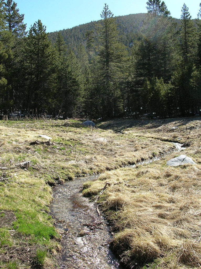
Marion Mountain Trail
Marion Mountain Trail in California has 2 bouldering routes.
- 2 routes
- V2 – V10-
- Bouldering
Is Marion Mountain Trail open right now?
Alert in the area
The Forest Service lists 2 alerts for San Bernardino National Forest.
Safety Alert - Falling Rocks at Bonita Falls
Agency alert covering San Bernardino National Forest · USFS · San Bernardino National Forest
Fire Restrictions
Agency alert covering San Bernardino National Forest · Order 05-12-00-26-05 · USFS · San Bernardino National Forest
As of · Source: USFS · San Bernardino National Forest. Agencies don't list every closure — check before you go.
Marion Mountain Trail is a bouldering area in the San Jacinto Ranger District of San Bernardino National Forest in California, managed by the Forest Service. It sits among a cluster of climbing, fishing and hiking spots, with Fern Basin Campground and the Stone Creek Trail just under a mile away. The area holds two bouldering routes, both of which are boulder problems. Musette is a V2, and Shadow of the Colosssus is a V10-. The grades range from V2 to V10-, so the area works for climbers looking for problems across different levels of difficulty. Nearby, the Other Problems climbing area lies about 0.4 miles away, and the Marion Mountain saltwater fishing spot is about 0.5 miles off. Fern Basin Campground is roughly 0.8 miles away, and the San Jacinto Mountains climbing area is about 1.1 miles away.
Routes (2)
Musette(1)
Valley of Sleeping Giants(1)
Keep exploring — more climbs worth the drive
 Photo: inkknife_2000 (7.5 million views +), CC BY-SA 2.0 (via Wikimedia Commons)
San Jacinto Mountains
~2 min drive
San Jacinto Mountains in California offers 10 climbing routes across 9 difficulty grades.
 Photo: HikingMike, CC BY 2.0 (via Flickr)
(o) Right of the Escalator
~4 min drive
Right of the Escalator in California has 17 routes with 10 difficulty grades, offering sport and trad climbing.
 Photo: Benjamin Crowell, CC BY-SA 4.0 (via Wikimedia Commons)
(f) Limp Dick
~4 min drive
Limp Dick is a California climbing crag with 6 routes, offering sport and trad climbing.
Photo: Benjamin Crowell, CC BY-SA 4.0 (via Wikimedia Commons)(i) Below Smooth Sole Wall Face
~4 min drive
8 mixed climbing routes at Below Smooth Sole Wall Face in California.
Photo: HikingMike, CC BY 2.0 (via Flickr)Smooth Sole Wall - Left Side
~4 min drive
7-route climbing area in California with mixed and trad styles.
 Photo: HikingMike, CC BY 2.0 (via Flickr)
(s) Tiny Pillars
~4 min drive
5 routes at Tiny Pillars in California range from moderate to hard, offering sport and trad climbing.
Photo: HikingMike, CC BY 2.0 (via Flickr)(t) Eagle Pinnacle
~4 min drive
Eagle Pinnacle is a climbing area in California with 29 routes.
Photo: Benjamin Crowell, CC BY-SA 4.0 (via Wikimedia Commons)Suicide Rock
~4 min drive
Suicide Rock in California has 19 climbing routes across 10 difficulty grades.
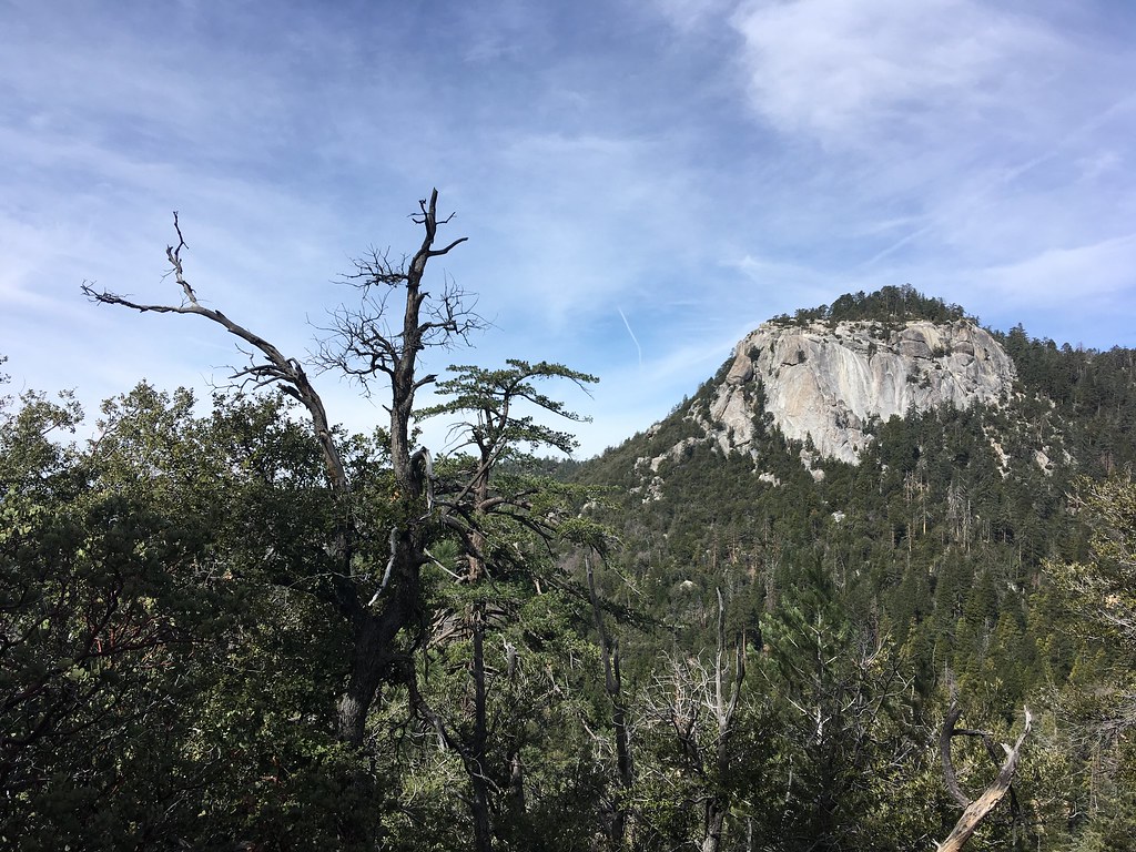 Photo: sergei.gussev, CC BY 2.0 (via Flickr)
(p) Godzilla Face
~4 min drive
Godzilla Face in California has 7 trad climbing routes across 7 difficulty grades.
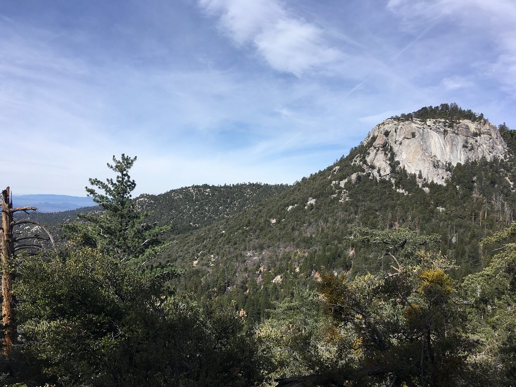 Photo: sergei.gussev, CC BY 2.0 (via Flickr)
(m) The Weeping Wall
~4 min drive
The Weeping Wall in California has 15 traditional climbing routes across 6 grades.