Loading…

Free — you'll pick up right here.
Watch this trail
Sign up to watch it — saving subscribes you to gate, closure and report changes.
California
542 ft
Gain
We won't guess. Here is exactly what we do and don't know.
What we do know
Inside Redwood National Park
National Park unit boundary is mapped — agency alerts for it feed this page automatically.
Boundary data
What's missing
No access route mapped
We don't yet know which road reaches this trailhead, so we can't tell you if it's gated.
Nobody's filed a report here yet — be the first.
Why you'll love it
Lyons Ranch Trailhead
AI-suggested draft · review before you go
No permit or access details on file for this trail — check with the local land manager before you go.
Located on the Bald Hills Road, this is the start/end of the four-mile roundtrip hike down to the historic Lyons Ranch. The Bald Hills Road is not recommended for recreational vehicles, campers or anything towing a trailer. <br /> <br /> This trailhead is about 2,500 feet in elevation, and is set well above the redwood forests far below. There is gravel parking for a dozen cars. In summer, it will be hot and exposed here compared to all the other places in Redwood National and State Parks. In winter, snow can cover this part of the Bald Hills Road and the trail will be difficult to hike on.<br /> <br /> No water or facilities are provided at the trailhead. The wide open spaces along this trail are completely different to any of the other views in the parks.<br /> <br /> At this site, views across the prairies covered with spring flowers, and views into the night sky are spectacular. Black bears, Roosevelt elk, and snakes have be seen in this area.<br /> <br /> The trail descends 400-feet as it follows dirt roads down the hill, through occasional groves of oaks to Lyons Ranch. This was a 19th and 20th century sheep farming operation which is now listed on the National Register of Historic Places.<br /> <br /> <a href="https://www.nps.gov/redw/learn/management/rxfire.htm">Prescribed fire operations</a> occur in the Bald Hills in the autumn and these keep the prairies open.<br /> <br /> <span style="font-size:11pt"><span style="line-height:107%"><span style="font-family:Calibri,sans-serif">Safety Tips</span></span></span> <ul> <li><span style="font-size:11pt"><span style="line-height:107%"><span style="font-family:Calibri,sans-serif">We recommend you purchase and use a good map and trail guide for your adventures in Redwood National and State Parks. Don’t rely on online maps when you are here.</span></span></span></li> <li><span style="font-size:11pt"><span style="line-height:107%"><span style="font-family:Calibri,sans-serif">To protect the habitats, leave no trace also means staying on the developed trail. Please don’t go off-trail and make any new trails. These forests grow by the inch, and will die by your foot.</span></span></span></li> <li><span style="font-size:11pt"><span style="line-height:107%"><span style="font-family:Calibri,sans-serif">To protect the wildlife (and you and other visitors), pets are not allowed on park trails.</span></span></span></li> <li><span style="font-size:11pt"><span style="line-height:107%"><span style="font-family:Calibri,sans-serif">Cell coverage is very limited and cannot be relied on in an emergency. Have a plan for checking in and checking out with a friend when you are here.</span></span></span></li> </ul> <br /> <br />
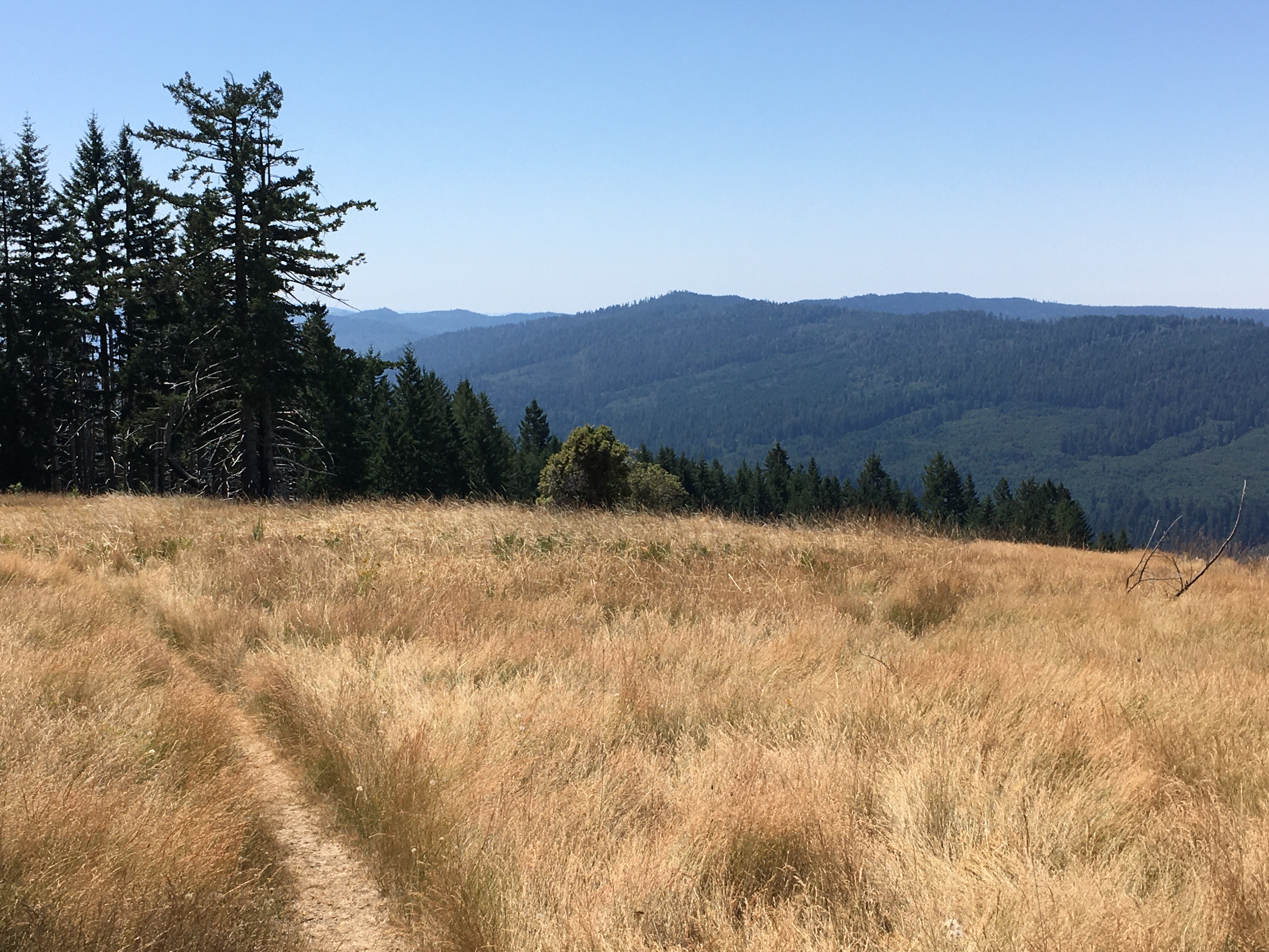
Dolason Prairie Trail
~9 min drive
A Hiker's Adventure Going From High Prairies Into A Deep River Valley<br /> <br /> This ten-mile trail is unique. It begins in the high meadows of the Bald Hills, passes a historic 19th century barn, and descends 2,500 feet into the heart of Redwood and Emerald Creeks. Then yo…
Red Mountain Lake
~21 min drive
Short alpine lake hike with steady elevation gain and mountain views.
Blue Lake
~22 min drive
Easy 1.16-mile hike to a scenic alpine lake with 272 ft elevation gain.
Red Cap Hole
~37 min drive
Moderate 6-mile day hike with 803 ft elevation gain near Red Cap Hole.
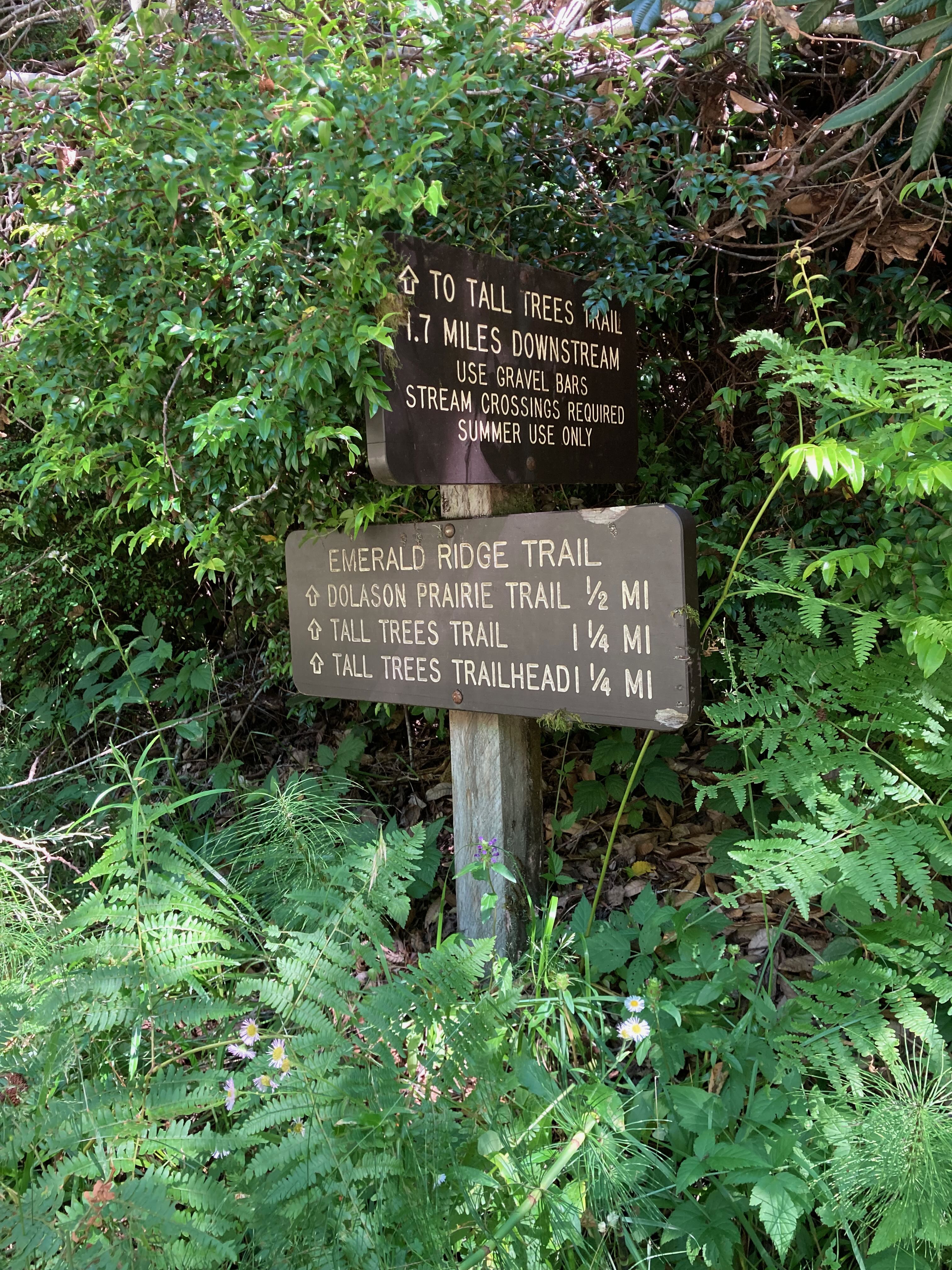
Emerald Ridge Trail
~11 min drive
<ul> <li> <p><strong>Location:</strong> Bald Hills Road, Redwood National Park</p> </li> <li> <p><strong>Trailhead</strong>: Begin trail from near Tall Trees Trailhead or at the junction along Dolason Prairie trail.</p> </li> <li> <p><strong>Mileage</strong>: 1.5 miles</p> </l…
Bremer Ridge
~34 min drive
Steady ridgeline hike with 679 ft gain and scenic vistas.
Bluff Creek Historical Trail
~24 min drive
Steep historical trail with 1,497 ft gain through scenic California forest.
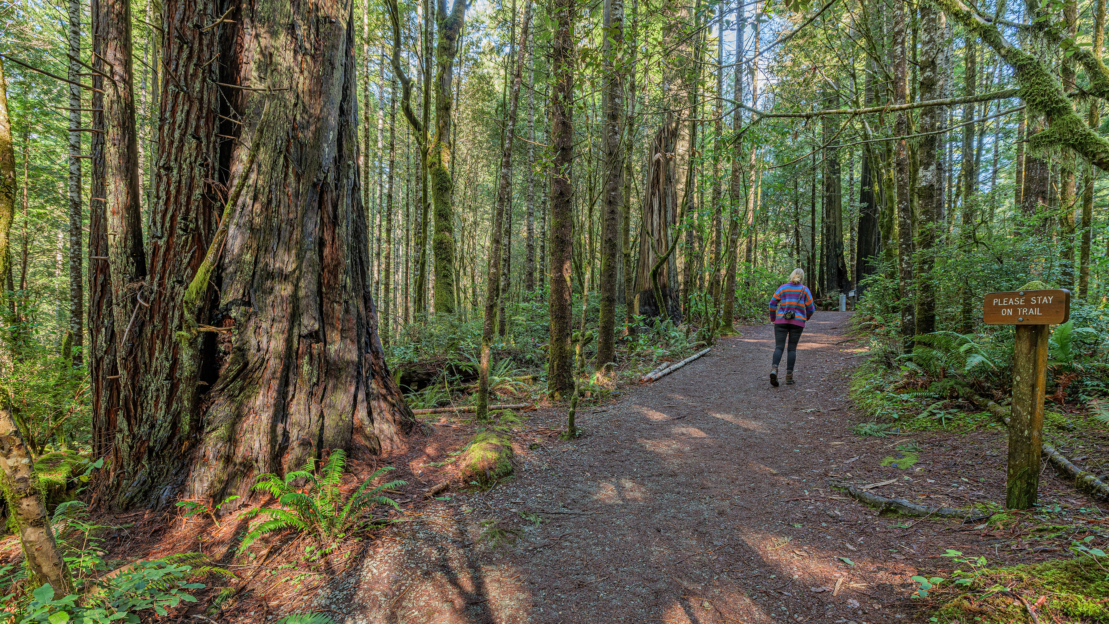
Lady Bird Johnson Nature Trail Beginning
~22 min drive
<b>Welcome to the Lady Bird Johnson Grove Nature Trail</b><br /> <br /> This 1.5mile (2.4km) loop winds through an old-growth redwood forest. This grove, like many others in Redwood National and State Parks, stands as a reminder of the extensive redwood forests that one blanke…
Crogan Hole
~35 min drive
Moderate 5.84-mile hike with 1,235 ft elevation gain in California.
Mill Creek Lakes Loop
~36 min drive
Easy alpine lake loop with scenic views and minimal elevation gain.